CoP 28 : Good use of data is key to mitigating the climate emergency 

MapAction urges world leaders and stakeholders gathered at COP28 to promote data-driven solutions to improve the lives of people on the front lines of climate change. (A version of this article was first published before CoP27 in Egypt in 2022. It was updated for CoP28 in November 2023. )

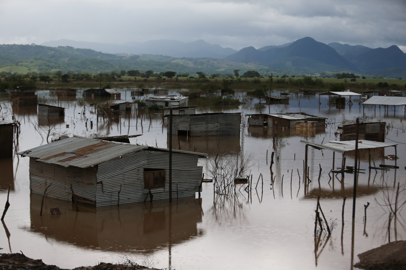
In recent years we have seen a large increase in the number of natural disasters worldwide. Regular climate-related disasters are exacerbating water and food insecurity. 

How emergency relief stakeholders and governments coordinate their responses to the climate emergency can impact the recovery of affected communities. That is why good data is key to preparedness and mitigation, especially in locations with limited resources. 

Ice and snow on the Hindu Kush mountain range, which runs along the Afghanistan-Pakistan border, is melting and causing devastating floods in both countries. Photo: MapAction

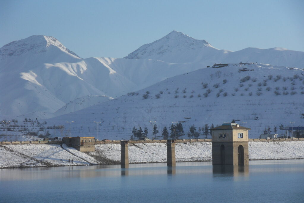
As the changing climate ravages and displaces some of the world’s poorest communities, good data use will not prevent such climate-driven occurrences. It can only soften the effects by helping the affected communities, and stakeholders, to be prepared and to coordinate relief strategies. Good use of data in decision-making at key moments can reduce the human cost of the climate emergency. 

“Data, often visualised through maps, can help identify who the most vulnerable people are, where they are, and highlight need,” said Nick Moody, MapAction’s chair of trustees, before CoP27 in 2022. “At CoP27 there was a recognition that while this information is critical during a crisis, it can have an even greater effect if used in advance. MapAction has a huge role to play in helping others to build resilience through data.”

Why MapAction?

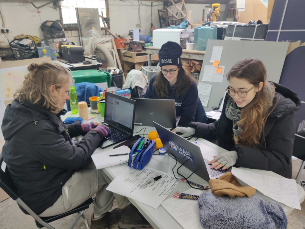
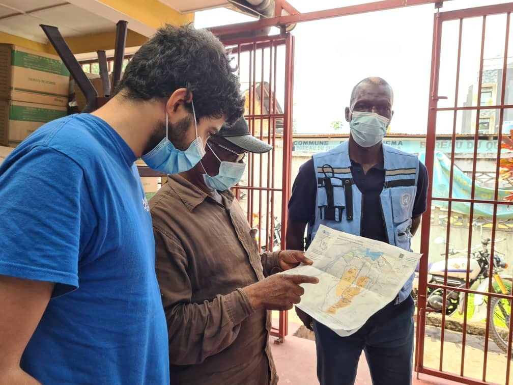
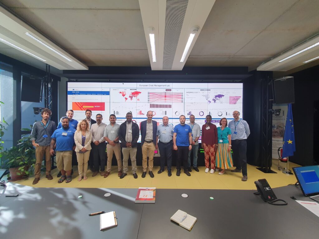
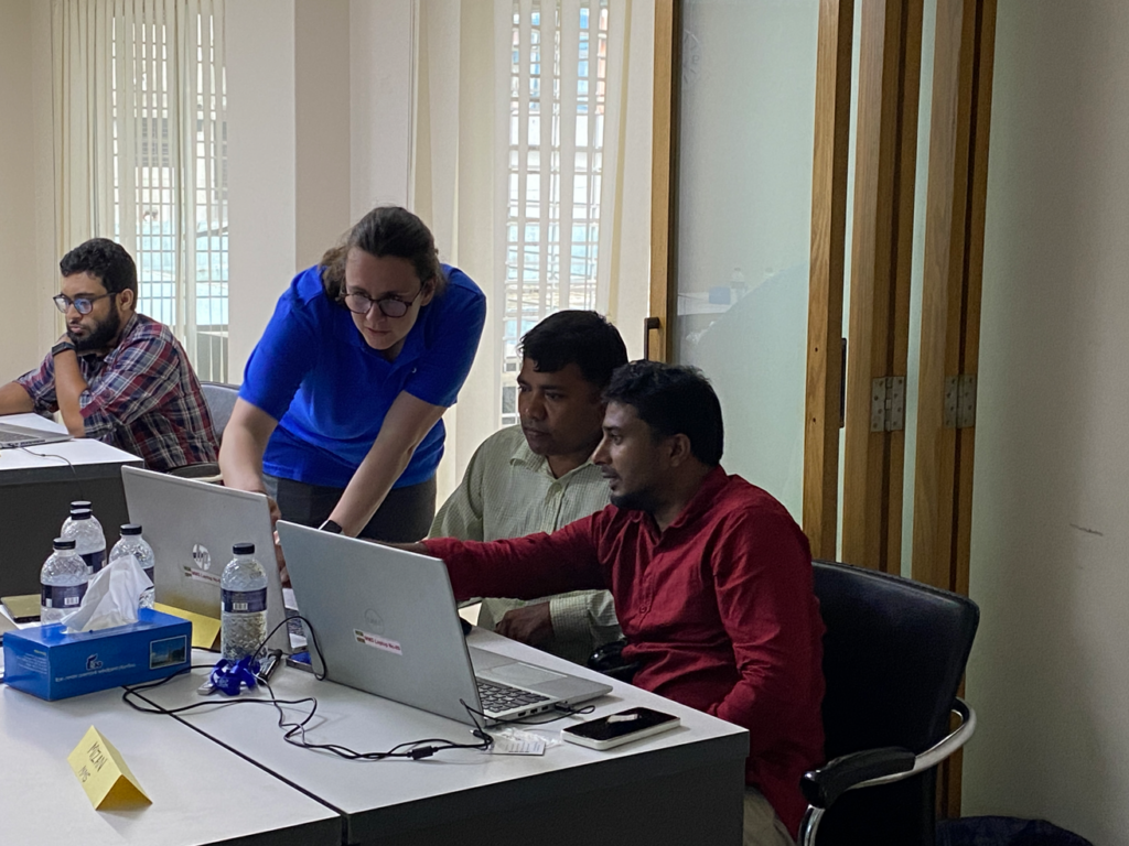
Since MapAction’s inception over 20 years ago, the charity has provided data and specialist technical geospatial and data volunteers in more than 140 crises, many climate-related, worldwide. Our team has supported responses alongside UN, regional and national agencies as well as INGOs and local civil society organisations, providing relief to some of the most vulnerable climate-exposed people worldwide. 

READ ALSO: MapAction urges wider adoption of GIS for disaster resilience at UN Expert Meeting

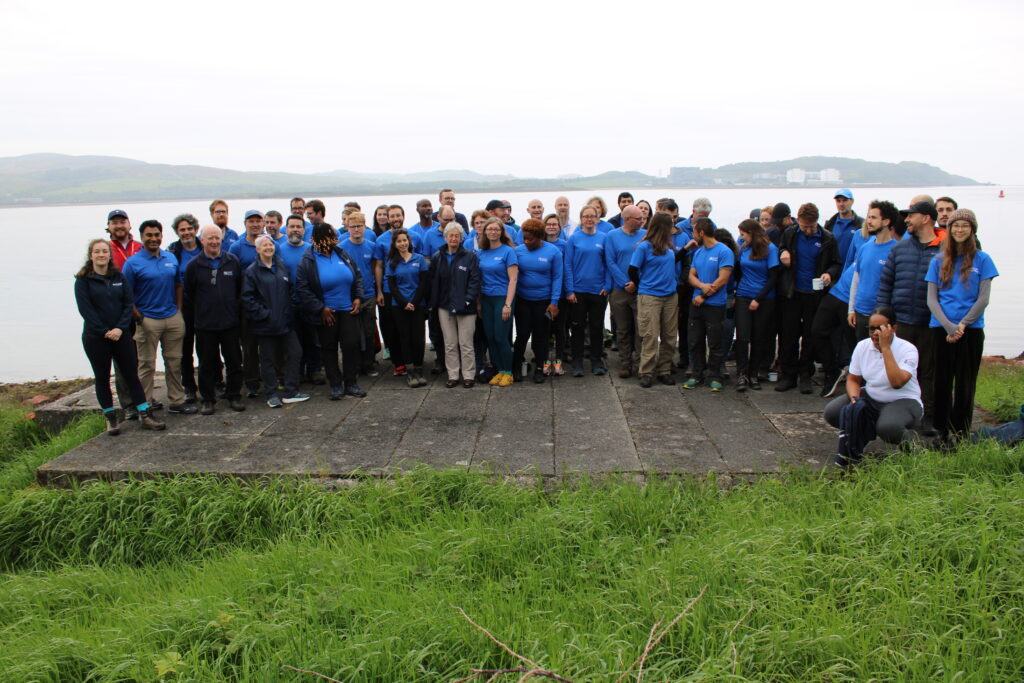
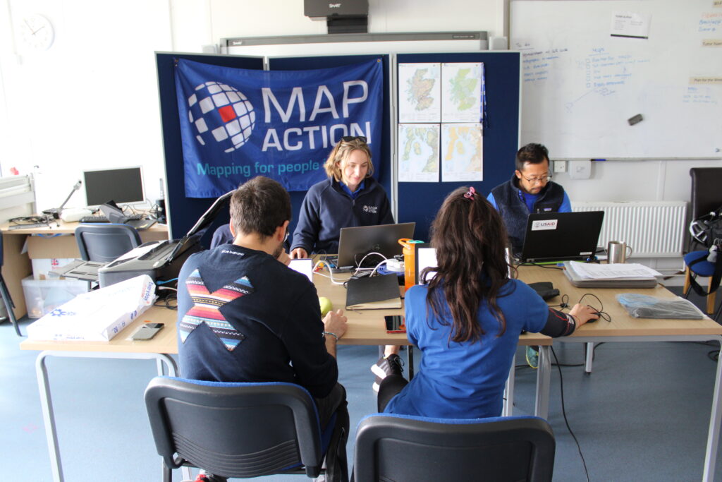
Our 70+ volunteers come from across the ever-growing range of sectors using data and geospatial technology, bringing a huge diversity of technical expertise. MapAction gives them the training, operational experience and support needed to operate effectively in humanitarian situations. 

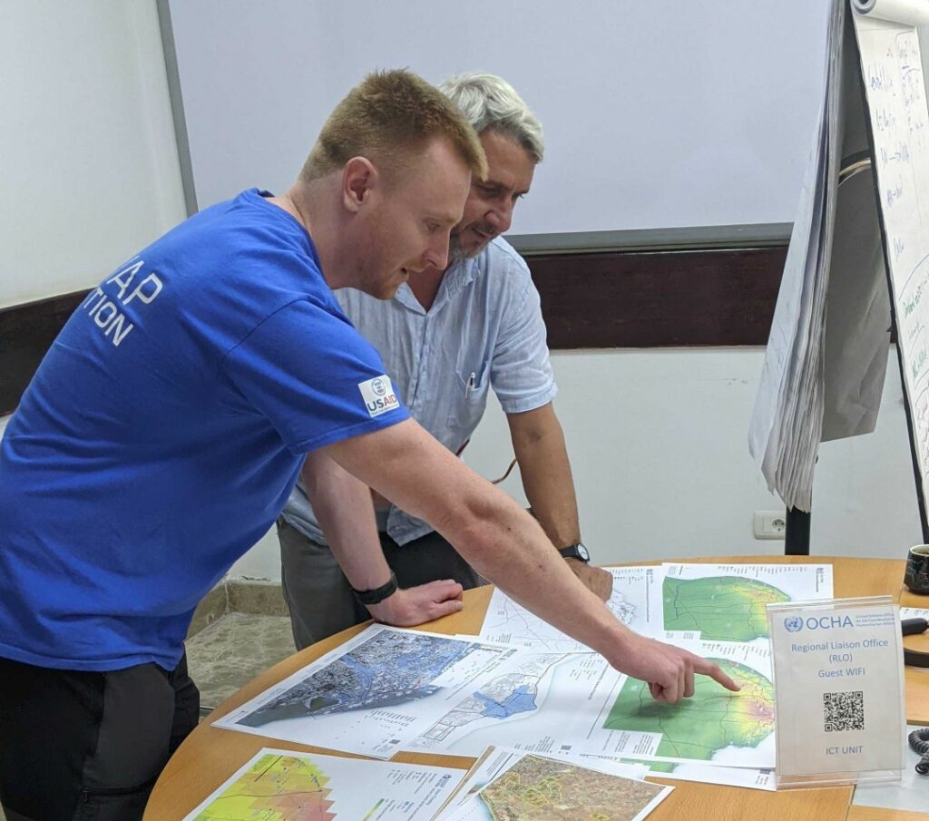
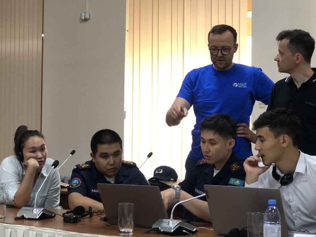
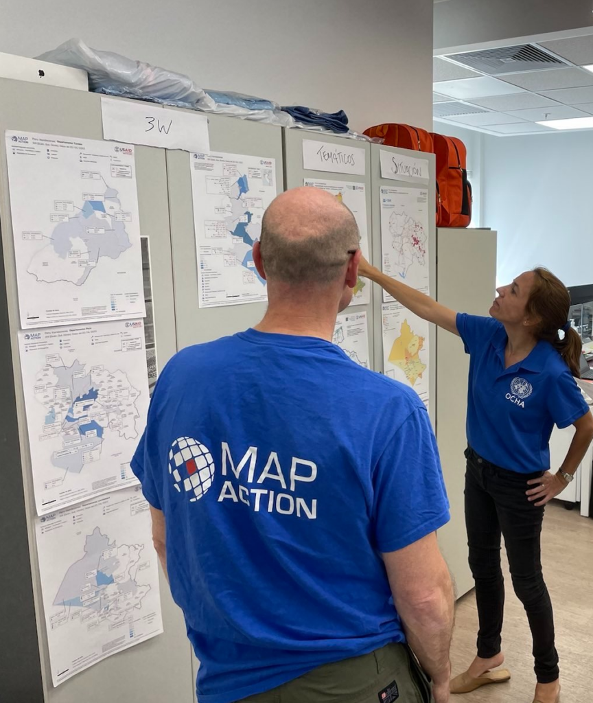
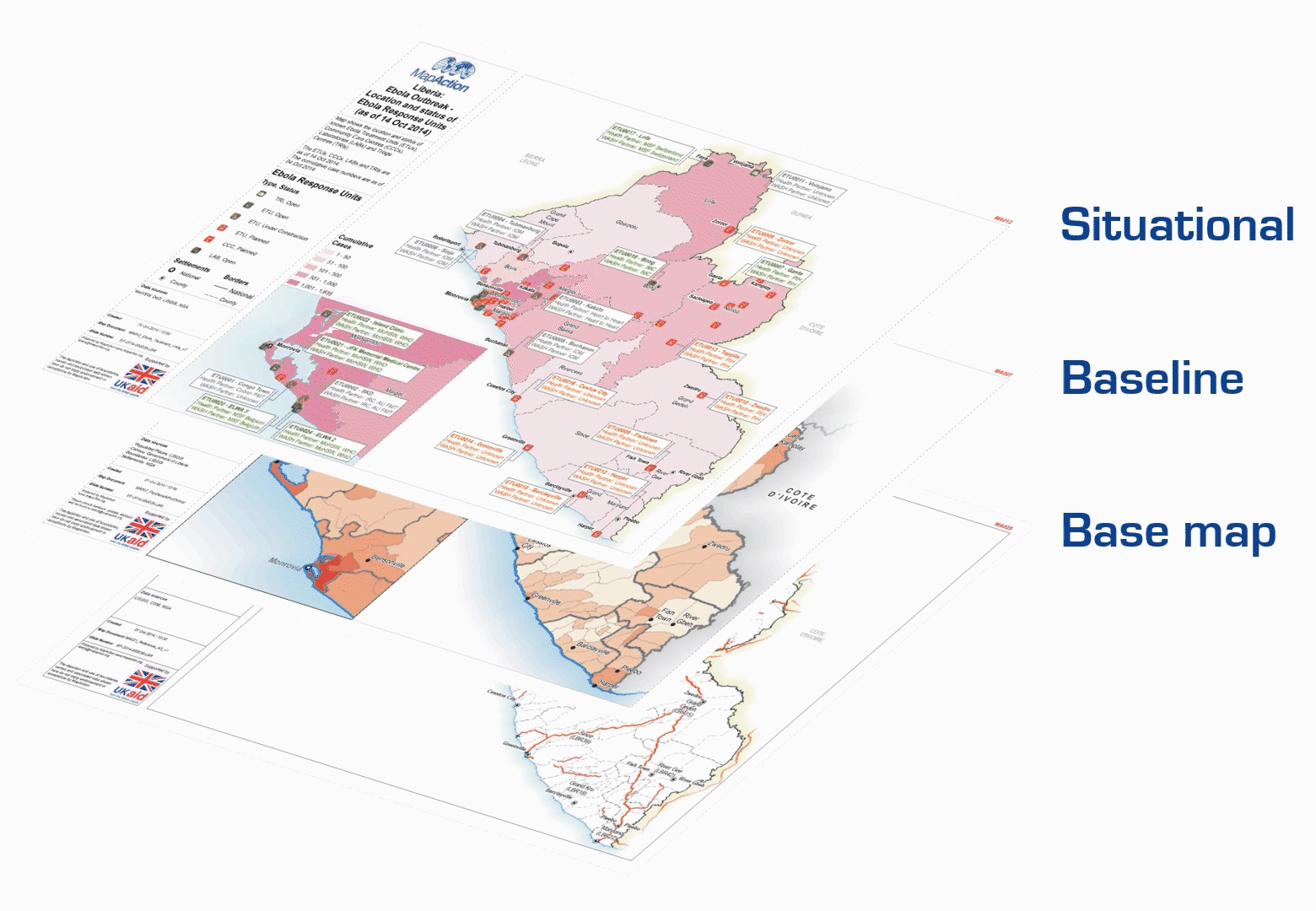
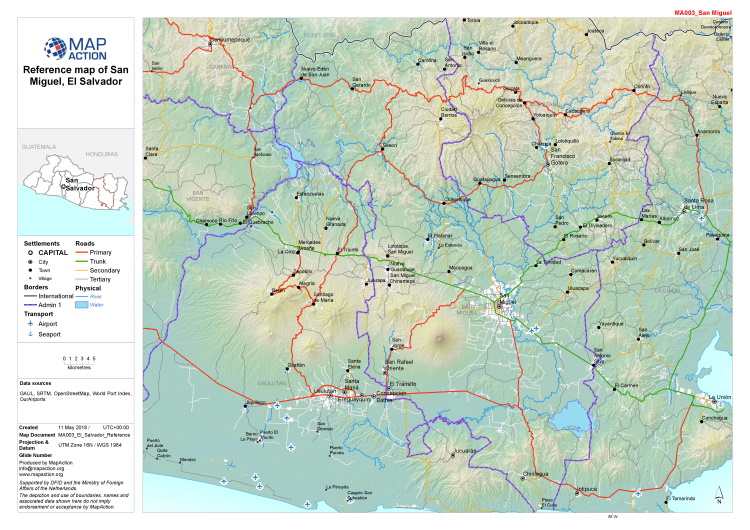
Working in collaboration with many emergency relief partners, our teams create unique situation maps, data visualisations, data sets and other products that help coordinate disaster relief using the best available information in the most insightful ways. The improved decisions they enable can help mitigate, for example, the impact of droughts, floods, hurricanes, earthquakes, famines and health crises, to save lives and protect communities. In 2023 alone, MapAction has provided data products, volunteer mapping teams or experts to support emergency response, anticipatory action programmes or capacity building in a dozen countries in five continents.

READ ALSO: MapAction continues to strengthen global disaster preparedness in summer of 2023

From response to anticipation

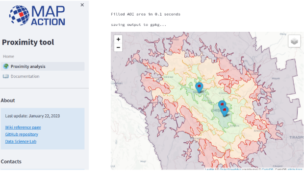
While MapAction’s initial expertise was in support of emergency response, our work is increasingly moving into early warning and preparedness. Anthropogenic climate change has been proven to alter both the likelihood and the severity of extreme weather events around the world, and the growing frequency of these can be predicted, if not precisely then generally. Being ready to spot the indicators, triggering early support for anticipatory action can be life-saving. Predictive analytics can allow us to define the mechanisms that trigger these actions by analysing current and historical data and developing models, as long as the data is reliable.

READ ALSO: Why we must address the gender gap in humanitarian data

“It is more important than ever to be able to respond effectively to such events, but also to be able to anticipate them, in order to more effectively mitigate their impact,” Daniele Castellana, former lead Data Scientist at MapAction, commented before CoP27. “Through our collaborations with the Centre for Humanitarian Data and the Start Network, MapAction has been working on this flourishing component of humanitarian aid.” MapAction launched its own InnovationHub in 2022.

READ ALSO: MapAction Data Science Lab: the story so far

Early action is one of the most effective ways to address the ever-growing climate impacts. That is why MapAction has partnered with the START Network, a coalition that focuses on humanitarian action through innovation, fast funding and early action; Insurance Development Forum is also a partner in this work. START Network brings together 55 international non-governmental organisations and 7,000 partners worldwide. MapAction is also working with INFORM to support updating forecast and risk models with select national disaster management agencies worldwide.

READ ALSO: 7 Country Missions Completed Successfully as Part of Phase 1 Programme for Anticipatory Action and Disaster Risk Reduction

From commitment to action

MapAction has made concrete commitments to actively seek solutions to reduce the impact of climate change. In October 2021, we signed the Climate and Environment Charter for Humanitarian Organisations. The charter was developed by the International Committee of the Red Cross (ICRC) and the International Federation of Red Cross and Red Crescent Societies (IFRC), and guided by a 19-person strong Advisory Committee which included representatives of local, national and international NGOs, UN agencies and National Red Cross and Red Crescent Societies, as well as academics, researchers and experts in the humanitarian, development, climate and environmental fields.

Signing that charter commits us to being a part of the solution and helping people adapt to a changing climate and environment. It will also help strengthen our own resolve and efforts to be environmentally sustainable. Most of all, it recognises that our efforts must be a collective endeavour – no organisation can tackle this alone.

Together with a growing range of partners, looking to engage ever more locally, we are using geospatial data, data visualization and data science to start laying the groundwork for climate resilience. The objective is to improve preventive actions and strategies in humanitarian response. 

Because what we map today we can mitigate tomorrow and in the future. That is why the science of how we source, analyze, shape, share and deploy data must be at the heart of all current and future discussions on adapting to climate change. 

For more info on MapAction’s work, please drop by our website

You can also follow us on Twitter, LinkedIn or Instagram

If you haven’t yet done so, please do subscribe to our newsletter to receive regular updates on our work. 

A version of this article was first published before CoP27 in Egypt in 2022. It was updated for CoP28 in November 2023.

MapAction Data Science Lab: the story so far

Since its inception MapAction has worked on leveraging technical expertise and geospatial technologies to transform humanitarian decision-making. In 2022, the ‘Data Science Lab’ became an even more integral part of MapAction’s work, adding new staff, resources and projects. 

By Daniel Soares, Head of Data Science, MapAction

The first tentative steps to establish a data science unit at MapAction began in 2020 with one staff data scientist and another volunteer working in partnership with OCHA Centre for Humanitarian Data. The team continued to grow and on a summer night in 2022, the Data Science Lab was officially born. Eighteen months later the team has grown: we now have two staff members and six data science volunteers. Four more are set to join in 2024. This is, of course, without counting our many GIS volunteers with advanced data skills working as data scientists or similar roles in their prestigious day jobs.

READ MORE: A year of collaboration with the Centre for Humanitarian Data

Carola Martens, data science volunteer, taking part in an earthquake simulation to test her deployment capabilities together with geospatial volunteers Fiona Hardie and Claudia Offner. Photo: Daniel Soares

Data projects supporting disaster response 

“At the Global Facility for Disaster Reduction and Recovery (World Bank), I specialise in developing tools for assessing the impacts of natural disasters in various settings. Having joined MapAction I’ve found that it complements this work as it offers me the opportunity to apply my expertise in a different context, where I can contribute both to long-term planning and to direct emergency response.”

Nadia Leonova, MapAction data science volunteer

In the last 18 months our volunteers have done some impressive work, not only on tool development, but on missions leading workshops, as well as supporting our GIS team with disaster response. Below are some examples of tools and projects we’ve been working on.

Rapid flood mapping

The goal of our rapid flood mapping from satellite imagery is to create a tool that is able to estimate flood extents during emergencies using radar satellite imagery. The tool was created by two of our data science volunteers, with Cate Seale developing a Python package that contains all the necessary methods whilst Piet Gerrits worked on equipping the tool with a simple graphical interface. The approach is based on a UN SPIDER tutorial, built using Google Earth Engine. The entire code is naturally open-source and available on GitHUB (GitHub – mapaction/flood-mapping-tool).

Former volunteer and current MapAction Head of Data Science Daniel Soares (left) during the MapAction response to the 2022 Kinshasa floods (DRC) together with an UNDAC team member and a local expert. Photo: MapAction.

READ MORE: MapAction team deploys to Democratic Republic of Congo (DRC) to support UN response to floods 

In 2021, MapAction engaged in a collaboration with HeiGIT (Heidelberg Institute for Geoinformation Technology): the final goal of this work is to produce tools and workflows that can constitute a resource for MapAction’s deployed or remote team members during emergency response. Our first joint project focused on assessing OpenStreetMap data quality. We’re now working to integrate these quality checks into our internal data pipeline.

READ ALSO: MapAction and HeiGIT partner to further geoinformation innovation

Proximity Tool

As part of the same collaboration with HeiGIT, we’re currently developing a Proximity Tool in order to automate road network analysis and identify remote communities and those potentially cut off during an emergency. This tool can also be used for health accessibility analysis (assessing populations not covered by health facilities within a given road distance).

First prototype of the MapAction Proximity Tool developed in collaboration with HeiGIT’s open route service.

Anticipatory action

MapAction substantially increased its anticipatory action focus in 2023. Our new anticipatory action programme kicked-off in July with GFFO funding new work on several projects geared at enhancing geospatial information management for anticipatory action decision makers. This programme will mainly focus on three areas: enabling adoption by partners through stakeholder landscaping and information management projects (ongoing work with the Philippine Disaster Resilience Foundation); implementation of subnational risk models and working around building sustainability and localisation with partners.

READ ALSO: Updates: The Anticipation Hub, The 11th Global Dialogue Platform on Anticipatory Action

The Data Science Lab is actively mainstreaming anticipatory action into its pipeline for the future. We have already started working on building an INFORM Subnational Risk Index for the Kingdom of Eswatini while scoping support for other countries. Our target is to work on four new INFORM subnational models, while updating eight more, over the next two years. We are also currently scoping and planning new projects in partnership with the UN’s Centre for Humanitarian Data around data solutions for anticipatory action. Stay tuned for more details in 2024.

Data science member Piet Gerrits and MapAction Data Visualiser Rob Baker attend an INFORM Subnational Risk training in Italy together with MapAction geospatial volunteer Leon Baruah in September 2023 ( all MapAction members are in blue t-shirts).

Want to be part of the team?

Our 2023 volunteer recruitment process is now closed but a new one will open in 2024 with opportunities for data scientists, data visualisers, data engineers, software developers and geospatial specialists.

Join our MapAction Humanitarian Data Volunteers group on LinkedIn to receive the latest updates re: recruitment or follow MapAction on Twitter, LinkedIn or Instagram.

READ MORE: MapAction looking for volunteers to unlock information management barriers in humanitarian sector

MapAction looking for volunteers to unlock information management barriers in humanitarian sector

MapAction is looking to fill six new volunteer positions with candidates who have the right skills to support work in the following fields: geospatial, development of geospatial training content, data science, data visualisation, software development and data engineering. Help MapAction and the humanitarian sector mitigate climate change and health emergencies through innovative use of software, geospatial technology and training, visualisations and data solutions.

Every day we hear news of how climate change is having devastating consequences for communities worldwide. As the effects become more clear and prominent – floods, droughts, hurricanes and natural disasters  – it is easy to feel helpless before the mitigation task at hand. 

At MapAction we are working to strengthen early warning systems, anticipatory humanitarian action, so that communities exposed to climate change and health emergencies can be more prepared and resilient. 

Frontline communities affected by a health or climate emergency depend on humanitarian agencies getting decisions right. These decisions, in turn, depend on good use of data. 

At MapAction, we are always looking for innovators who can bring their skills and experience to create data solutions that can support saving lives in humanitarian disasters. That is why we are inviting a software developer who can unlock information management barriers with innovative data solutions, a data engineer who can unlock devops challenges and review data and code hygiene issues, as well as a data scientist who can design innovative data-delivery breakthroughs for humanitarian agencies and partners. The geospatial volunteers will help us to continue to place the benefits of mapping and geospatial analysis at the service of humanitarians. 

Data scientist and data visualiser

The data scientist performs statistical analysis of geospatial data and helps us create data visualisations and dashboards. They review literature, collaborate with partners and help design and provide internal and external training. The data visualiser, on the other hand, will maintain the highest standards for visual communication, produce and test reports and dashboards, as well as charts and infographics. Each of these roles will work closely with the others. 

IN IMAGES: MapAction conducts simulated volcanic eruption response exercise on Isle of Cumbrae

Each role, however, is designed to streamline the work MapAction does: delivering a more efficient and data-driven humanitarian operations field, to support decision-makers in getting it right, so that lives are not needlessly lost or negatively affected. For a data engineer this might mean running a prototype environment to review how MapAction integrates software projects alongside mapping/data projects. It might mean cleaning script redevelopment – code hygiene – or deploying source controlled python scripts into a project workspace. For a data scientist, it might mean working with a software engineer or a specific disaster model or a tool to support early warning or relief decisions. Data and software engineers will also review coding standards and guidelines. 

Geospatial specialists

For a geospatial volunteer, it might be one map that opens up a huge aid solution or unlocks critical early funding for a CSO or humanitarian resilience network. In 2023 alone, our geospatial volunteers have responded to major crises alongside the UN in Turkiye, Libya, Kosovo and Peru. As a geospatial training content developer, you might engage in any number of activities: from providing support to CSOs in Southeast Asia or Southern Africa, to working with regional partners like the Caribbean Disaster Emergency Management Agency (CDEMA) or developing simulation for specific disasters, such as hurricanes. 

Many of these roles will entail opportunities to travel and work with some of the world’s leading humanitarian organisations: from the UN, WHO or WFP, to regional disaster response coordinators in four continents. 

READ ALSO: MapAction disaster mapping volunteers supporting UN on response to floods in Libya

Working closely with MapAction’s inhouse tech and geospatial departments – which include software engineers and data scientists –  as well as the UN’s Centre for Humanitarian Data in the Hague and other global partners, whoever fills these roles will get the opportunity to develop software, maps, training programmes, visualisations and data solutions that will broadly impact the humanitarian sector, as well as regional and national disaster relief agencies. These will pave the way for long-term impact and resilience. Working closely with national disaster agencies through the Start Network and INFORM, our innovation and tech team review national disaster models and preparedness worldwide, with a frontrow seat to enact sustainable change.

It is an opportunity for people with the right tech skills to see how the wider humanitarian system operates from the inside and where data and geospatial solutions play a role:  a front row seat to understand global trends and pressures driving world events and their consequences on people

Volunteers also provide vital support to UN agencies and other partners in emergency operations centres worldwide, both in-person and remotely. MapAction has been involved in more than 140 emergency responses worldwide in the last 20 years. 


Like what you’ve read and want to get involved? Please click here to see the full list of roles and to apply.

This work is made possible with funds from USAID’s Bureau of Humanitarian Assistance (BHA)

Deepening the impact and effectiveness of humanitarian information

MapAction has begun an important and exciting programme of work funded by the U.S. Agency for International Development’s Bureau for Humanitarian Assistance (USAID BHA)USAID logo

The new grant, aimed at strengthening the sector, runs from 2021-2024. It will see MapAction working with local, regional and international organisations to ensure that Geographic Information Systems (GIS) and information management processes are at the heart of humanitarian operations, including preparedness, anticipatory action and emergency response activities. 

This work builds on the achievements of a previous BHA-funded programme that took place from 2017-2021, which helped improve the use of GIS and spatial analysis across the humanitarian response sector through preparedness work and training with key partners.

Specifically, the new fund will help us to address the key data and information management gaps at regional and national levels, as well as working with Civil Society Organisations (CSOs) and urban authorities at the local level. This will enable us to build on localisation initiatives and establish context-appropriate surge capacity.

It will also allow us to continue our work to develop best practice for managing information in humanitarian contexts and enhancing the policy environment. 

It will be implemented by MapAction’s team of experienced and highly skilled staff and volunteers who will work closely with partner organisations to build on the relationships and foundations we have already established and develop new relationships with regional and national partners.

Our experience, skills and expertise, including in data science, means that we are uniquely placed to build on and share what works well in humanitarian information management, combined with the latest thinking in key areas related to data quality and preparedness.

By applying the best geospatial technologies to humanitarian problems, partner organisations can gain critical insights, enabling them to multiply their effectiveness.

Ultimately, this fund will mean that decision makers are better informed so they can more effectively anticipate, prepare for and respond to emergencies.

Volunteer intake boosts skills and capacity

2021 volunteer intake - four new volunteers with Mapction T-shirts smile at the camera in an office with a map behind them.
From left: Chris Tilt, Cate Seale, Piet Gerrits and Yolanda Vazquez

MapAction’s work is built around the skills and dedication of its volunteers. They work in numerous different fields in their day jobs and join us to undertake emergency and planned assignments both around the world and remotely. 

This year, after a careful selection process, we are delighted to welcome two data scientists, a data engineer and a GIS expert onboard. They will help us to broaden and diversify our skill base and increase our analytical capacity. 

We are now beginning the process of equipping the new intake with additional knowledge and competences they’ll need to function effectively in humanitarian contexts.

Chris Tilt (Data engineer)

My background is software development, primarily with .NET.  I find building software fun when it helps people or when it solves an interesting problem. 

Having not worked in this sector previously, for me the learning curve may be steep to begin with.  However, joining MapAction is an opportunity that’s hard to find.  There are many interesting people here and the work speaks for itself, so I’m looking forward to getting involved!

Outside of work or my interest in tech, I’m an avid runner, and enjoy learning new things, civilised arguments about politics and Scandinavian crime thrillers. 

Cate Seale (Data scientist)

I was always torn between the academic and creative. Mapping and data science allows me to do both. I like thinking about the art of the possible, and figuring out and implementing algorithms. But also making design decisions on how to communicate that information in graphs and maps.

I love the idea of people with different skills all coming together to work towards common goals of rights, respect and dignity.

In my spare time, I am addicted to podcasts! My current favourites are Heavyweight and 99% Invisible.

Yolanda Vazquez (GIS)

I am currently working as a Geospatial Consultant at the Satellite Applications Catapult where I am part of a team focused on International Development and Humanitarian work. I wanted to join MapAction because the humanitarian character of the organisation aligns with my personal and professional values, and because I know it is full of passionate map geeks like me who want to use their skills to help people affected by humanitarian emergencies.

What inspires me about the humanitarian sector are its principles and the work that humanitarians do to support people in need with respect and dignity, regardless of race, ethnicity, religion and social status.

In my free time, I love travelling and all things music related; playing, dancing, gigs and festivals.

Piet Gerrits (Data Scientist)

I am currently a PhD researcher at the University of Glasgow and work as a GIS technician at the University of Cambridge. I’m passionate about long-term human-environment interaction and so studied landscape archaeology. After being introduced to GIS and Remote Sensing, I made a career change to Geospatial Data Science and have worked on several research and capacity building projects in Turkey and Iraq that bring together historical data such as maps, censuses and (historical) satellite information. 

Joining Mapaction provides the opportunity to be part of a team that brings together spatial data with the purpose of making people’s lives better.

In my free time, I enjoy learning new things, travelling  and often go kayaking on the river Cam and elsewhere in the UK.

A year of collaboration with the Centre for Humanitarian Data

Headshot of Hannah Ker outdoors

By Hannah Ker, Data Scientist at MapAction

In March 2020, MapAction and the UN OCHA (Office for the Coordination of Humanitarian Affairs) Centre for Humanitarian Data embarked on a new level of collaboration by sharing a Data Scientist’s time between the two organisations. Both teams had a lot to offer and learn from each other, with MapAction bringing its geospatial expertise to the Centre’s Predictive Analytics (PA) team. Predictive analytics is a form of data science that uses current and historical facts to predict future events. For MapAction, this collaboration also constituted an important aspect of our Moonshot, which sees us transitioning from being a passive data consumer to an organisation that actively contributes to humanitarian datasets.

2020 Highlights

Looking back on our work over the past year, we can see how this collaboration has benefitted both organisations in many ways, with numerous positive repercussions more widely. Ultimately, the fruits of our joint working are examples of how data science can help to reduce suffering and save lives in humanitarian initiatives. 

Your input leap-frogged us forward. It is amazing to me how quickly we were able to do this together. A round of applause for your work and its contribution to unlocking critically needed aid for Ethiopians.

Josée Poirier, Predictive Analytics Technical Specialist, Centre for Humanitarian Data

Preventing hunger

In the latter part of the year, a MapAction team of volunteers helped the Centre’s PA team develop analysis for a drought-related anticipatory action framework which was designed to trigger mitigation activities ahead of a predicted drought crisis. The PA team aimed to better understand the reliability of various indicators used to predict potential food shortages caused by drought in Somalia and Ethiopia. These indicators were then used to trigger an early release of funds from the UN’s Central Emergency Response Fund (CERF). The MapAction team reviewed past literature, evaluated available satellite images, and created a prototype drought model in Google Earth Engine (a platform for visualising and analysing satellite imagery of Earth). These inputs helped the PA team to flag an upcoming crisis in Ethiopia and trigger an activation for a humanitarian response. In the words of Josée Poirier, Predictive Analytics Technical Specialist from the PA team: “Your input leap-frogged us forward. It is amazing to me how quickly we were able to do this together. A round of applause for your work and its contribution to unlocking critically needed aid for Ethiopians.”

Flood mapping

The MapAction and PA teams also collaborated to implement and validate an approach for mapping flooding from satellite imagery. MapAction’s Data Scientist has been working with the PA team to help evaluate the impact of recent anticipatory action in Bangladesh which took place in July 2020 and was the fastest-ever allocation of CERF funds. To better understand how this aid was helpful to those affected, the PA team needs to know exactly when, where, and for how long flooding occurred. Contributing to this work also has direct benefits for MapAction’s own work, enabling us to add a new data processing method to our disaster-response toolbox. We then had the opportunity to test this methodology in our response to the devastating impacts of Hurricanes Eta and Iota in Central America. 

MapAction was able to test the flood-mapping methodology developed with the Centre for Humanitarian Data in the response to Hurricanes Eta and Iota in Central America. Photo: European Union, 2020 (D Membreño)

COVID-19

Both organisations have made commitments to assist in the global pandemic response. The Centre PA team and MapAction Data Scientist have, in partnership with the Johns Hopkins University Applied Physics Laboratory (APL), developed a model to forecast the number of cases, hospitalisations, and deaths due to COVID-19 for six countries, tailored to each country’s specific humanitarian needs. Named OCHA-Bucky, the model offers sub-national projections, and takes into the account the effects of non-pharmaceutical interventions. Presently, MapAction is participating in a pilot project to aid vaccine rollout in vulnerable countries by surveying the current data landscapes and identify gaps in order to address the logistical challenges inherent in such tasks. Along a similar line of work, the Centre PA team and APL are planning on adding vaccination strategies to the OCHA-Bucky model. 

animation of new COVID infections model in Afghanistan
Projected total infections per 100,000 inhabitants in Afghanistan on 2020-08-03. Projections were obtained by simulating local transmission in each district in Afghanistan and expected spatial and temporal spread between districts. Country-specific risk factors were included in the simulation at the subnational level.

Shared goals

There is substantial overlap between the broad technical goals of the two organisations. The Centre’s Humanitarian Data Exchange (HDX) contains over 18,000 datasets and it has created several automatic pipelines (software that carries out a series of data-processing steps) to systematically ingest data from its partners into its database. The Centre’s technical expertise has so far been a key input into the planning and development of a similar (albeit smaller scale) pipeline at MapAction, which is being created to automate the generation of core maps as part of the Moonshot initiative. This work will ensure that base maps essential for coordinating any type of humanitarian response are immediately available whenever they are needed. 

The two organisations share similar data access platforms and are actively engaged in ongoing discussions regarding different ways to construct pipeline software. Finally, both HDX and MapAction ultimately seek to identify and rectify gaps in the humanitarian data landscape in order to ensure that those coordinating the preparations for and responses to different types of emergencies have the reliable, timely information they need. 

Looking ahead in 2021

MapAction and the Centre for Humanitarian Data are continuing to plan ways to collaborate throughout the rest of the year and beyond. 

In addition to sharing expertise in advanced analytics, we are working to make data-driven methods accessible to wider audiences in the humanitarian sector in order to improve the effectiveness of aid programmes. MapAction and the Centre’s Data Literacy team have identified an opportunity to come together to develop GIS training material. This work aims to help non-technical humanitarians make better use of geospatial data to understand the needs of affected communities and coordinate aid. 

Both teams are also collaborating to ensure that our data science workflows and models are published openly and can be used by others in the field. Inspired by initiatives such as The Turing Way, we are formalising and adopting best practices to write high quality code, document methodologies, and reproduce results. 

German Humanitarian Assistance logo

At the end of the first year of our collaboration, it is gratifying to reflect on how much we have been able to achieve together while learning from each other and expanding our collective knowledge. We’re grateful to the German Federal Foreign Office for making this work possible by funding our Data Scientist role. We’re looking forward to continuing to work together to push forward the boundaries of humanitarian data science.

MapAction welcomes six new volunteers

It takes a special kind of person to join MapAction’s band of very dedicated and highly skilled volunteers. Following a competitive recruitment process, six new faces have joined our team, expanding our capacity to provide knowledge and practical support to organisations around the world preparing for and responding to different types of emergencies.

The new recruits each bring valuable skills and experience in either GIS, software development or data science, as well as the special mix of passion, team spirit and professionalism that are prerequisite qualities for MapAction volunteers. They will now begin a rigorous induction and training programme which will equip them with the knowledge they need to apply their expertise in different types of humanitarian contexts. Here’s a little bit about our new colleagues:

Gemma with her hand on a colourful statue of a leaping dolphin on a sunny day. She is smiling to camera.

Dr Gemma Davies – Straight after finishing her MSc in Geographic Information for Development, Gemma started working at Lancaster University providing GIS support for what is now the Lancaster Environment Centre. Over twenty years, the role has evolved and equipped her with a wide range of skills in applied GIS. As well as teaching, she has been involved in researching numerous topics including climate change, epidemiology and food security, culminating in the completion of her PhD by Published Works in 2019. When not absorbed in the world of GIS she loves to travel, swim and play saxophone.

“I am most looking forward to being part of a team of like minded people, using their professional skills to make a positive difference in the lives of people affected by humanitarian crises.” – Gemma

Daniel on a sunny mountain top wearing a backpack and smiling to camera. Another climber is visible in the background also looking to the camera.

Daniel Soares – With an academic background in applied mathematics and mechanical engineering, Daniel is a data scientist at data and deep tech company nam.R where he works mainly with geospatial data applied to energy efficiency projects. He is greatly interested in the application of technical skills to humanitarian, social and ecological challenges. In his free time he loves to listen to all kinds of music, including jazz, heavy metal and Latin, and plays percussion in a group.

“My favourite thing about applied mathematics to engineering problems is the diversity of fields my skills can be applied.” – Daniel

Samir Gandhi – Although he recently took the plunge into a data analysis role at the UK government’s Department for Environment, Food and Rural Affairs, Sam’s heart is really in maps. He moonlights as The Jolly Geo, hosting quizzes, freelancing and blogging about fun geo stuff like camera trapping and solargaphy. He is also keen on tennis, karting, trail running and football and is a big Leeds fan.

“GIS is a powerful blend of art and science. I could (and do) stare at my outputs for hours! I’m looking forward to being part of a community of like-minded people, just doing what we love doing. You can’t beat a geographer!” – Sam

Emma Hall and her dog Woody each standing on a tree stump on a sunny Austrian mountainside, looking to camera.

Emma Hall – Emma began her career as a GIS specialist working in local government before moving to the world’s first green energy company and then entering academia where she taught GIS and used it in her conservation-based research. She is an environmental advocate, with a passion for conservation ecology. She is currently conducting doctoral research at Kingston University London, using predictive modelling to assess plant species’ adaptations to climate change in Madagascar. When not working or volunteering, you’ll find her hiking, wild swimming, or cycling in the mountains, with her rescue dog, Woody.

“One of my favourite GIS tools is Global Forest Watch because it combines GIS and spatial analysis in an accessible way so that anyone can use it to support the protection of our global forest ecosystems.” – Emma

Hugh running through a chest-deep tank of cold muddy water on a Tough Mudder type race.

Hugh Loughrey – While working in local government as a GIS technician, Hugh spotted the trend of people wanting to interact more and more with maps online, prompting him to learn more about web technologies. He’s worked in both the public and private sectors in the UK and New Zealand automating complex data processes and is currently a software engineer for an online estate agency. Originally from Belfast, Hugh lives in Birmingham with his wife and two young daughters. He plans to complete the Breca Loch Lomond Swimrun in August 2021.

“The news is regularly full of reports of humanitarian disasters around the world and I wanted to use the skills gained throughout my career as a GIS analyst turned software developer to help MapAction assist in as many as possible.” – Hugh

Head and shoulders shot of Felix Fennell smiling to camera

Felix Fennell – With a background in geography, Felix is a geospatial developer in the mapping team at the British Antarctic Survey. He is interested in data discoverability, automation, data processing and building tools and services for location tracking, situational awareness and planning in Antarctica. He’s been involved with MapAction partner Missing Maps for a few years and is looking forward to deepening his contributions to humanitarian work. He enjoys hiking, challenging his fear of heights and mostly losing at board games.

I enjoy saving people time, either by automating routine or complex tasks or building things that are intuitive and easy to use. The broad range of projects and expertise within MapAction is really exciting and interesting, if a little daunting at this point. – Felix

What does ‘Data’ mean to MapAction?

What is MapAction’s ‘humanitarian data landscape?’ At MapAction, we’re working to put data at the centre of how we provide products and services to the humanitarian sector. MapAction’s data scientist, Monica Turner, recently posted  about the work she does in this new role. However, data is a big (and sometimes loaded) term. So what does ‘data’ mean to MapAction? We asked Hannah Ker, MapAction’s Data Scientist whilst Monica is on maternity leave, to explain. 

During a humanitarian crisis, it is vitally important for responders to have information such as which areas are most affected, where vulnerable populations exist and where relevant infrastructure & services (such as healthcare facilities) are located. MapAction provides information products (such as maps) to our partners to help them address these information needs. Unsurprisingly the vast majority of data that we work with at MapAction is geospatial. We aim to use geospatial techniques, such as cartography, to make complex data rapidlly accessible to those responding to humanitarian crises.

The ‘Layers of data’ page (see diagram below) from our Example Product Catalogue provides a useful framework for thinking about how many different datasets are processed and combined into a meaningful final product.

Firstly, we can think of the data that is input to our basemap or initial reference map of a given area. This data often reflects features such as administrative boundaries, land elevation, settlements, and transportation infrastructure. Secondly, we have baseline data that provides demographic information about the area of interest, such as population numbers and numbers of schools. 

Our last data layer includes situational information that is relevant to the humanitarian context at hand. The kinds of data relevant for this layer can vary significantly depending on the circumstances. This data is also likely to be the most dynamic and temporally sensitive. For example, it may be used to show change over time as a crisis evolves.

All of this data can come from a variety of sources. The Humanitarian Data Exchange (HDX), developed and maintained by the UN OCHA Centre for Humanitarian Data, is a repository that holds over 17,000 datasets from more than 1,300 different sources. These datasets come from what we might think of as ‘authoritative’ sources of information, such as the World Bank or the World Food Programme.

In particular, MapAction frequently uses the Common Operational Datasets of Administrative Boundaries (COD-AB) that are published and maintained by the UN Office for the Coordination of Humanitarian Affairs (OCHA). It can be challenging to access complete and up-to-date administrative boundary data, so the CODs attempt to provide standardised, high quality data that can be used to support humanitarian operations.

OpenStreetMap (OSM) also provides a valuable source of geospatial data. This ‘Wikipedia of maps’ is an entirely crowdsourced map of the world. In theory, anyone, anywhere in the world (with an internet connection) can contribute to OSM. At MapAction, we use OSM as a source of data for features such as settlements and transportation infrastructure. MapAction is a partner of the Missing Maps project, hosted by OSM which seeks to crowd source the gaps in maps in available maps.

So why can’t we just use maps that already exist, like Google Maps?, one might ask. Why all these complex data layers? Why spend so much time finding data when it’s already all there?

Platforms such as Google Maps, Waze, and Apple Maps are commonly used as day-to-day navigation tools for people in many parts of the world. However, such existing tools do not provide the flexibility that is often required when managing and presenting geospatial data in humanitarian scenarios. As these tools are privately-developed, individuals and organisations do not always have the ability to manipulate or style the underlying data to suit their needs. These platforms were not created specifically for humanitarian use-cases, and so may not always include the information that meets the operational requirements of humanitarian contexts, such as locations of damaged buildings or the extent of a flood.

OSM’s Humanitarian map style, for example, shows some of the unique data styling that may be required in humanitarian contexts. Moreover, there are many parts of the world with human settlements that are not present (or poorly represented) on existing maps, as is demonstrated by efforts from organisations such as the Humanitarian OpenStreetMap Team and the Missing Maps initiative. These challenges mean that there is no existing ‘one size fits all’ mapping platform that is capable of providing and presenting all of the information that is needed in humanitarian contexts. 

Finding high quality geospatial data is an ongoing challenge for us at MapAction. Geospatial data quality is a multifaceted concept, and includes dimensions such as up-to-dateness, positional accuracy, logical consistency, and completeness. The image below, for example, shows a geometry problem that we often face with administrative boundary data. Notice the gap in the border between Chad and the Central African Republic. Lack of standardisation in this data between different countries and organisations, or out of date data can result in such misalignment. Due to the political sensitivity that is associated with boundary data, it is important to ensure that the data that we use is as accurate as possible. 

Our ongoing work around the Moonshot project seeks to develop tools that can help us to automatically detect and address quality issues such as these. Keep an eye out for future blog posts where we will address some of these technical challenges in greater detail. 

At the end of the day, we’re working to make complex situations better understood. Humanitarian crises are incredibly complex, and accordingly, can be associated with complex datasets and information. By selecting high quality datasets and visualising them in clear and accessible ways, we intend for our humanitarian partners to be able to make informed decisions and deliver effective aid to those in need. 

MapAction’s Data Scientist is funded by the German Federal Foreign Office (GFFO), but the views and opinions above do not necessarily represent those of the GFFO.

How data science can help release emergency funds before a crisis

head shot of Monica Turner smiling to camera

Although data science is still a relatively new field, its potential for the humanitarian sector is vast and ever-changing. We caught up with one of MapAction’s Data Scientists Monica Turner to discover how data science is evolving, the impact of COVID-19 on her work and how predictive modelling could see disaster funding being released before a disaster has occurred. 

Interview by Karolina Throssell, MapAction Communications Volunteer

How did you get into data science?

I have a background in Astrophysics but wanted to transition into data science, so I started volunteering with 510 global which is part of the Netherlands Red Cross. This was my first experience in the humanitarian sector, and I was immediately hooked. After working briefly as a data scientist at a technology company, I began working at MapAction in March 2020. As part of my work, I am seconded to the Centre for Humanitarian Data in the Hague, which is managed by the United Nations Office for the Coordination of Humanitarian Affairs (OCHA).

What is the role of data science at MapAction?

Even though one of MapAction’s primary products is maps, these are created by combining different data sets. So, while the explicit presence of a data scientist at the organisation is new, MapAction has fundamentally always been doing data science on some level. With this new role, the hope is to both formalise the current data science practices, and expand our analytical capability, ultimately shifting our role from data consumer to having an active role in the development and improvement of humanitarian data sets. 

As a data scientist, you often have to wear many hats – from data cleaning to model development to visualisation. With the Moonshot project, we are looking to automate the creation of seven to nine key maps for 20 countries. One of my first tasks is to design and build a pipeline that downloads, transforms, and checks the quality of all the different data sets that make up these key maps. The details of this pipeline will be the subject of a future blog post. 

How has COVID-19 impacted on your work?

One of MapAction’s strengths is the field work that we are able to do during an emergency as well as the remote support we provide. However, as COVID-19 has limited the ability to travel, the paradigm has shifted and we need to rethink how we respond to emergencies overall. In particular, we are working to expand the types of products that we offer to our partners, as the demand increases for more remote-oriented products such as web-based dashboards. 

At the Centre for Humanitarian data, in collaboration with the Johns Hopkins Applied Physics Laboratory, we’ve been developing a model relating to the spread of COVID, to help low- and middle-income countries plan their responses.

A female medic wearing a facemask takes the temperature of a smiling man before he enters a clinic
Photo: Trócaire 

One of the main challenges of modelling COVID-19 is the novelty of the disease. Since there is no historical data, model validation becomes much more challenging. Additionally, the number of cases and deaths is a crucial input to the model. With higher income countries, more testing is done so the data we need is there, however the availability and quality of this data in low- and middle-income countries poses a further hurdle. Nevertheless, even with these caveats it is still very valuable to provide low- and middle-income countries with a tailored scenario-building tool for developing their COVID response.

Where is data science heading?

Predictive analytics will play a much larger role in the future of data science. The UN is currently working on a huge project to provide funding for predictive models that will enable it to release funding from the Central Emergency Response Fund (CERF), to help communities prepare and protect themselves from disasters before they occur. After a successful pilot project in Bangladesh, we plan to extend our model validation to other types of disasters such as cholera and food insecurity.

At MapAction, the Moonshot will lead a shift towards preparedness and enable us to develop methods to assess the completeness and quality of the data going into our maps. Our hope is that with this emphasis on data analysis, we will be able to provide meaningful contributions to a wide array of humanitarian data sets. Additionally, we are hoping to build an analytics team, and will be recruiting data science volunteers in early 2021, so check our website and sign up to our newsletter to find out how you can apply. And if you can contribute in other ways to our data science work, please contact us!

MapAction’s Data Scientist is funded by the German Federal Foreign Office.

MapAction’s Moonshot – origins and ambitions

By Juan Duarte, Technical Director, and Monica Turner, Data Scientist, MapAction

Close up of left hand side of the moon
Photo: Adam Scott

History will always underscore how landing on the moon represented a significant milestone in the space race, yet what is often less spoken about is the number of technologies that might not have ever made it without space travel.

These include the all-important ability to take pictures on our phone, thanks to the technology originally created by a team at the Jet Propulsion Laboratory, and the technique used to develop diamond-hard coatings for aerospace systems that can now be found on scratch-resistant spectacles. Inventions that originally started life with a bigger purpose but have filtered down into solving some of the challenges in our everyday lives.

This brings us onto MapAction’s own Moonshot initiative – an ambitious programme of work encompassing step changes in the way we use different technologies in the course of our work. This includes things like how we triage, assign and manage the requests for support we receive, and how we can automate certain repeat activities. 

One of the first projects we are working on within the Moonshot programme will enable us to produce seven to nine key maps for 20 of the world’s most vulnerable countries automatically, using technology we’re developing that will provide benefits for many years to come. This is being funded through our partnership with the German Federal Foreign Office.

In the humanitarian sector, a perennial challenge is access to high-quality data. This need is even more acute in the chaotic aftermath of a humanitarian emergency, when data and maps are crucial to make rapid sense of the situation and plan the best response to save lives and minimise suffering. 

In the early hours of a crisis, one of the first tasks facing our team is to produce standardised ‘core’ maps that will be used throughout the response, regardless of the nature of the emergency. These provide contextual and reference information about, among other things, the local environment, population and infrastructure. Sometimes they are created under difficult on-the-ground conditions or with incomplete information. Once they are in place, they are used to create additional situation-specific maps by layering on top evolving information about the extent and impacts of the emergency and the humanitarian response.

As MapAction has made maps in hundreds of emergencies, it has become apparent that, in creating these foundational core maps, there are many repeatable, generalised tasks that could be handled much more quickly by a machine, achieving in seconds what used to take hours. This would give humanitarian decision-makers the orientation information they need immediately, and free up our specialist volunteers for actively assessing and engaging with the situation at hand and performing the mapping tasks that only humans can do. 

Moreover, by shifting the focus from reactive to proactive data sourcing and map production, we can ensure we provide the best maps possible – not just the best maps, given the time and data available and the prevailing circumstances in the midst of a humanitarian emergency. 

Many countries, particularly low and middle-income countries, are likely to have data gaps, and they are often also the countries that may have the least resilience to emergencies such as droughts or earthquakes. Identifying and addressing these data gaps in advance is a big part of the Moonshot project, and something that will have benefits for the humanitarian sector as a whole. 

Like the proverbial needle in the haystack, important data can exist within a subset of a much larger dataset and accessing it can be tricky. Finding a gap is even more difficult, as you’re looking for an unknown entity that isn’t there. The technology we’re developing for the Moonshot will help us to identify the hard-to-see data gaps and quality issues that currently exist. By discovering these, we can pinpoint what information will be needed to ensure a complete map and then work with partners around the world to proactively put in place missing data or improve what currently exists. 

The initial goal of the Moonshot is to publish 180 core maps (nine for each of the 20 vulnerable countries identified at the beginning of the project). The same processes will then be applied to other countries and, eventually, to other types of automated maps beyond these core ones. This means we will ultimately be in a position to expand our understanding and quality assessment processes for more data types. New opportunities and routes of travel are likely to emerge as the project develops.

The ambition is big, but the possibilities that will result from achieving this goal will fundamentally change the way we approach map creation in the humanitarian sector in the future.

In a series of blogs over the next few months, we will share the story of this work as it unfolds, as well as diving down deeper into specific elements of it.

COVID-19 modelling with the Centre for Humanitarian Data

Since March this year, a MapAction data scientist has been based at the Centre for Humanitarian Data in The Hague, supporting its workstream on predictive analytics. The aim of this important work is to forecast humanitarian emergencies and needs in order to trigger responses before a disaster occurs.

One of the projects the Centre’s predictive analytics team is working on, in partnership with the John Hopkins University Applied Physics Laboratory and individual country offices of the UN’s Office for the Coordination of Humanitarian Affairs (OCHA), is the development of COVID-19 modelling tailored for each country’s specific context. This seeks to predict the scale, severity and duration of the outbreak within each country, including its likely effects on particularly vulnerable groups, such as people at risk of hunger or those using solid fuel indoors for cooking.

The project is also modelling the effects of non-pharmaceutical interventions (NPIs) such as curfews, travel bans and face masks, according to what is locally viable.

The inclusion of country-specific factors, looking at projections for specific vulnerable groups as well as the general population at a sub national level, can make this work particularly helpful for governments and humanitarian organisations to inform their COVID planning.

Projected total infections per 100,000 inhabitants in Afghanistan on 2020-08-03. Projections are obtained by simulating local transmission in each district in Afghanistan and expected spatial and temporal spread between districts. Country-specific risk factors are included in the simulation at the subnational level.
German Humanitarian Assistance logo

The initial model was developed for Afghanistan and is now being extended to other priority countries including the Democratic Republic of the Congo, South Sudan and Sudan. 

We’re grateful for the support of the German Federal Foreign Office which funds MapAction’s data scientist role.