MapAction’s Head of Programme Development spoke at the UNGGIM this week, promoting the efficiencies that can be gained by effective use of geospatial services to meet the priorities of the Sendai Framework for Disaster Risk Reduction in understanding risk and vulnerability, governance, financing and especially in early warning and preparedness to respond in emergencies. The UNGGIM is the UN Committee of Experts on Global Geospatial Information Management.
The full text of Alan’s statement is as follows.
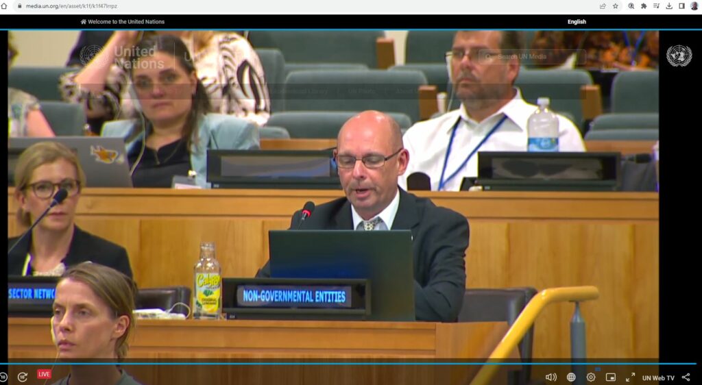
“I make this statement on behalf of the Not for Profit Organization, MapAction. MapAction notes the report of the Working Group on Geospatial Information and Services on Disaster and thanks the group for its efforts over the intersessional period.”
“We remind the Expert Committee that the Sendai Framework for Disaster Risk Reduction, adopted by 187 member states of the United Nations has seven years remaining to deliver its targets. The Sendai Framework relies on information management and mapping across its remit, to understand
disaster risk and resilience, to aid the strengthening of disaster risk governance, support investment in DRR and enhance preparedness for effective disaster response.”
“Given the increasing humanitarian demands around the globe, whether from meteorological events and climate change impacts, seismic shocks, food insecurity or displacement, the implementation of the UN-IGIF and application of the guidelines set out in the Strategic Framework of Disasters provides geospatial resource efficiencies in helping to build resilience and support the most vulnerable in our communities.”
“As resilience building is a priority for all your citizens MapAction urges more Member State delegations to actively participate in the working group in disasters, shape its workplan to be robust to address these priorities and demonstrate active implementation of IGIF and the SFD in support of disaster risk reduction.”
“Partners not just from the existing UN geospatial network, the academic network and the private sector network but also geospatial civil society organizations, including MapAction, who have no network presence within this Expert Committee, and non-geospatial practitioners in resilience building and emergency response all stand by to be consulted, provide context, technical innovation and resource to deliver on this remit once direction is given.”
Alan was also a Panellist in the UNGGIM Side Meeting – ‘Authoritative Data in an Evolving Geospatial Landscape‘, promoting the specific data needs of responders to humanitarian crises. MapAction has been a regular attendee at UNGGIM for several years, in our Official Observer Role. Over this time we have contributed to moving the agenda forwards significantly in terms of improved geospatial data availability for humanitarian purposes.