Deepening the impact and effectiveness of humanitarian information

MapAction has begun an important and exciting programme of work funded by the U.S. Agency for International Development’s Bureau for Humanitarian Assistance (USAID BHA)USAID logo

The new grant, aimed at strengthening the sector, runs from 2021-2024. It will see MapAction working with local, regional and international organisations to ensure that Geographic Information Systems (GIS) and information management processes are at the heart of humanitarian operations, including preparedness, anticipatory action and emergency response activities. 

This work builds on the achievements of a previous BHA-funded programme that took place from 2017-2021, which helped improve the use of GIS and spatial analysis across the humanitarian response sector through preparedness work and training with key partners.

Specifically, the new fund will help us to address the key data and information management gaps at regional and national levels, as well as working with Civil Society Organisations (CSOs) and urban authorities at the local level. This will enable us to build on localisation initiatives and establish context-appropriate surge capacity.

It will also allow us to continue our work to develop best practice for managing information in humanitarian contexts and enhancing the policy environment. 

It will be implemented by MapAction’s team of experienced and highly skilled staff and volunteers who will work closely with partner organisations to build on the relationships and foundations we have already established and develop new relationships with regional and national partners.

Our experience, skills and expertise, including in data science, means that we are uniquely placed to build on and share what works well in humanitarian information management, combined with the latest thinking in key areas related to data quality and preparedness.

By applying the best geospatial technologies to humanitarian problems, partner organisations can gain critical insights, enabling them to multiply their effectiveness.

Ultimately, this fund will mean that decision makers are better informed so they can more effectively anticipate, prepare for and respond to emergencies.

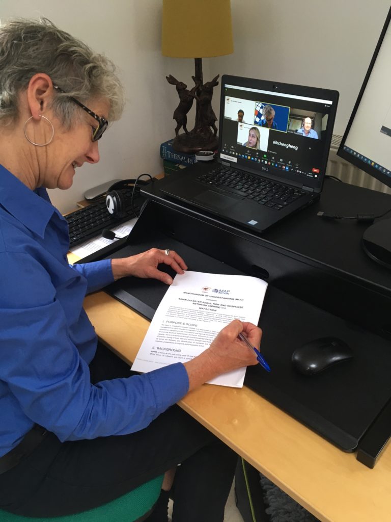
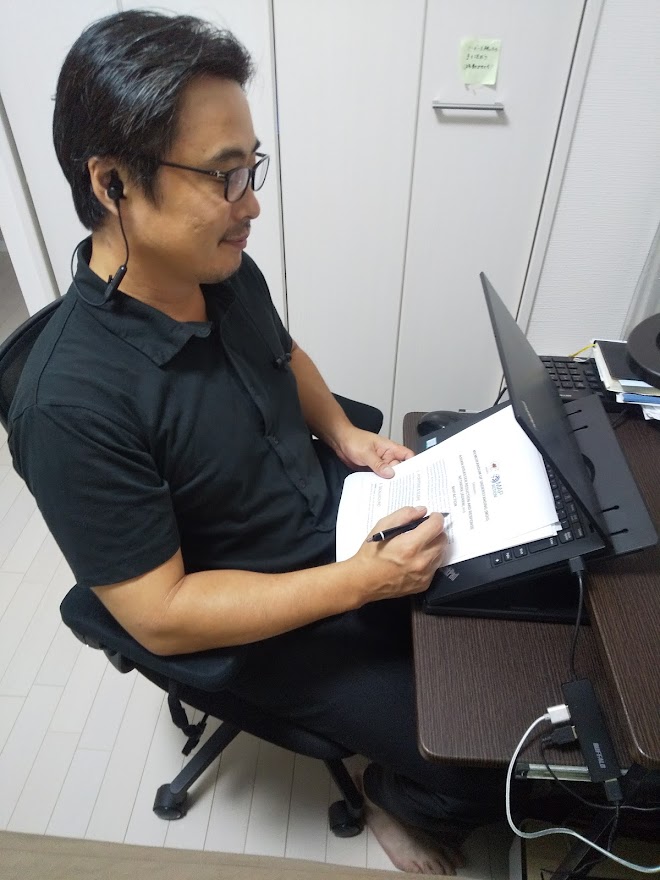
MapAction signs an MoU with the Asian Disaster Risk Reduction Network

MapAction has signed a Memorandum of Understanding (MoU) with the Asian Disaster Risk Reduction Network (ADRRN) with a view to stimulate further cooperation between the two organisations and to leverage our collective knowledge in order to better anticipate and prepare for future emergencies.

This agreement demonstrates our commitment and desire to work with in-country Civil Society Organisations (CSOs) to increase their readiness, capacity and visibility within the international humanitarian sector. 

ADRRN is a network of 46 NGOs operating in 20 countries right across the Asia Pacific region. Known as the civil society voice of Asia, it collaborates with national-level networks, global networks, regional multilateral stakeholders and UN agencies.

Together, our overall aim is to solve problems collaboratively and ensure the network has the most up-to-date knowledge and expertise in order to provide on the ground support and guidance. 

MapAction has extensive experience in Information Management in emergency situations so is already working with the network to develop and maintain a knowledge-sharing platform. This will allow members to share and access critical information, tools and tips in a secure environment, whilst boosting their efficacy and aligning their activities.

We also plan to work with members to increase data gathering, improve disaster responses and investigate how members can support anticipatory action. And to help facilitate ADRRN to attain an overview of CSO members, programmes and activities.

Longer term, we want to look into how surge capacity from international agencies and governments can integrate more seamlessly with local capacity. Along with creating an environment in which a range of tools for data collection, analysis and information sharing can support decision making for CSO’s disaster risk reduction, anticipatory action and response operations.

USAID logo
This work was made possible thanks to the generous support of the U.S. Agency for International Development Bureau for Humanitarian Affairs as part of a programme to improve cooperation in the humanitarian sector.

Contributing to excellence in emergency response

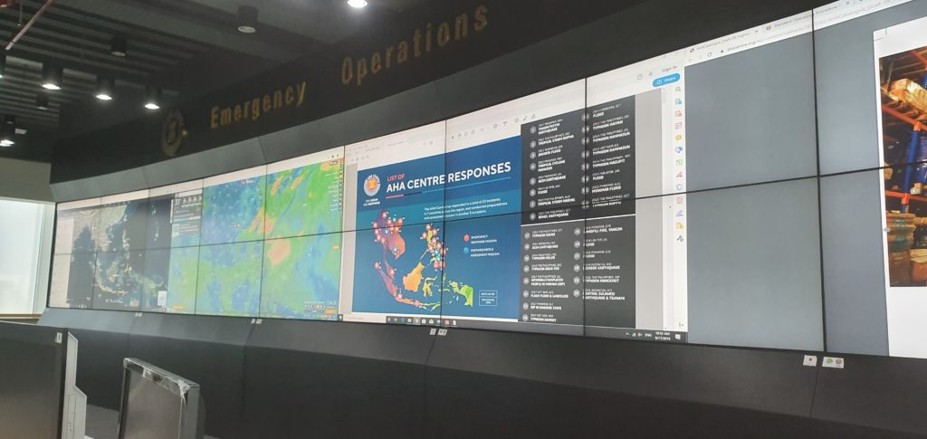
We are working with our colleagues in the Association of Southeast Asian Nations (ASEAN) Coordinating Centre for Humanitarian Assistance on Disaster Management (AHA Centre) to share valuable insights and experience, and to learn about how AHA is adapting and developing the expertise of its team.

The centre recently ran a series of virtual sessions which provided the opportunity for graduate members of ASEAN’s Emergency Response and Assessment Team (ASEAN-ERAT) the chance to hone their technical skills and consult with experts. The programme also refreshed members’ memories and enhanced their technical competencies.

MapAction ran a session on response mapping which included guided tutorials and self-paced learning on how to make use of Excel and Google Earth in an emergency. Participants learned how to use the tools and techniques quickly and efficiently in the early stages of a response and how they might also support decision makers in the response teams. These techniques were built on during the other sessions led by AHA staff on data collection and analysis, data visualisation and developing information management dashboards. The sessions were tested during a four hour online simulation exercise.

The online course was composed of eight people from across the ASEAN region including Brunei, Laos, the Philippines and Indonesia who had graduated from previous courses. 

USAID logo
This work was made possible thanks to the generous support of the U.S. Agency for International Development as part of a programme to improve the use of geospatial analysis and services across the entire humanitarian response sector.

MapAction and the AHA Centre have signed a Memorandum of Intent with each other which formalises our joint efforts to help build mapping and information management capacity among humanitarian actors in the ASEAN region, as well as helping them prepare for disasters by putting in place essential geospatial information and resources. This training forms part of this ongoing activity.

Training Caribbean disaster managers

We are proud to be supporting the delivery of an online course in crisis mapping in the Caribbean this month. The training course will involve around 50 disaster management professionals from across the Caribbean and is in partnership with the Caribbean Disaster Emergency Management Agency (CDEMA), with input from the Humanitarian OpenStreetMap Team (HOT). 

This is the second time the online course has been run, and we used our extensive deployment and training experience in the design and development of it.

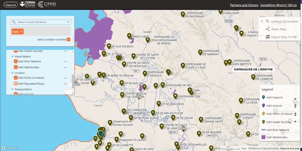
Screenshot of GeoCRIS
Screenshot of the GeoCRIS showing a map of part of Western Haiti with several map layers selected

As well as learning the principles of disaster mapping for response and resilience and OpenStreetMap data entry, the participants are practicing effective use of the GeoCRIS. This is the new regional repository for geospatial data needed for risk and hazard mapping, disaster preparedness and response operations. As MapAction was involved in setting up the GeoCRIS, we are well placed to design and deliver this training.

The month-long course also includes a disaster simulation exercise in which the students will have the opportunity to deploy their newly acquired skills in a realistic emergency scenario. Additionally, two members of MapAction’s Caribbean volunteer team who have both recently been involved in the response to the La Soufrière volcanic eruption will be running a live session to share their real-world experiences of emergency mapping in the region and answer questions.

We’re grateful to USAID’s Bureau for Humanitarian Assistance (BHA) for funding this activity as part of our ongoing programme to improve the ways in which geographical information systems (GIS), mapping and spatial analysis are used in humanitarian emergencies.