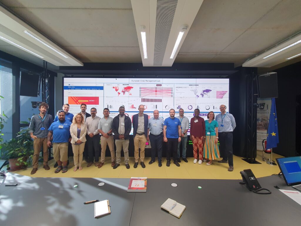
International Girls in ICT Day, celebrated every April, aims to celebrate female leadership in ICT. “Women are nearly absent from software development, engineering, technology research, academia as well as at the highest levels of policy making. They also tend to leave science and technology jobs at higher rates than men,” states the commemorative day’s UN website. MapAction is nevertheless home to dozens of women staff and volunteers who are software developers, academics, data scientists or geospatial engineers to mention but a few specialisations. We spoke with two: Head of Geospatial Services Gemma Davies and Geospatial Coordinator Charlotte Moss about their passion for geospatial technology and maps.
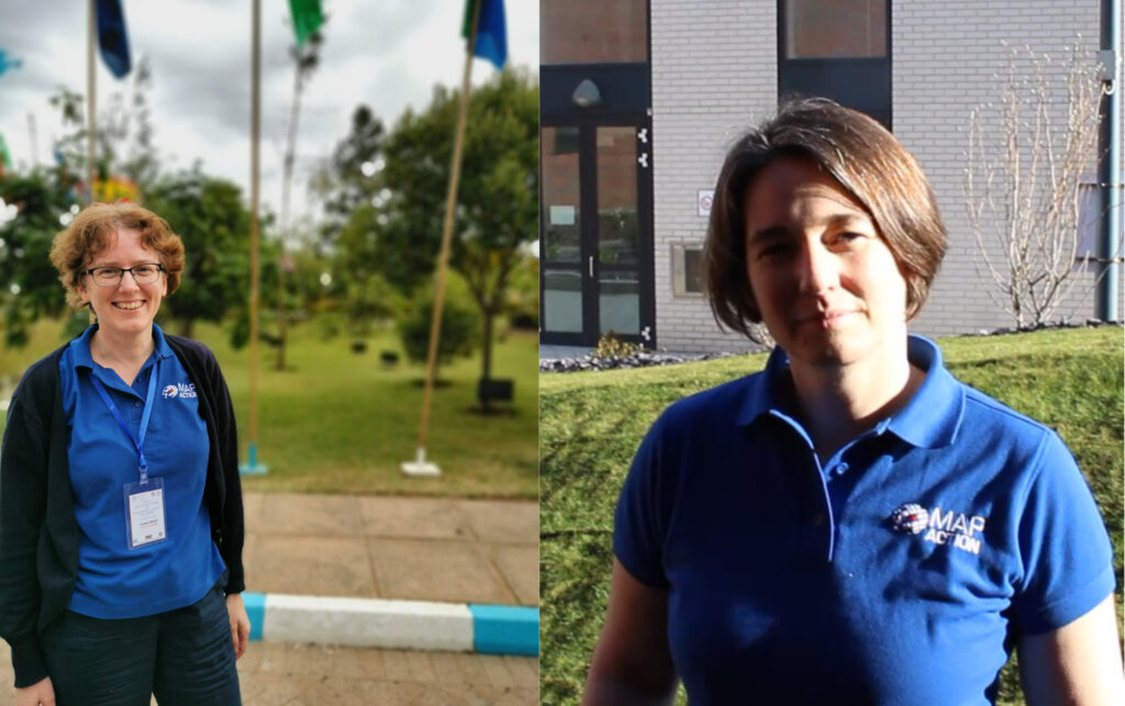
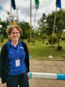
GEMMA DAVIES, HEAD OF GEOSPATIAL SERVICES
Q: What made you want to get into working with geospatial information systems?
Gemma: I’ve always loved logical problem solving and when I was first introduced to GIS at university I realised GIS was the perfect way to apply my logical analytical skills to the geography I was interested in.
Q: What is your official job title at MapAction?
Gemma: Head of Geospatial Services.
Q: What have you been working on recently?
Gemma: Most recently I have been working on improvements to our GIS training offer that will help equip people working in organisations like national disaster management agencies to make use of GIS in their work.
Q: What’s next on the horizon?
Gemma: In addition to training development, next on the horizon includes working with our innovation and technology team to automate consistent sourcing and processing of the datasets we most frequently use for emergency response.
Q: What do you like most about your job?
Gemma: The job is really varied and you get to apply GIS very practically in a way that may positively impact people’s lives.
GIS is a powerful tool that aids understanding of the world around us and enhances decision-making. Channelling this power in a way that uses the tools to benefit potentially at-risk populations is so important.
Q: Why does GIS4Good matter?
Gemma: GIS is a powerful tool that aids understanding of the world around us and enhances decision making. Channelling this power in a way that uses the tools to benefit potentially at-risk populations is so important.
Three things you love about maps.
Gemma: They provide a virtual insight into places you are yet to explore; they bring information to life in new ways and they can help inform important decision-making.
READ ALSO: She survived a volcanic eruption and helped rebuild her island afterwards. Meet Lavern Ryan, a MapAction volunteer and GIS aficionado.
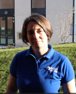
CHARLOTTE MOSS: GEOSPATIAL COORDINATOR
Q: What made you want to get into working with geospatial information systems?
Charlotte: I have always loved maps. As a child I used to spend hours drawing treasure maps. Now I get to solve actual geospatial problems using GIS software rather than pencils!
Q: What is your official job title at MapAction?
Charlotte: I work as a Geospatial Coordinator at MapAction.
As a child I used to spend hours drawing treasure maps. Now I get to solve actual geospatial problems using GIS software rather than pencils!
Q: What have you been working on recently?
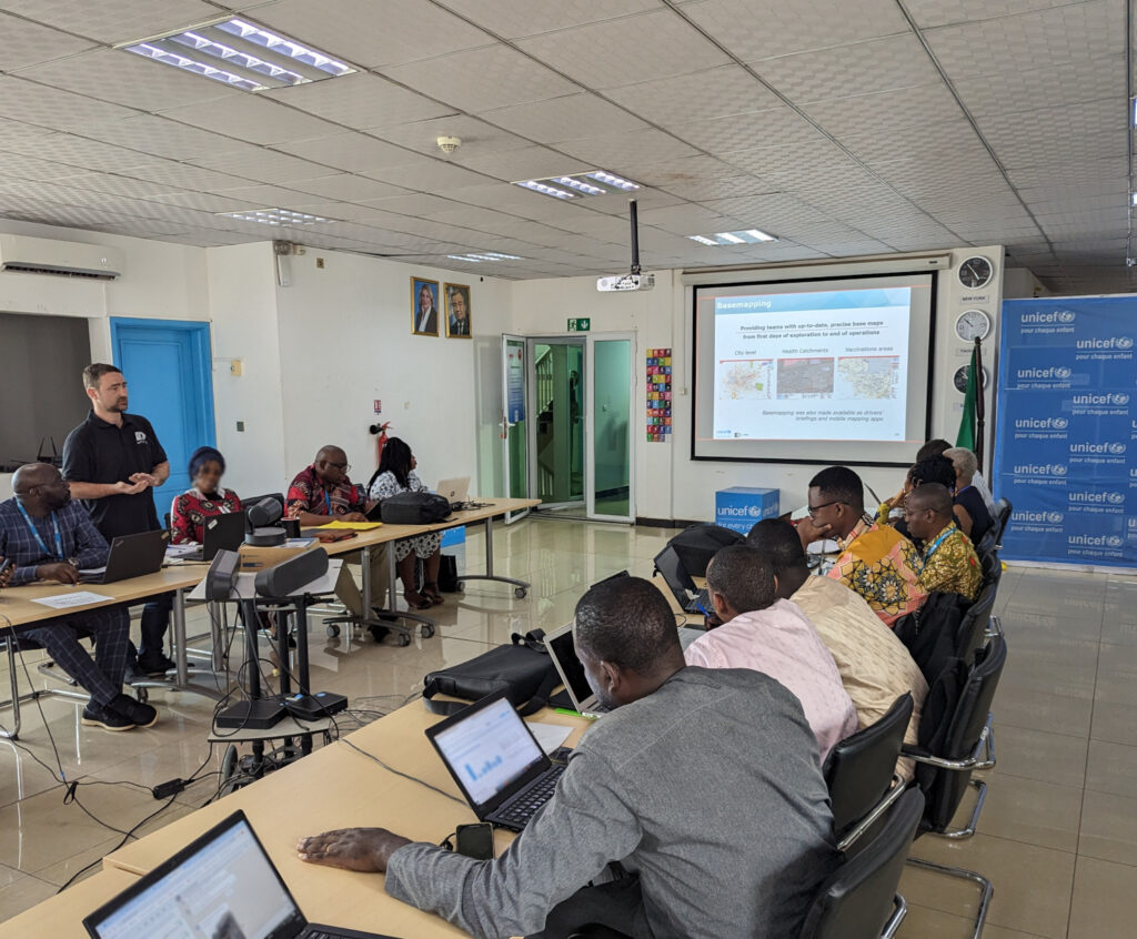
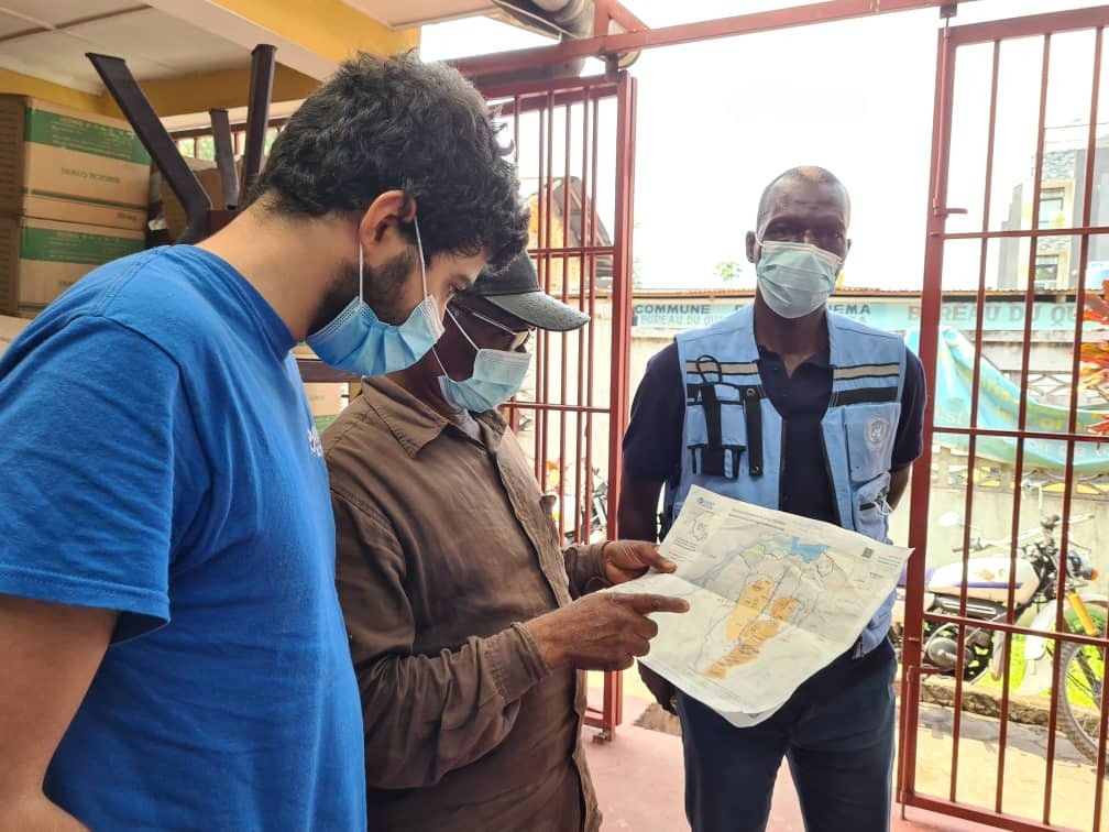
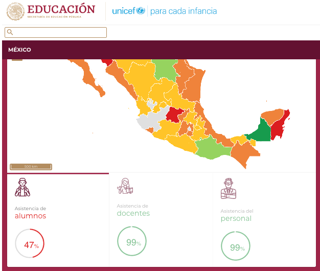
Charlotte: I work on MapAction’s health programme. We are currently working on an initiative with UNICEF and CartONG to help ministries in six West and Central African countries use geospatial techniques to assist them in providing vaccination and birth registration services.
READ ALSO: Putting children on the map in West and Central Africa through geo-spatial analysis
Q: What’s next on the horizon?
Charlotte: I’m off to Côte d’Ivoire to discuss the needs of the teams there working on the project.
Q: What do you like most about your job?
Charlotte: I get to travel and meet people from all over the world. Maps are always a fascinating way of communicating.
Q: Why does GIS4Good matter?
Charlotte: I have developed my GIS skills in other areas of work and it feels great to be able to give back what I have learnt to humanitarian projects.
Three things you love about maps.
Charlotte: The details, the number of ways you can conceptualise a problem and the colours.
LEARN MORE: What is MapAction (video)?
MapAction’s work in geospatial is funded by USAID’s Bureau for Humanitarian Assistance, the German Federal Foreign Office (GFFO), UNICEF, Calleva Foundation and other foundations, private individuals and companies. Learn more here.