Since its inception MapAction has worked on leveraging technical expertise and geospatial technologies to transform humanitarian decision-making. In 2022, the ‘Data Science Lab’ became an even more integral part of MapAction’s work, adding new staff, resources and projects.
By Daniel Soares, Head of Data Science, MapAction
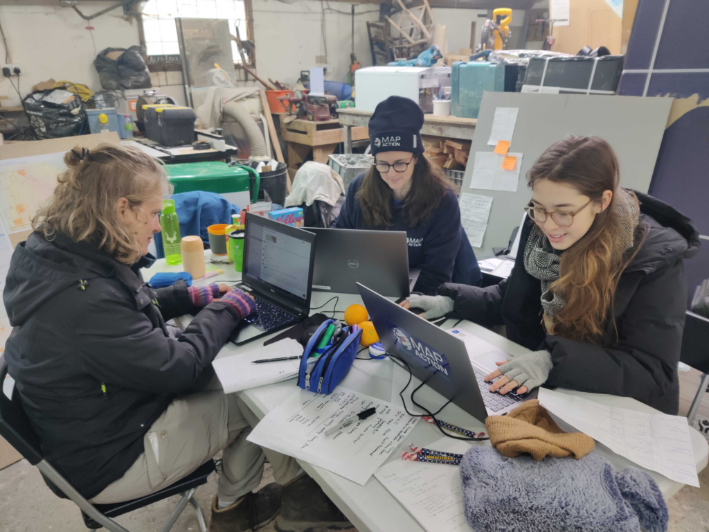
The first tentative steps to establish a data science unit at MapAction began in 2020 with one staff data scientist and another volunteer working in partnership with OCHA Centre for Humanitarian Data. The team continued to grow and on a summer night in 2022, the Data Science Lab was officially born. Eighteen months later the team has grown: we now have two staff members and six data science volunteers. Four more are set to join in 2024. This is, of course, without counting our many GIS volunteers with advanced data skills working as data scientists or similar roles in their prestigious day jobs.
READ MORE: A year of collaboration with the Centre for Humanitarian Data

Data projects supporting disaster response
“At the Global Facility for Disaster Reduction and Recovery (World Bank), I specialise in developing tools for assessing the impacts of natural disasters in various settings. Having joined MapAction I’ve found that it complements this work as it offers me the opportunity to apply my expertise in a different context, where I can contribute both to long-term planning and to direct emergency response.”
Nadia Leonova, MapAction data science volunteer
In the last 18 months our volunteers have done some impressive work, not only on tool development, but on missions leading workshops, as well as supporting our GIS team with disaster response. Below are some examples of tools and projects we’ve been working on.
Rapid flood mapping
The goal of our rapid flood mapping from satellite imagery is to create a tool that is able to estimate flood extents during emergencies using radar satellite imagery. The tool was created by two of our data science volunteers, with Cate Seale developing a Python package that contains all the necessary methods whilst Piet Gerrits worked on equipping the tool with a simple graphical interface. The approach is based on a UN SPIDER tutorial, built using Google Earth Engine. The entire code is naturally open-source and available on GitHUB (GitHub – mapaction/flood-mapping-tool).

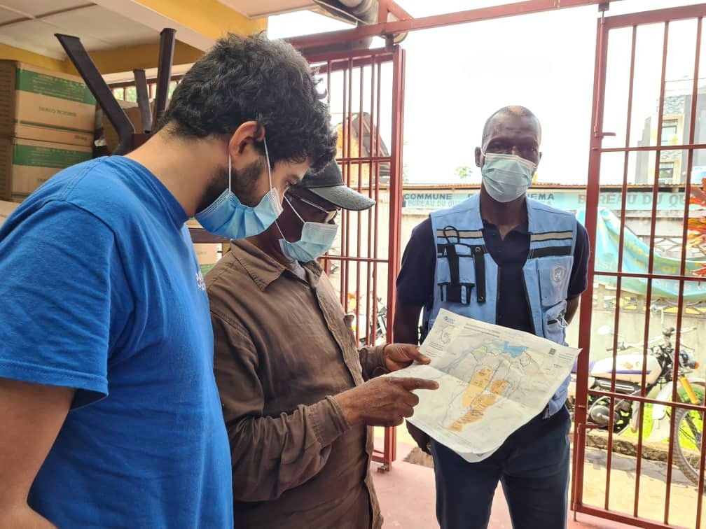
READ MORE: MapAction team deploys to Democratic Republic of Congo (DRC) to support UN response to floods
In 2021, MapAction engaged in a collaboration with HeiGIT (Heidelberg Institute for Geoinformation Technology): the final goal of this work is to produce tools and workflows that can constitute a resource for MapAction’s deployed or remote team members during emergency response. Our first joint project focused on assessing OpenStreetMap data quality. We’re now working to integrate these quality checks into our internal data pipeline.
READ ALSO: MapAction and HeiGIT partner to further geoinformation innovation
Proximity Tool
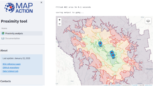
As part of the same collaboration with HeiGIT, we’re currently developing a Proximity Tool in order to automate road network analysis and identify remote communities and those potentially cut off during an emergency. This tool can also be used for health accessibility analysis (assessing populations not covered by health facilities within a given road distance).

Anticipatory action
MapAction substantially increased its anticipatory action focus in 2023. Our new anticipatory action programme kicked-off in July with GFFO funding new work on several projects geared at enhancing geospatial information management for anticipatory action decision makers. This programme will mainly focus on three areas: enabling adoption by partners through stakeholder landscaping and information management projects (ongoing work with the Philippine Disaster Resilience Foundation); implementation of subnational risk models and working around building sustainability and localisation with partners.
READ ALSO: Updates: The Anticipation Hub, The 11th Global Dialogue Platform on Anticipatory Action
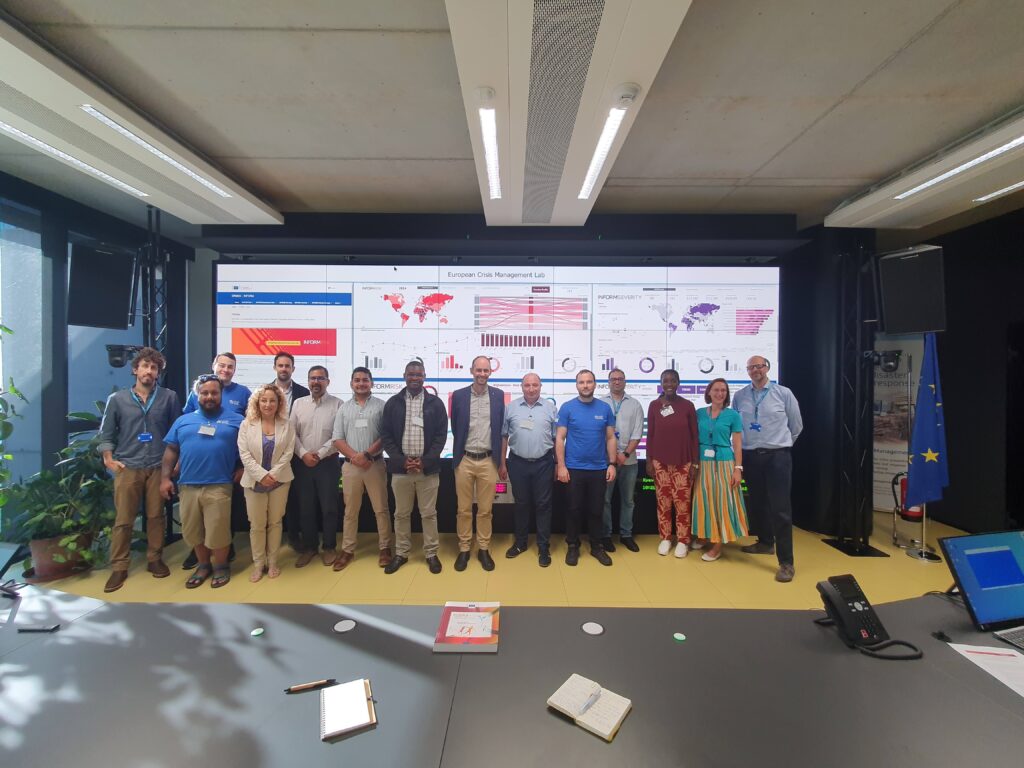
The Data Science Lab is actively mainstreaming anticipatory action into its pipeline for the future. We have already started working on building an INFORM Subnational Risk Index for the Kingdom of Eswatini while scoping support for other countries. Our target is to work on four new INFORM subnational models, while updating eight more, over the next two years. We are also currently scoping and planning new projects in partnership with the UN’s Centre for Humanitarian Data around data solutions for anticipatory action. Stay tuned for more details in 2024.

Want to be part of the team?
Our 2023 volunteer recruitment process is now closed but a new one will open in 2024 with opportunities for data scientists, data visualisers, data engineers, software developers and geospatial specialists.
Join our MapAction Humanitarian Data Volunteers group on LinkedIn to receive the latest updates re: recruitment or follow MapAction on Twitter, LinkedIn or Instagram.
READ MORE: MapAction looking for volunteers to unlock information management barriers in humanitarian sector
