Three members of MapAction, the humanitarian mapping agency, have had to cut short or postpone their Christmas plans as they drop everything to respond to the UN’s call for help in Kinshasa, DRC, to respond to deadly floods.
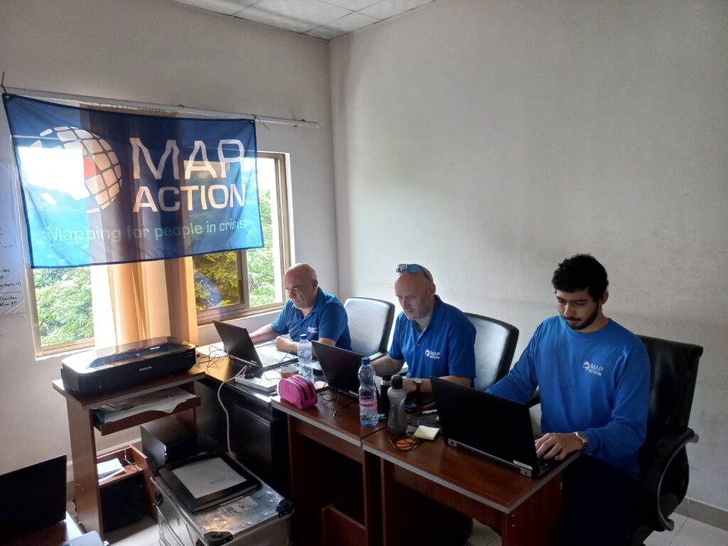
Experienced MapAction members Mark Gillick, Andrew Kesterton and Daniel Soares have deployed to DRC – initially for two weeks – to work alongside, and at the request of, the United Nations Office for Coordination of Humanitarian Affairs (UN OCHA), a long-standing MapAction partner.
Kinshasa, the capital of the Democratic Republic of Congo in southwest Africa, has experienced severe flooding caused by heavy rains. According to DRC authorities, at the time of writing, at least 169 people have died, nearly 39,000 households were flooded and at least 282 houses were destroyed, leaving many families homeless. Critical infrastructure has also been damaged or destroyed.
The United Nations Disaster Assessment & Coordination (UNDAC) team were asked to respond and they requested “long-standing partner” MapAction, the Oxfordshire-based humanitarian mapping charity, to support their initial emergency response coordination to the floods.
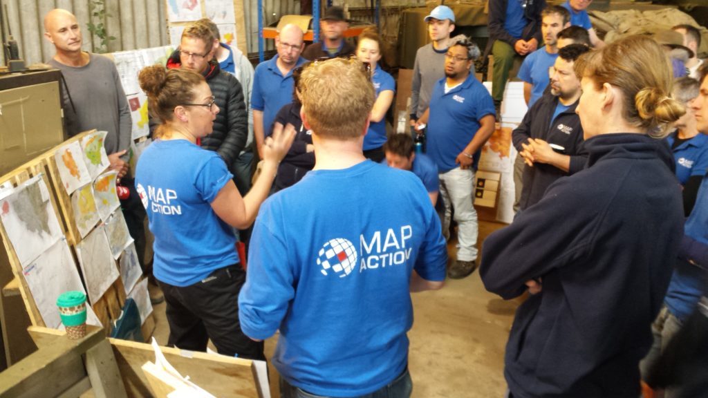
MapAction regularly sends teams to crisis-stricken areas alongside UN agencies to help ensure good data use and management in disaster response. Since 2002, MapAction has been part of approximately 130 similar emergency responses.
Our teams regularly deploy last-minute and spontaneously at the request of UN disaster relief agencies like UN OCHA and UNDAC. From the moment we receive a request for support, team members often deploy within 24 to 48 hours to the affected country to assist with management and analysis of data in response to any given emergency.
Getting good data into the hands of decision makers in the first days of any disaster relief response is vital. Access to high-quality data is fundamental in the chaotic aftermath of a humanitarian emergency, when data and maps are crucial to make rapid sense of the situation and plan the best response to save lives and minimise suffering.
In the early hours of a crisis, one of the first tasks facing our team is to produce standardised ‘core’ maps that will be used throughout the response. These provide contextual and reference information about, among other things, the local environment, population and infrastructure. Sometimes they are created under difficult on-the-ground conditions or with incomplete information. Once they are in place, they are used to create additional situation-specific maps by layering on top evolving information about the extent and impacts of the emergency and the humanitarian response.
Ready to deploy
In emergency response, every hour is critical. When floods strike, like the ones currently affecting DRC, and a UN agency requests our support, a call goes out instantly to MapAction volunteers to see who is available. Backroom support at MapAction will already have begun: tickets, visas, insurance and other logistics will be reviewed and finalised; software and hardware tested and customized for the situation. Equipment will be streamlined according to mission-aligned criteria, such as a country’s specific voltage, plug type and satellite phone coverage. Our geospatial department will begin to produce maps from the moment the news is reported. Dialogue between internal departments and with external partners will be continuous.
As the DRC-bound team works in-country alongside UN agencies, the wider MapAction team has already started collating and publishing key datasets for the affected area.