MapAction looking for volunteers to unlock information management barriers in humanitarian sector

MapAction is looking to fill six new volunteer positions with candidates who have the right skills to support work in the following fields: geospatial, development of geospatial training content, data science, data visualisation, software development and data engineering. Help MapAction and the humanitarian sector mitigate climate change and health emergencies through innovative use of software, geospatial technology and training, visualisations and data solutions.
Every day we hear news of how climate change is having devastating consequences for communities worldwide. As the effects become more clear and prominent – floods, droughts, hurricanes and natural disasters  – it is easy to feel helpless before the mitigation task at hand. 

At MapAction we are working to strengthen early warning systems, anticipatory humanitarian action, so that communities exposed to climate change and health emergencies can be more prepared and resilient. 

Frontline communities affected by a health or climate emergency depend on humanitarian agencies getting decisions right. These decisions, in turn, depend on good use of data. 

At MapAction, we are always looking for innovators who can bring their skills and experience to create data solutions that can support saving lives in humanitarian disasters. That is why we are inviting a software developer who can unlock information management barriers with innovative data solutions, a data engineer who can unlock devops challenges and review data and code hygiene issues, as well as a data scientist who can design innovative data-delivery breakthroughs for humanitarian agencies and partners. The geospatial volunteers will help us to continue to place the benefits of mapping and geospatial analysis at the service of humanitarians. 

Data scientist and data visualiser

The data scientist performs statistical analysis of geospatial data and helps us create data visualisations and dashboards. They review literature, collaborate with partners and help design and provide internal and external training. The data visualiser, on the other hand, will maintain the highest standards for visual communication, produce and test reports and dashboards, as well as charts and infographics. Each of these roles will work closely with the others. 

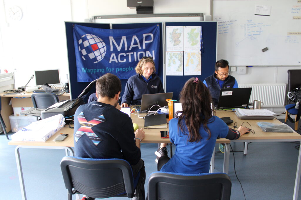
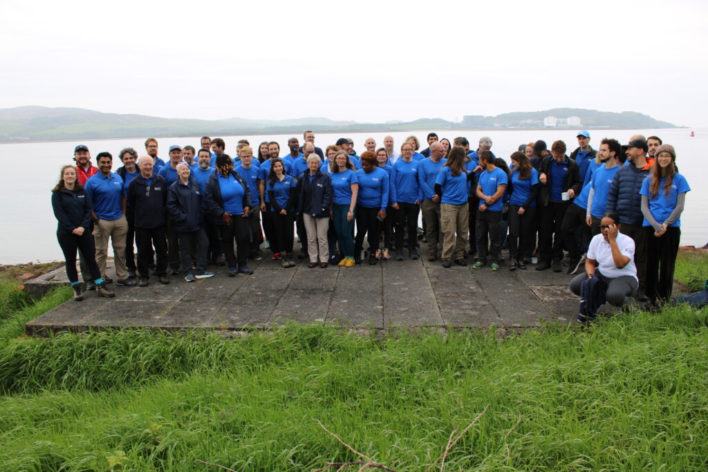
IN IMAGES: MapAction conducts simulated volcanic eruption response exercise on Isle of Cumbrae

Each role, however, is designed to streamline the work MapAction does: delivering a more efficient and data-driven humanitarian operations field, to support decision-makers in getting it right, so that lives are not needlessly lost or negatively affected. For a data engineer this might mean running a prototype environment to review how MapAction integrates software projects alongside mapping/data projects. It might mean cleaning script redevelopment – code hygiene – or deploying source controlled python scripts into a project workspace. For a data scientist, it might mean working with a software engineer or a specific disaster model or a tool to support early warning or relief decisions. Data and software engineers will also review coding standards and guidelines. 

Geospatial specialists

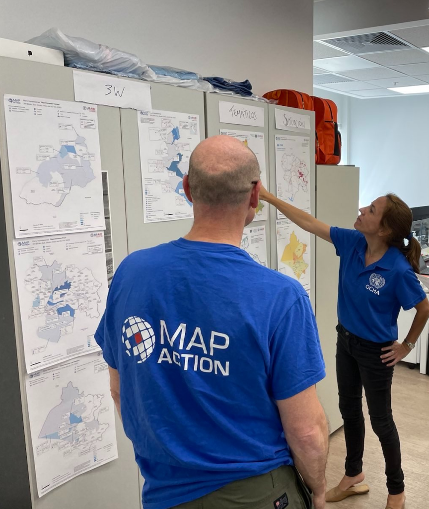
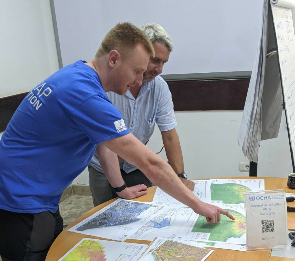
For a geospatial volunteer, it might be one map that opens up a huge aid solution or unlocks critical early funding for a CSO or humanitarian resilience network. In 2023 alone, our geospatial volunteers have responded to major crises alongside the UN in Turkiye, Libya, Kosovo and Peru. As a geospatial training content developer, you might engage in any number of activities: from providing support to CSOs in Southeast Asia or Southern Africa, to working with regional partners like the Caribbean Disaster Emergency Management Agency (CDEMA) or developing simulation for specific disasters, such as hurricanes. 

Many of these roles will entail opportunities to travel and work with some of the world’s leading humanitarian organisations: from the UN, WHO or WFP, to regional disaster response coordinators in four continents. 

READ ALSO: MapAction disaster mapping volunteers supporting UN on response to floods in Libya

Working closely with MapAction’s inhouse tech and geospatial departments – which include software engineers and data scientists –  as well as the UN’s Centre for Humanitarian Data in the Hague and other global partners, whoever fills these roles will get the opportunity to develop software, maps, training programmes, visualisations and data solutions that will broadly impact the humanitarian sector, as well as regional and national disaster relief agencies. These will pave the way for long-term impact and resilience. Working closely with national disaster agencies through the Start Network and INFORM, our innovation and tech team review national disaster models and preparedness worldwide, with a frontrow seat to enact sustainable change.

It is an opportunity for people with the right tech skills to see how the wider humanitarian system operates from the inside and where data and geospatial solutions play a role:  a front row seat to understand global trends and pressures driving world events and their consequences on people

Volunteers also provide vital support to UN agencies and other partners in emergency operations centres worldwide, both in-person and remotely. MapAction has been involved in more than 140 emergency responses worldwide in the last 20 years. 


Like what you’ve read and want to get involved? Please click here to see the full list of roles and to apply.

This work is made possible with funds from USAID’s Bureau of Humanitarian Assistance (BHA)

Becoming a MapAction Volunteer

By Lavern Rogers-Ryan, MapAction Caribbean Section volunteer

When the call came for Caribbean volunteers to apply to MapAction, I was keen to sign up. Having followed the work of this organisation and the amazing group of people who work as volunteers, I saw this as an awesome opportunity for me to contribute to the work of saving lives.

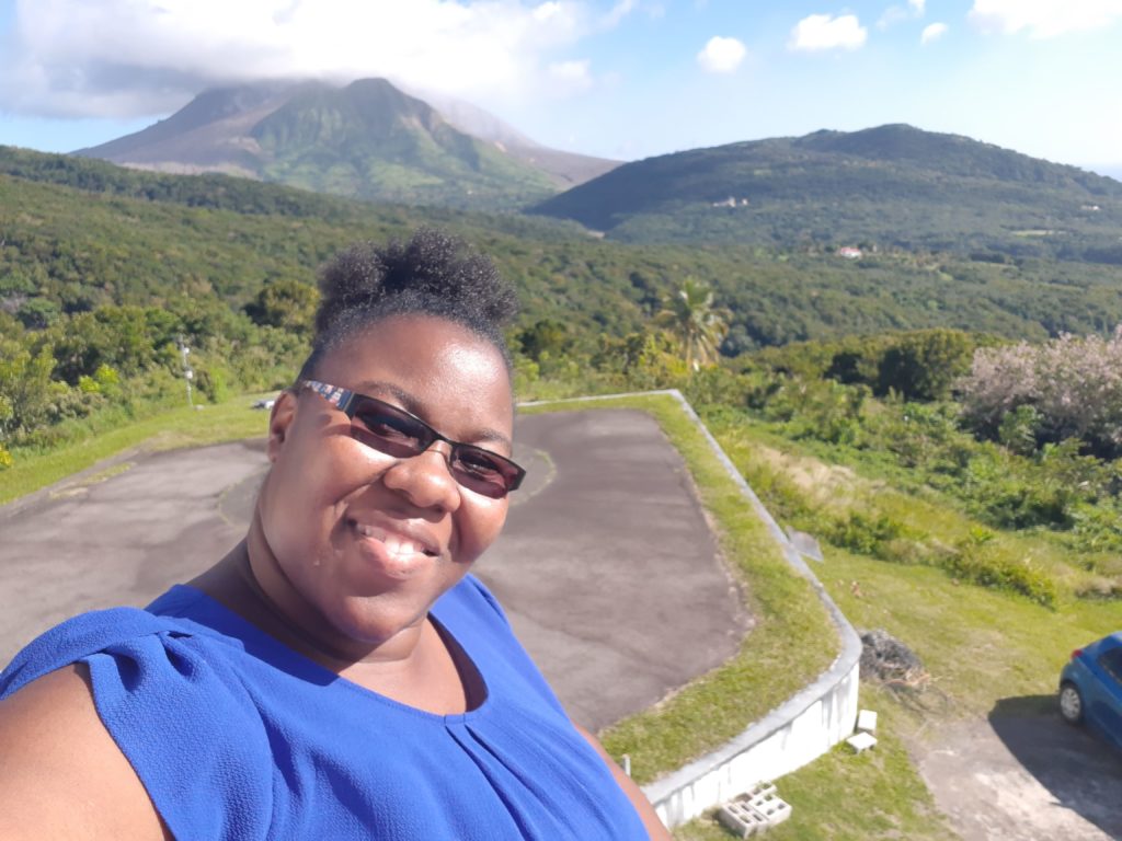
Living in Montserrat, with an active volcano and being privy to how devastating disasters can be, I was grateful for the prospect of being able to use my skills in geospatial technologies to contribute to humanitarian efforts during a disaster. My mind quickly raced back to the impact Hurricanes Irma and Maria had on my neighboring Caribbean Islands, in 2017. I wanted to be in a better position to offer assistance if a situation like that – God-forbid – presented itself again.

I therefore submitted an application to the organisation and not very long after, I was greeted with an email inviting me to an ‘assessment day’. Needless to say, I was very happy to advance to the next stage.

The assessment day turned out to be very interesting. Surprisingly, during the introductory session, I was reintroduced to the Head of the MapAction Caribbean Section, who reminded me that we met while he visited Montserrat in another capacity several years before. Moreover, the gentleman who is the Preparedness Lead for MapAction worked in Montserrat briefly on a project back in the early 2000s. I found it to be very fascinating how unsuspectingly our paths crossed again! In addition, hearing the testimony of a fellow MapAction volunteer sort of sealed the deal for me. He explained what being a volunteer all entailed and how my skills can contribute to saving lives.

Overall, this interview process was detailed enough to ensure that I was a good fit for MapAction. Amongst other skills, the panel assessed team spirit, leadership potential and the knowledge and application of geographic information systems (GIS) tools and software.

Receiving another email shortly after assessment day, entitled, “MapAction Caribbean Section – Interview Outcome”, I nervously but anxiously opened it. The words that bounced from my computer screen, read: “Congratulations, you have been selected to join our Caribbean Team!” 

This was awesome news and I am absolutely thrilled to be apart of the MapAction family and be able to contribute to society in this capacity.

I look forward to sharing more about the work of MapAction and my experiences in future blogs.

Lavern Rogers-Ryan is a geospatial consultant specialising in disaster risk management and recovery. She is currently head of the GIS Centre within the Government of Montserrat.

This blog was originally published on 20 July 2019 at www.lavernrogersryan.com.

Our journey towards equality

By Liz Hughes, MapAction Chief Executive

International Women’s Day is as good a day as any to reflect on gender diversity in the humanitarian and geospatial technology sectors and on what MapAction is doing to ensure equality of opportunity for everyone.

Globally, the proportion of women in the humanitarian sector workforce is high compared to other business sectors, but they are significantly under-represented at leadership level. The gender gap is more pronounced in the tech sector, where LinkedIn data indicates women make up just 27% of the total global workforce, and fewer than one in five female employees reach positions of leadership. That is very worrying when you consider that technology is, in a very real way, shaping the world in which we all live.

Some research suggests that women are better represented in the GIS (geographical information systems) sector than in other technology fields, and, according to our friends at Open Street Map, this is particularly true within the fields of humanitarian and disaster response mapping.

All of this indicates that MapAction, operating as it does at the centre of the Venn diagram of humanitarian emergencies and geospatial information, should be able to achieve gender parity. As an organisation committed to equal opportunities, that is certainly our aim, and one towards which we are steadily progressing, but have yet to attain.

We are fortunate enough to have as distinguished a female geographer as Dr Barbara Bond, Past President of the British Cartographic Society and Fellow and Past Council Member of the Royal Geographical Society, as a Trustee. As well as this, our senior leadership team is evenly balanced by gender. However, currently the overall proportion of women in the organisation is around 30%. Within our volunteer team, where much of our GIS and tech expertise resides, the figure is 26% and currently only a fifth of our ten Trustees are women. We can and will do better.

Why diversity matters

This is important for several reasons. It is certainly desirable that women and other under-represented groups have the opportunity to experience the tremendous personal and professional benefits of being a MapAction volunteer, so they can bring all that learning and personal growth back to help their own organisations and careers. In addition, part of the volunteer experience is belonging to a close community of GIS professionals with whom you work, train, socialise and share some very unique and powerful experiences. As one of our volunteers Kirsty Ferris put it, the “great support, understanding and shared geekiness” is invaluable. According to Kirsty, “There are not many places where you can talk GPS and geodesy with such shared enthusiasm.” To have that kind of peer support network can be vital when 62% of women say they do not see themselves staying in GIS for more than ten years. We need to ensure we have a diverse mix of people, so that all members of our team feel they belong.

But over and above the importance of diversity to our team is its importance for the work we do and the people who’s lives we are seeking to save and improve. The maps we create are a product or our collective know-how and team experience. As Andrew Foerch explains in his article ‘The Importance of Diversity in Cartography’, “Maps are more likely to address problems visible to the people who create them. For example, male and female responses might differ significantly if asked to map safe walking routes through a city.”

Thinking differently can make a difference

GIS and technology expert volunteers make up the lion’s share of MapAction’s membership – we have over 80, plus 10 Trustees, compared to a staff team of 17, most of whom are part-time. We recruit our volunteers once a year, enabling us to train each new intake group together, in order to equip them with all the skills they need to operate effectively within a disaster zone.

Our volunteer recruitment drive is an important annual activity and each new year group brings fresh energy and experience as well as new personalities to our team. The number of men applying to volunteer and making it through our rigorous selection process has nearly always exceeded the number of women. This has always been a concern, but the problem became urgent in 2017 when for the second time in three years, all the successful applicants were male, and only three women were recruited during the three-year period out of a total of 25.

To address the issue, we set up a working group of volunteers and staff members to review our recruitment and also working practices and develop a plan of action. A number of actions came out of that process:

  • We reviewed our GIS volunteer profile to ensure it was attractive to and inclusive of under-represented groups.
  • We published profiles of a diverse group of volunteers and offered to connect prospective applicants with them to find out more about what it’s like to be a MapAction volunteer.
  • We made sure a statement about our commitment to diversity and equal opportunities was included in all our recruitment materials.
  • We broadened the advertising strategy of our recruitment drive, to incorporate organisations such as Women in Technology and Girls Who Code.
  • In order to ensure there are no barriers to entry for any particular group due to unconscious bias on the part of those shortlisting candidates, we are looking at removing all information pertaining to gender, age, ethnicity, disability, etc. from applications.

It is still early days, and there is still much more to do, but it was gratifying to see that our 2018 volunteer intake achieved gender parity at least. We will continuously evaluate and improve our approach. There is tremendous commitment within our staff and volunteer teams to achieve our diversity objectives as part of making MapAction as good as it can be. With that momentum behind us I’m confident that we will get there.