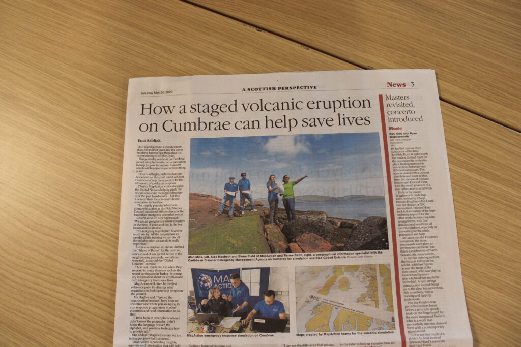
MapAction conducts simulated volcanic eruption response exercise on Isle of Cumbrae
Posted on
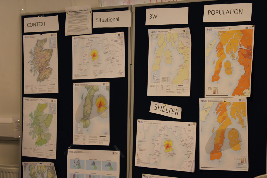
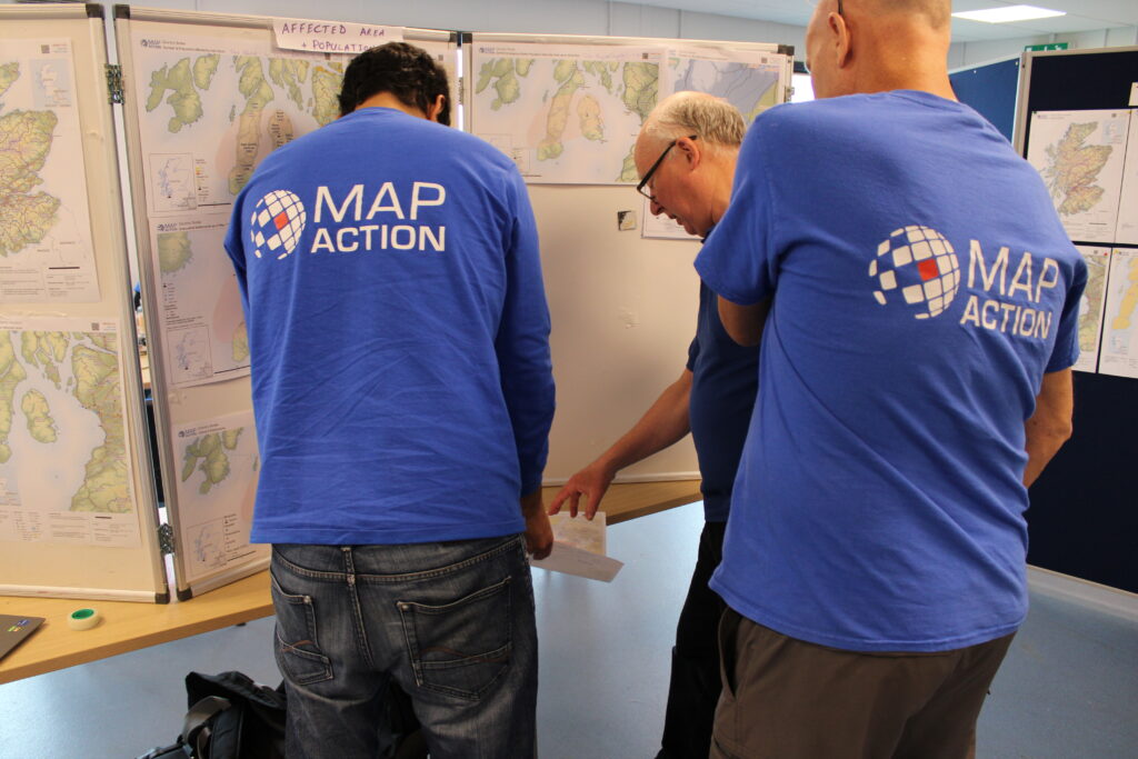
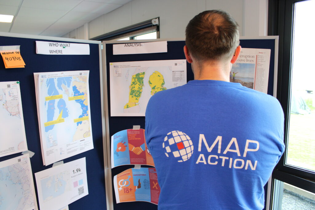
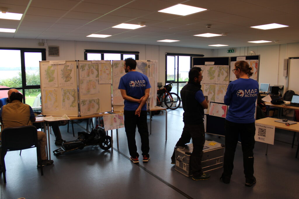
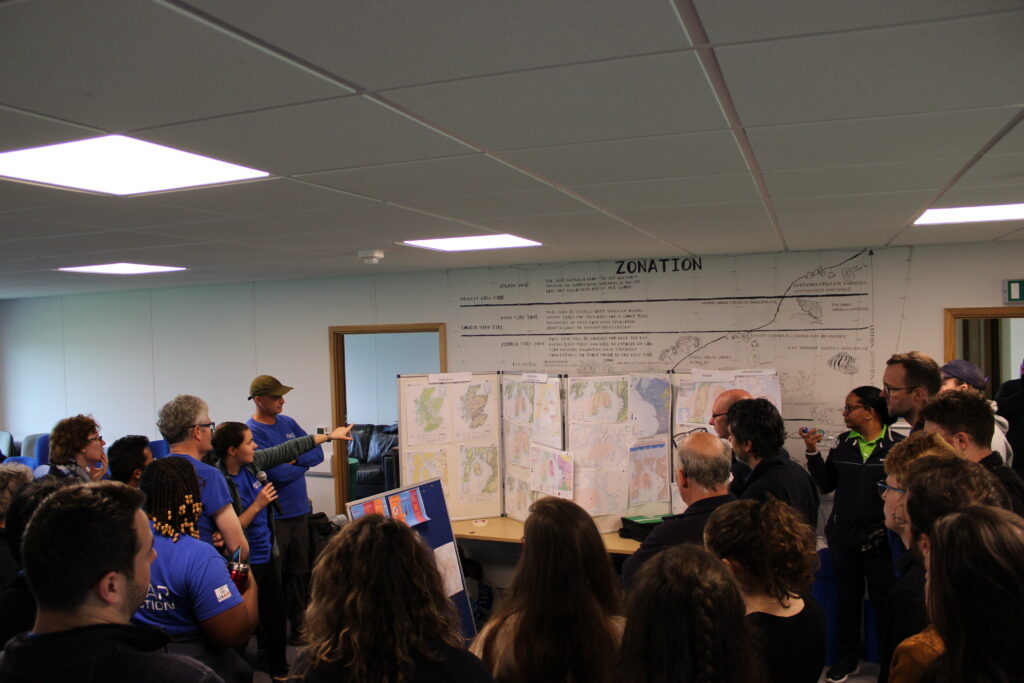
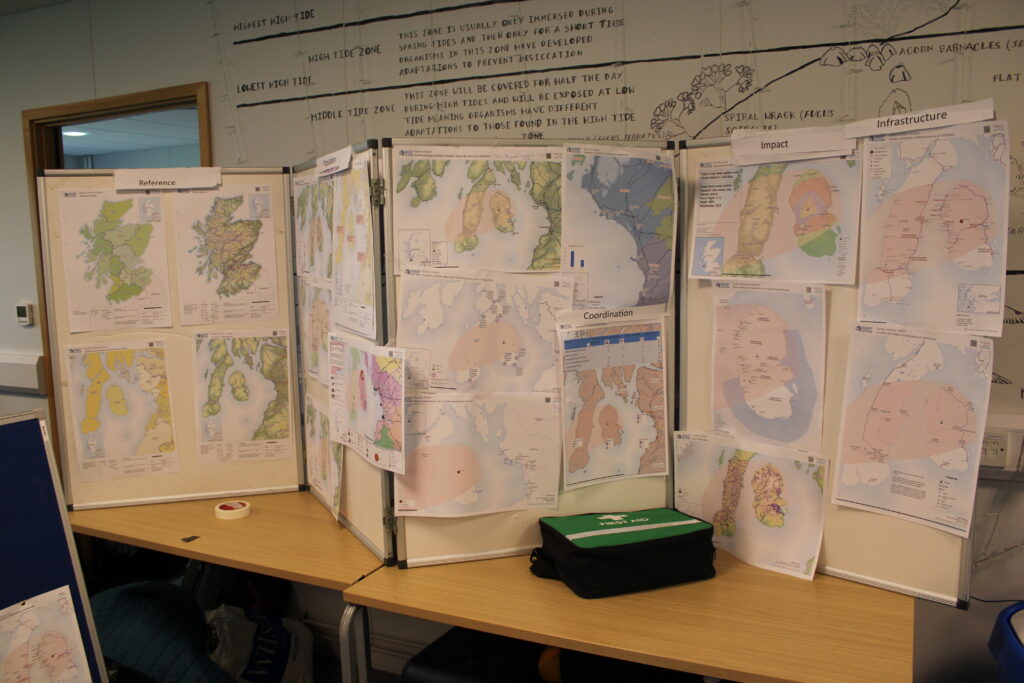
An emergency ‘map wall’. MapAction’s maps help inform specific decisions about allocation of key resources in humanitarian situations.
Every year, MapAction brings together its staff, its cohort of volunteers, partners and other stakeholders to hold a three-day exercise to simulate an emergency response to a given disaster. The objective is to strengthen the whole organisation’s disaster preparedness; to ensure MapAction is as ready as it can be for the next emergency response.
This year’s scenario envisaged a volcanic eruption on the fictional island of Ranas in the fictional country of Scotia. The exercise actually took place on the Isle of Cumbrae, 45 minutes southwest of Glasgow.
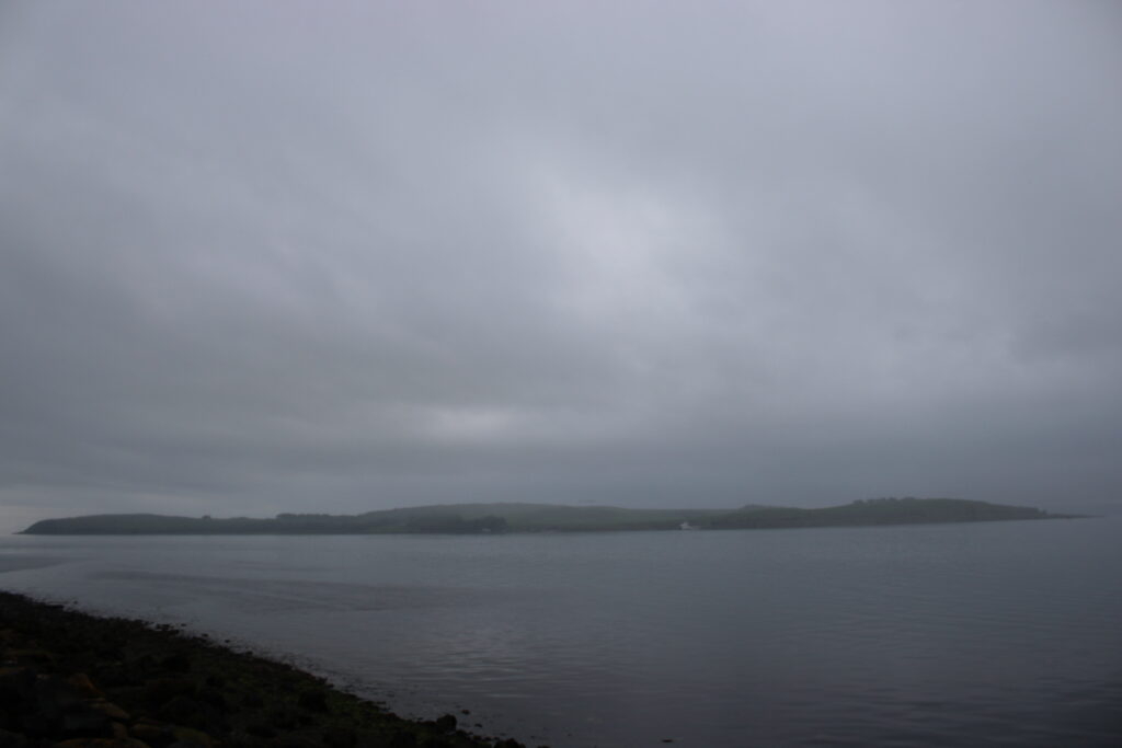
Cloud of ash over the horizon? A view of Cumbrae, also known after the name of its main town Millport, in cloudy weather.
The scenario, partly designed around the local geography, accessibility and geological features, imagined that the local disaster relief network has requested MapAction’s presence, five days after the eruption, to map the disaster landscape and to help inform the decision-making process – to help save lives.
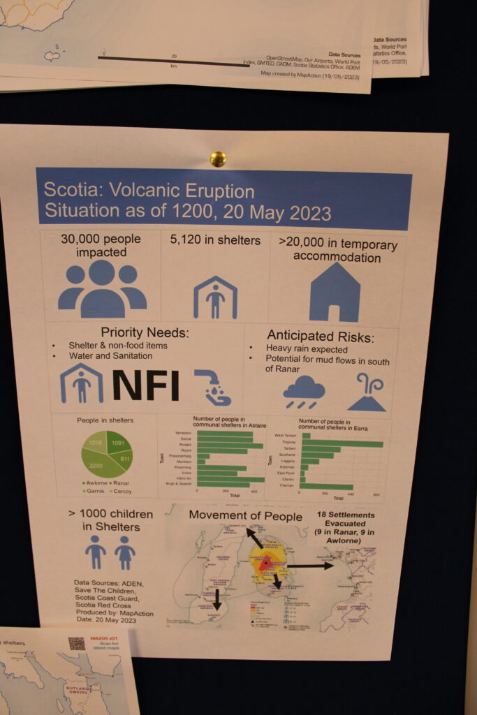
An infographic produced by a team and based on the fictional volcanic eruption.
Volunteers play themselves in the simulation but several MapAction staff members assume roles for the exercise, such as the governor of the affected region, an environmental officer, a hostile journalist etc.
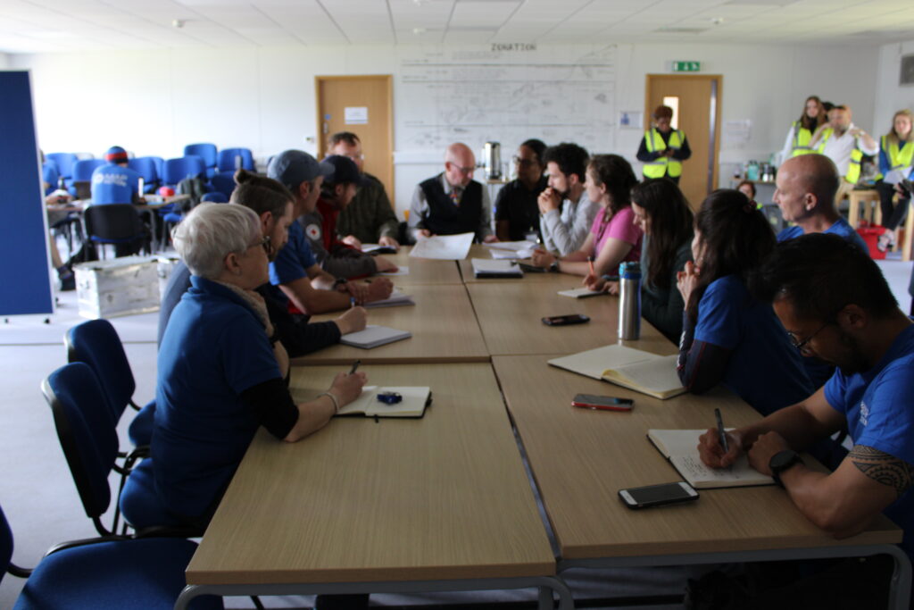
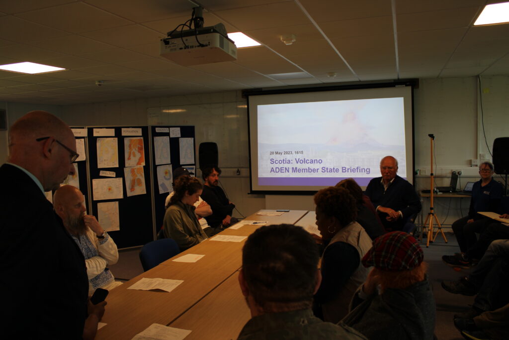
MapAction volunteers meet with the governor (centre, role-played by MapAction’s Alan Mills) of the fictional province affected to understand more about how their humanitarian mapping skills can support the emergency response.
Senior staff members even go into costume to make roles more convincing.
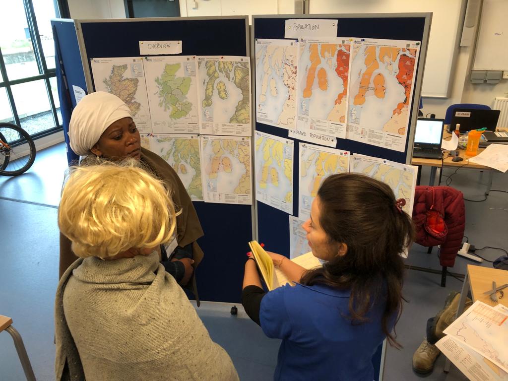
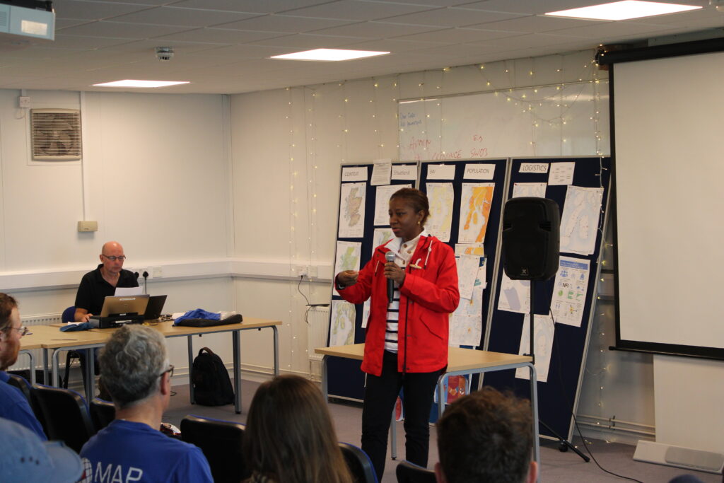
MapAction CEO Liz Hughes (centre) and Head of Programmes Hellen Chabunya (left), both playing stakeholders in the hypothetical country and scenario, throw some curveballs at a volunteer from Team Bravo during the exercise. Photo: Alistair Wilkie.
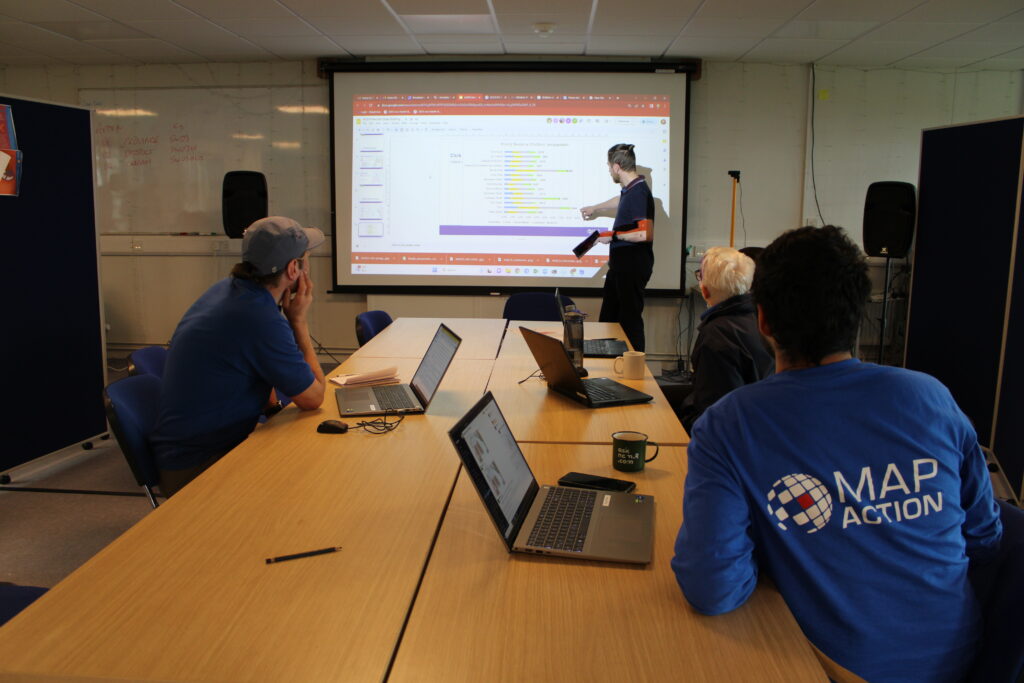
The volunteers, many of whom work for leading GIS, AI, humanitarian or tech companies, have been split into five teams (Alpha, Bravo, Charlie, Delta and Echo), each with their own tasks and deadlines.
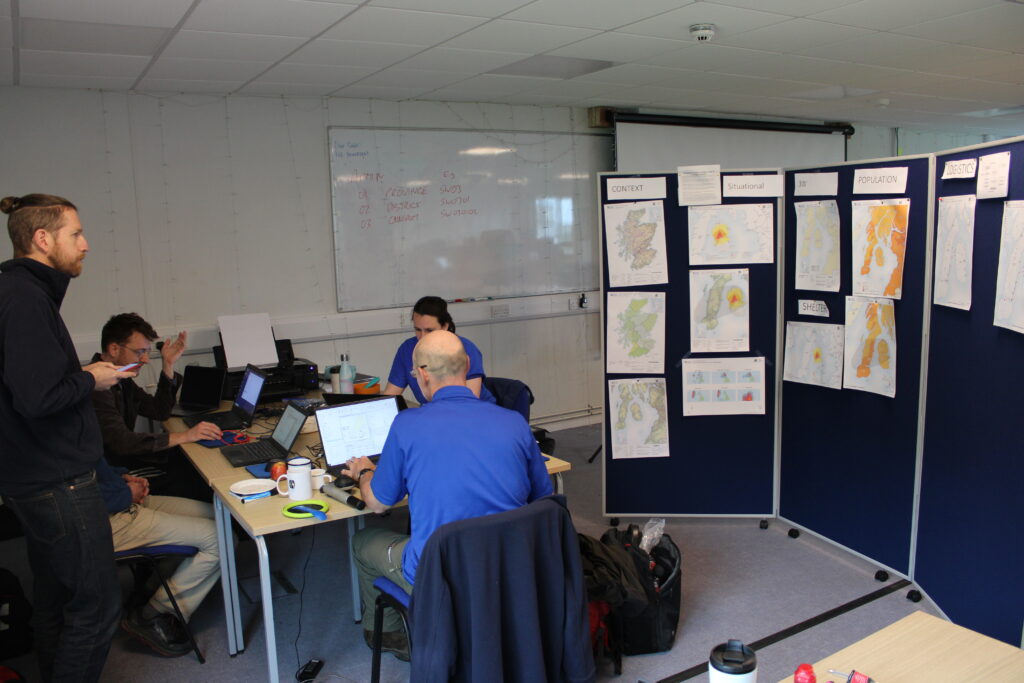
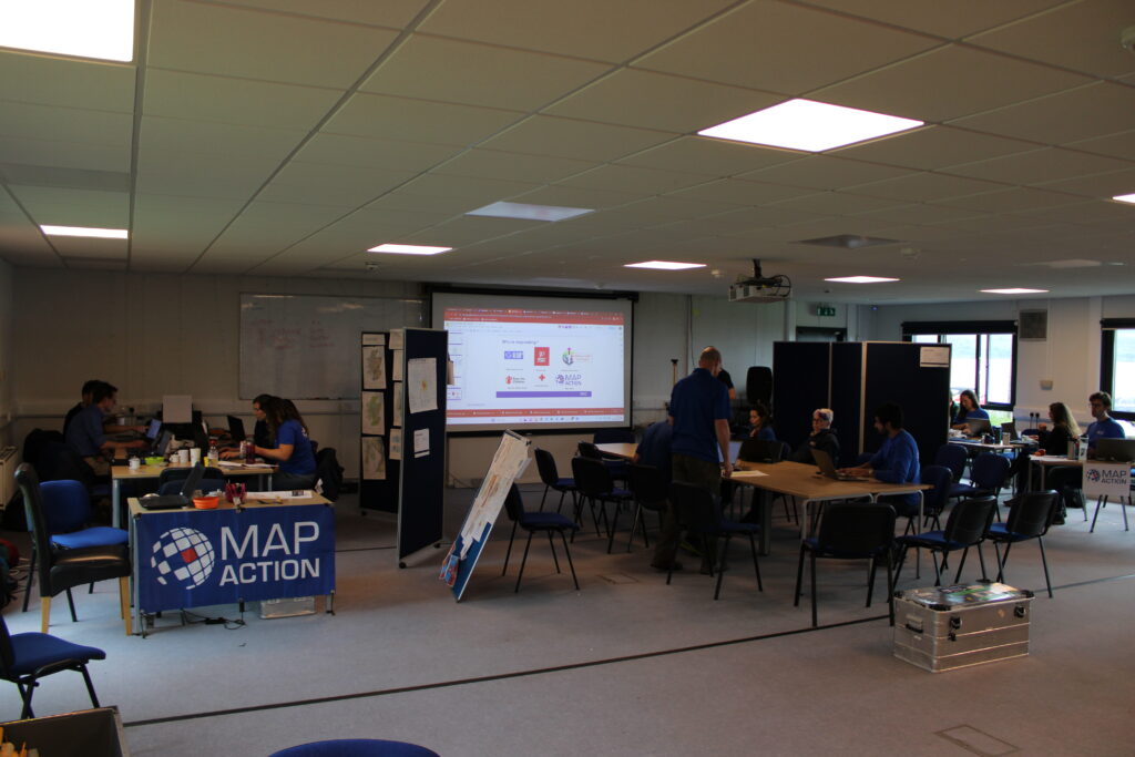
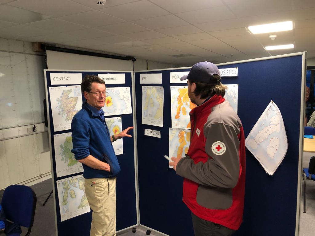
Team Charlie review their map wall on Saturday May 20th, Day 2 of the exercise. First mapping tasks focused on data related to population, context, logistics and shelter.
Volunteers are only given the basic context and details of the scenario the day they arrive to ensure the simulation feels as real as possible. In many emergency responses, a MapAction team will arrive in a rapidly unfolding and fluid situation in the affected country and will have to set-up and adapt fast to needs.
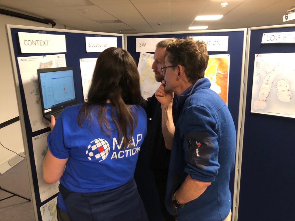
Members of Team Bravo discuss the minutiae of their map wall.
The simulation, dubbed Gilded Unicorn internally, is also an opportunity for partners to get a closer look at MapAction’s work and to share synergies.
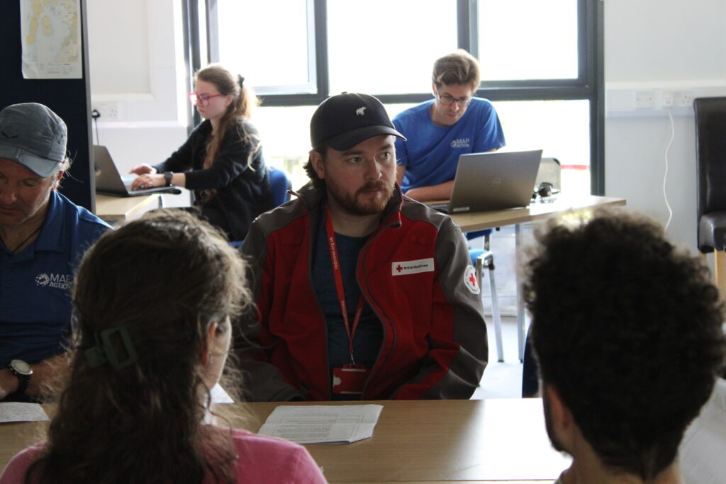
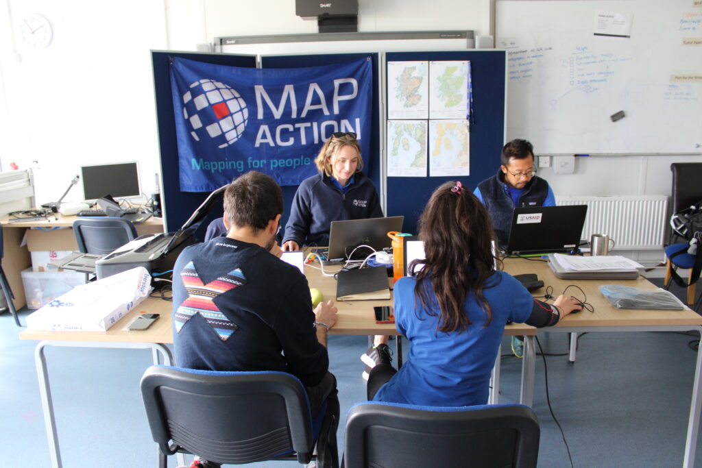
Alex Pycroft, from the British Red Cross, attends a meeting in the simulated emergency operations centre.
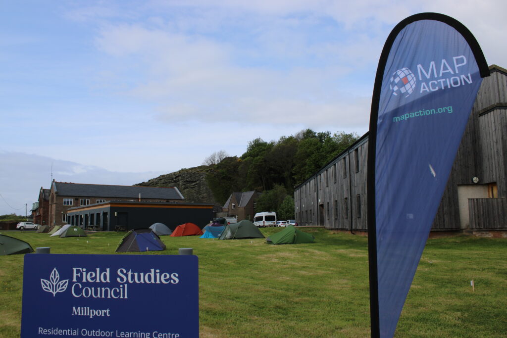
The event was hosted by the Field Studies Council on the Isle of Cumbrae, off the west coast of Scotland.
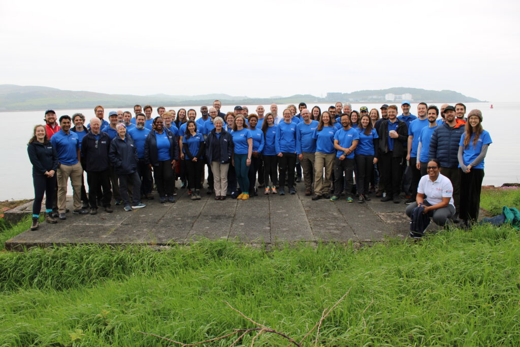
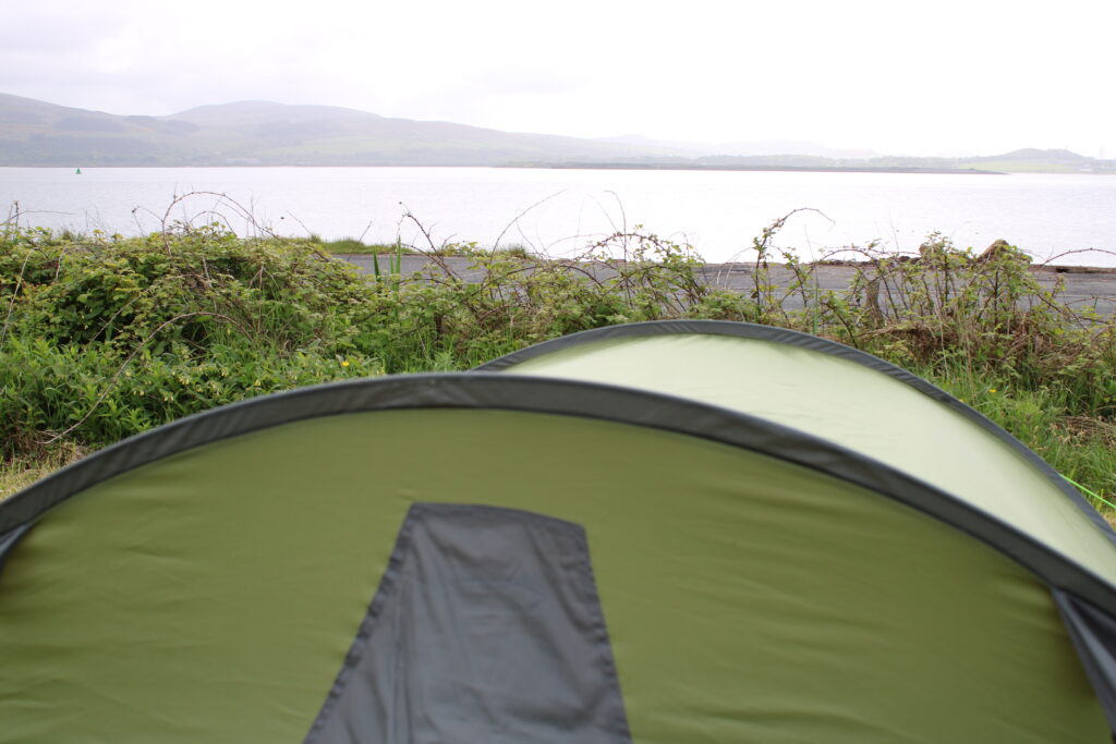
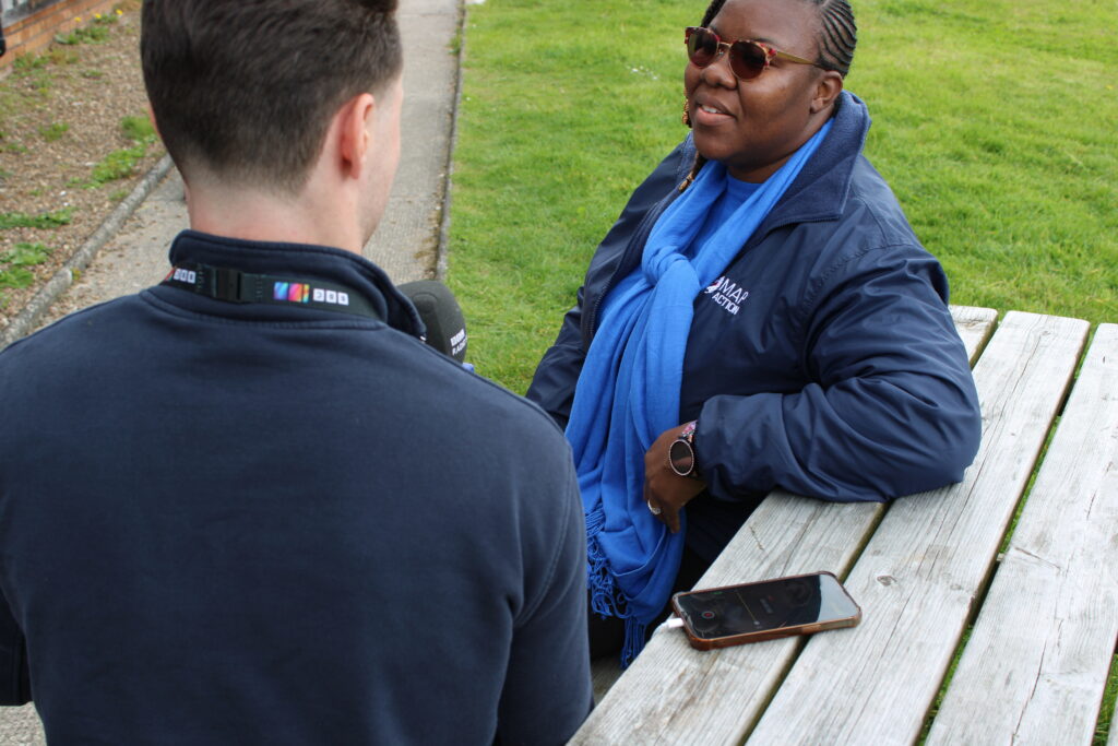
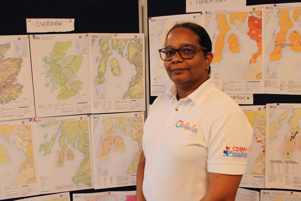
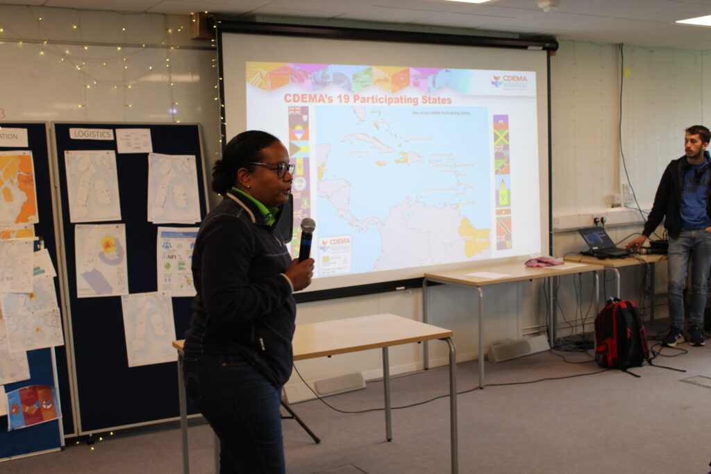
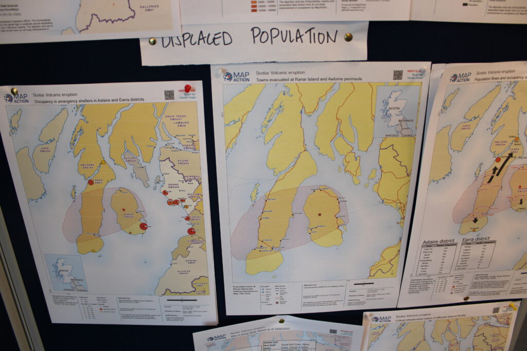
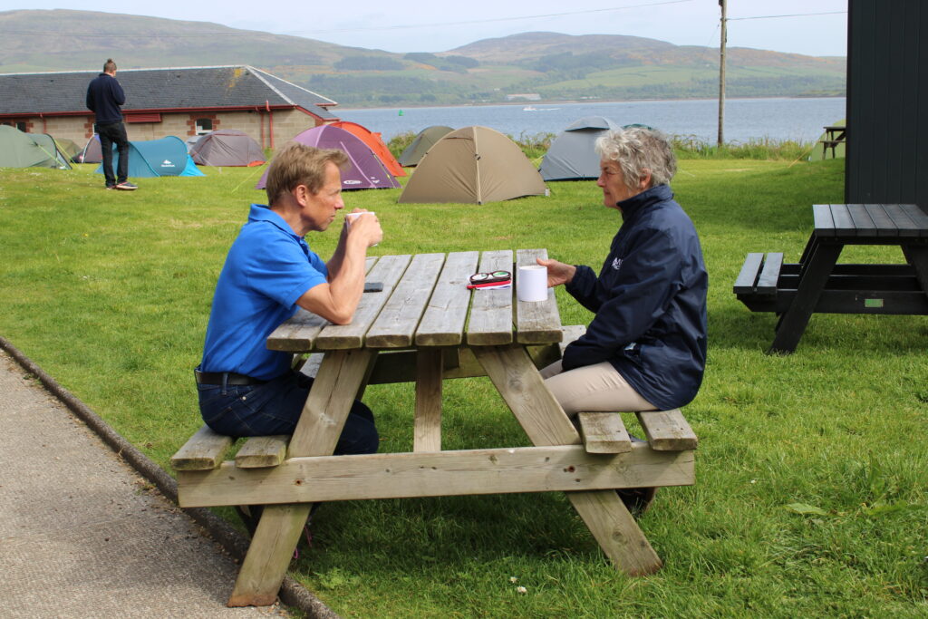
MapAction staff, volunteers, partners and guests gather for a team photo at the disaster simulation exercise. The Field Studies Council site in Millport. The Field Studies Council has 24 sites across the UK which support its work to “help people learn about the environment so they can make informed choices about how best to protect it.” The volunteers sleep in tents yet many sleep very little and map well into the early hours of the night on Day 1 to get their map products finalized. Deployments are often the same, say many volunteers, with bursts of intense mapping to meet a specific requirement from a partner agency or an urgent task deadline. The event was made possible with funding from USAID’s Bureau of Humanitarian Affairs (BHA). BBC Scotland journalist Oliver Wright interviews MapAction volunteer Lavern Ryan from Montserrat.Team leaders meeting. Renée Babb, Global Information Systems (GIS) Specialist at the Caribbean Disaster Emergency Management Agency (CDEMA), is a guest at the exercise. CDEMA is a long-time MapAction partner. A volunteer from Team Delta reviews details on the team’s map wall. Ekosuehi Iyahan, secretary general of the Insurance Development Forum, addressed MapAction’s staff and volunteers on the challenges of triggering early financing based on data for anticipatory action in the struggle against climate change. Renée Babb, GIS Specialist at the Caribbean Disaster Emergency Management Agency (CDEMA), talks to MapAction humanitarian mappers about the 19-state pan-Caribbean disaster management agency. A close up of maps focused on the population displaced by the eruption on a map wall. It’s getting busy in the emergency operations room where teams Charlie, Delta and Echo are tirelessly working away to get the final maps produced. Next door, Team Alpha aren’t resting either. MapAction Chair of Trustees Nick Moody and CEO Liz Hughes in conversation at the FSC.
The tech team brought more than 400 kilograms of tech equipment in over 20 metal boxes to the event. Each ‘Deployment Kit’ contains a pre-prepped laptop and the gear necessary to set-up a temporary office at the site of any emergency response.
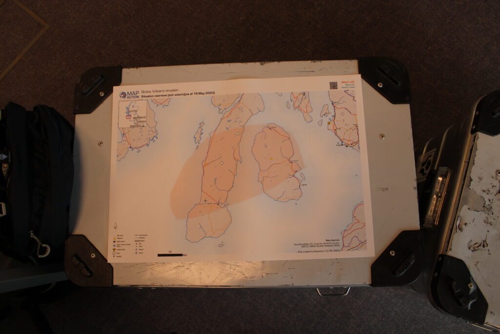
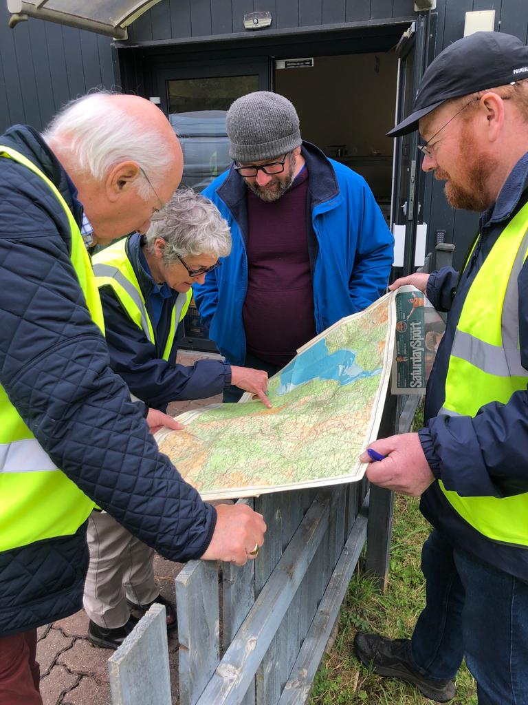
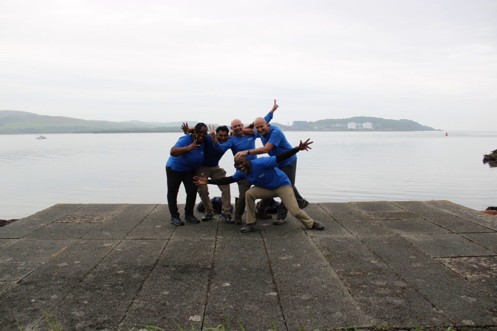
A map perches on top of a deployment kit. A simulated meeting with the governor of the affected region and other members of the fictional Albia Disaster Emergency Network. MapAction CEO Liz Hughes reviews a local map of the territory. Photo: Alistair Wilkie. Nick McWilliam from MapAction and Alex Pycroft from the British Red Cross talking by a map wall. Photo: Alistair Wilkie.Maps, maps, maps! Photo: Alistair Wilkie. Members of Team Alpha and Team Bravo check a few details on their map walls. The wonderful Caribbean contingent (plus Alan Mills) in attendance at the event.
On the final day, teams gathered to give each other feedback on how they handled specific requests while also offering each other tips and advice on specific maps.
This work was made possible with funds from USAID’s Bureau of Humanitarian Assistance (BHA)