With El Nino set to bring a particularly challenging period for humanitarians, MapAction members have been busy all summer working on disaster preparedness around the world.
If you missed our recent announcement, we are delighted to be able to introduce Colin Rogers, MapAction’s new CEO. Read more about Colin here and his decades of experience in the health and humanitarian sectors.
READ ALSO: MapAction excited to announce Colin Rogers as new chief executive
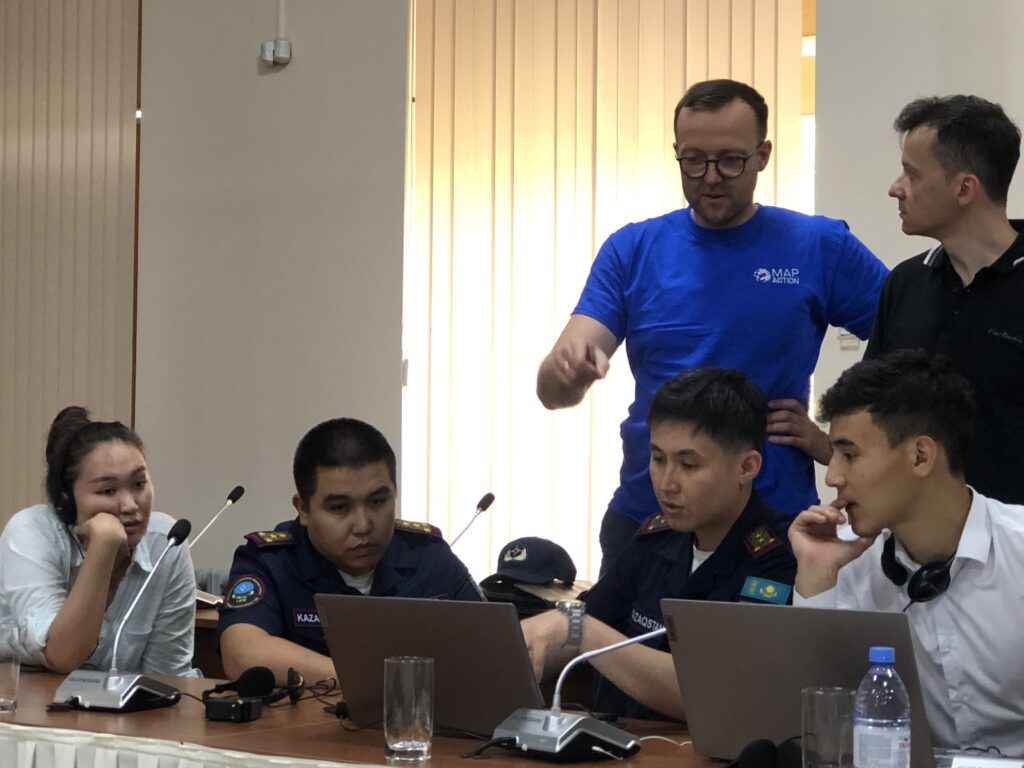
In June, a team from MapAction completed a series of workshops with national and regional disaster managers from Central Asia, with local partner the Centre for Emergency Situations and Disaster Risk Reduction (CESDRR).
“In total, from 2019 to 2023, the Center, together with MapAction, conducted 14 trainings on the use of GIS technologies, while more than 309 employees of the Ministry of Emergency Situations of the Republic of Kazakhstan, the Ministry of Emergency Situations of the Kyrgyz Republic and the Ministry of Emergency Situations of the Republic of Uzbekistan were trained.” Read more in CESDRR’s own words here.
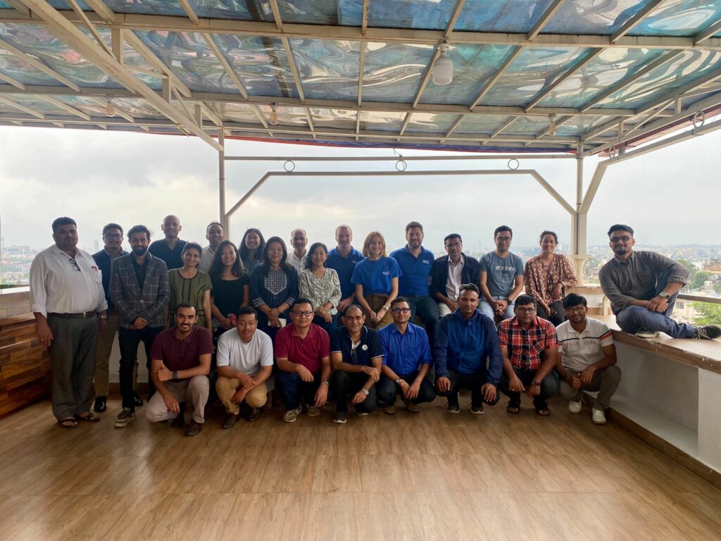
In late July, another team from MapAction completed a QGIS workshop for national disaster managers in Nepal, with the Start Network. QGIS is an open source geographic information system. The Start Network comprises approximately 80 non-governmental organisations across five continents, ranging from large international organisations to local and national NGOs. Its mission is to “create a new era of humanitarian action that will save even more lives.”
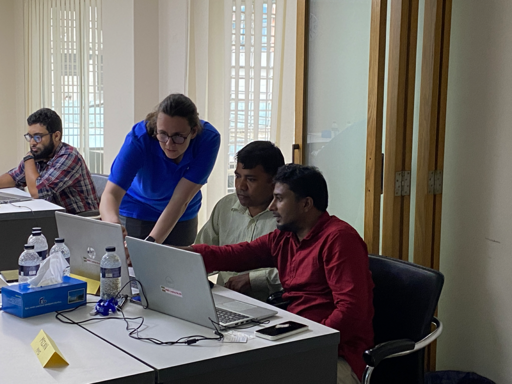
Another event, this time for local NGOs in Bangladesh, again via the Start Network, explored early action and fast and effective response to disasters.
“Geospatial data, data visualisation and information management are critical to anticipatory action and we are demonstrating and hosting training sessions on how they can be used to enhance the coordination of disaster risk nationally,” commented longtime member Anthony Giles.
The disaster preparedness event in Bangladesh was kindly supported by the Insurance Development Forum, the Eco-Social Development Organization (ESDO) and the Start Network.
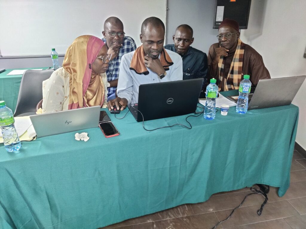
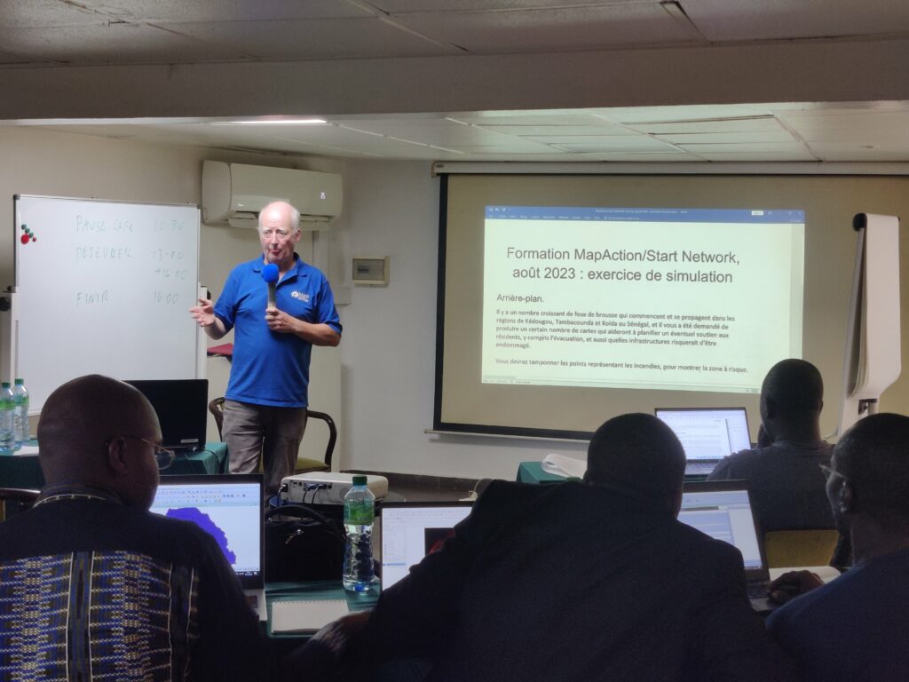
Over the past 3 weeks, besides in Bangladesh, MapAction teams have also run introductory GIS courses in Madagascar and Senegal to around 60 delegates, Start Network members and staff. A further course will take place in the Philippines this month. Besides the courses, MapAction teams reviewed tools in use for tasks such as hazard management and vulnerability assessment at local and national disaster preparedness agencies, with a view to providing further technical assistance in the future.
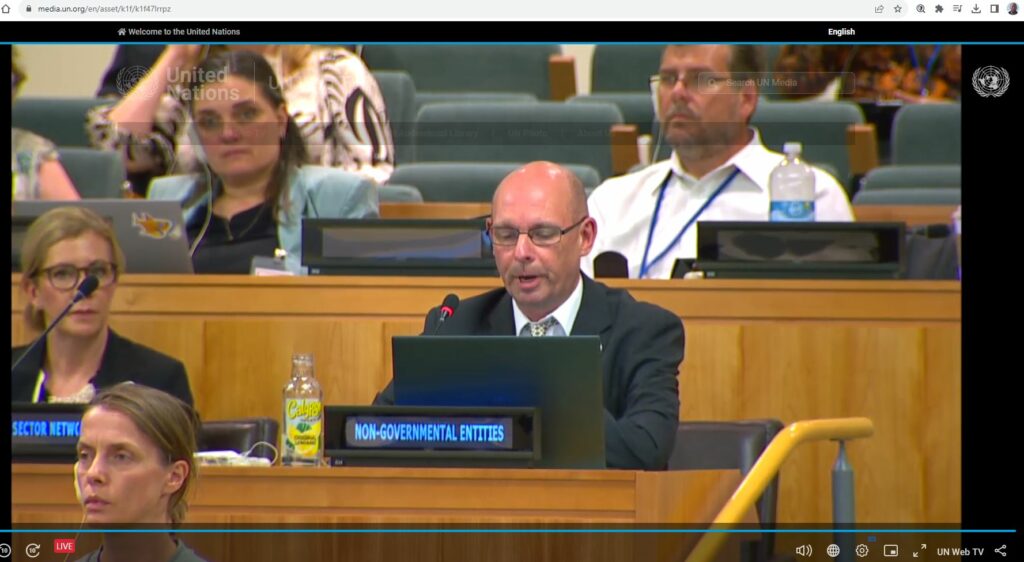
In other news, MapAction’s Head of Programme Development, Alan Mills MBE flew to New York to speak as a panellist at the Thirteenth Session of the United Nations Committee of Experts on Global Geospatial Information Management (UNGGIM).
Alan reiterated to member states the key role that geospatial services can play in humanitarian disaster reduction and mitigation.
“Given the increasing humanitarian demands around the globe, whether from meteorological events and climate change impacts, seismic shocks, food insecurity or displacement, the implementation of the UN-IGIF (United Nations Integrated Geospatial Information Framework/UN-IGIF) and application of the guidelines set out in the Strategic Framework of Disasters provides geospatial resource efficiencies in helping to build resilience and support the most vulnerable in our communities,” Alan told the session. Read Alan’s speech here.
MapAction works on disaster preparedness 24/7, all-year-round. From the team that cancelled Christmas to rush to DRC in response to flooding, to those helping local communities to become better prepared for disasters, those delivering training, or advocating for better use of data for humanitarian response. We do the technical work that ultimately helps others save more lives. If you like the work we do and would like to support that work, or think you know somebody who would, please get in touch. MapAction doesn’t have the funds it needs, and the demands of climate change are only getting greater. Read more in our appeal here or donate here.