PRESS RELEASE – The ASEAN Coordinating Centre for Humanitarian Assistance on disaster management (AHA Centre), established by ten Member States of the Association of Southeast Asian Nations (ASEAN) to facilitate cooperation and coordination of disaster management across the region, has entered into a formal partnership with humanitarian mapping charity MapAction. The Memorandum of Intent was signed today by Adelina Kamal, Executive Director of the AHA Centre, and MapAction Chief Executive Liz Hughes, during the 8th Meeting of the Governing Board of the AHA Centre held in Kuala Lumpur, Malaysia.
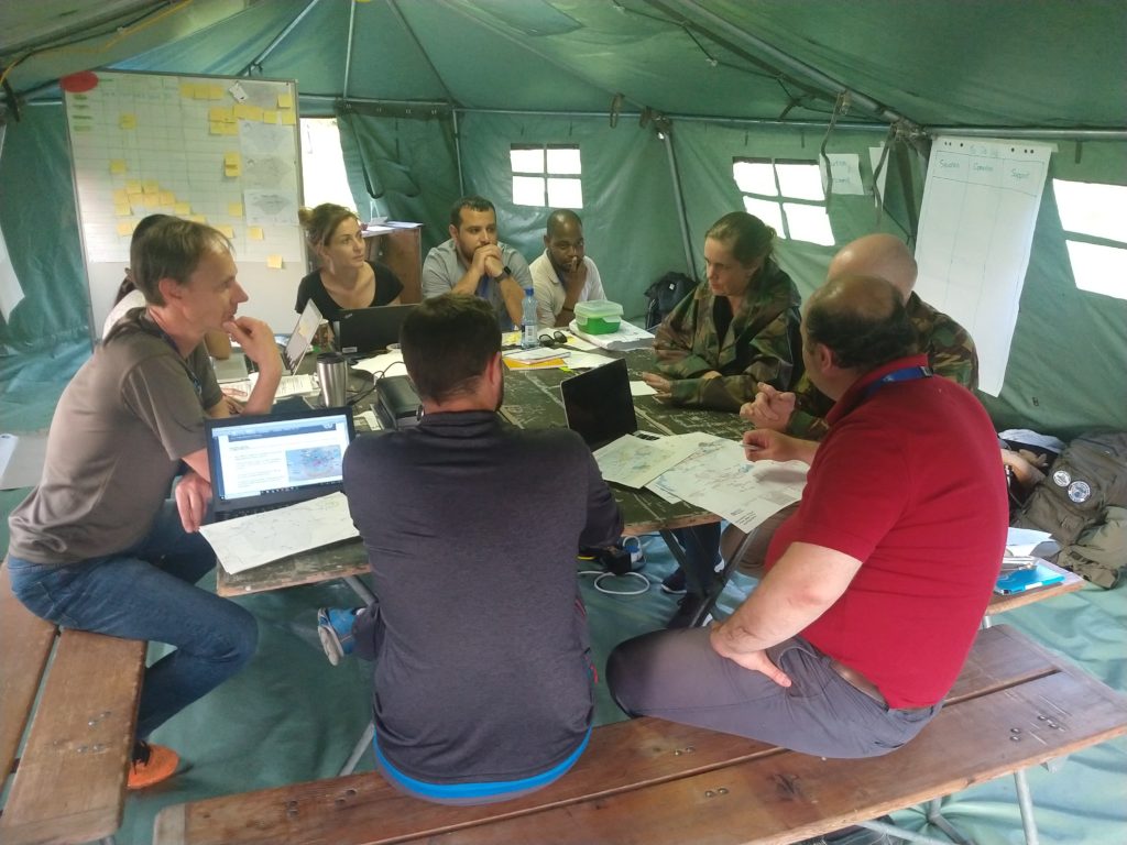
The two organisations are working together to build mapping and information management capacity among humanitarian actors in the ASEAN region as well as help them prepare for a disaster by putting in place essential geospatial information and resources. MapAction will also be called upon to provide mapping and information management support in the event of a disaster in Southeast Asia, both in-country and remotely, as needed.
Liz Hughes commented, “Humanitarian emergencies often strike without warning and the challenge for those responding is to know where to start. They need information about what help is needed and where, as well as the status of roads and other infrastructure, as quickly as possible. Conveying this information visually in the form of maps and data visualisations helps to create a shared operational picture for aid agencies, governments and local partners, which is vital for a coordinated and effective response. The work that the AHA Centre is doing across and beyond the ASEAN region to protect and assist vulnerable communities is excellent and we are very pleased to be able to support it.”
Adelina Kamal said, “We are delighted to be working closely with the MapAction team. Their expertise and experience in humanitarian mapping and information management will be very valuable for the AHA Centre, as well as for our ASEAN Emergency Response and Assessment Team or ASEAN-ERAT members, who have been trained together with the MapAction team in recent years. The knowledge and practical skills shared by MapAction through joint training and exercises will allow the AHA Centre and our ASEAN-ERAT members to better assist the disaster-affected country and enhance coordination with other humanitarian actors in line with the spirit of One ASEAN One Response.”
MapAction’s participation in the joint training exercises and activities with the AHA Centre and ASEAN-ERAT members is funded by the United States Agency for International Development (USAID).
Photos
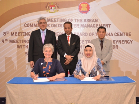
Top: signing ceremony of the MoI. Back row, members of the ASEAN Committee on Disaster Management, from L to R: Mr. Vongthep Arthakaivalvatee, the Deputy Secretary-General of ASEAN for ASEAN Socio-Cultural Community; Dato’ Haji Muhammad Yusoff bin Wazir, the Deputy Director General (Post-Disaster) of NADMA Malaysia; Dr. Ko Ko Naing, the Director-General of Myanmar’s Department of Disaster Management
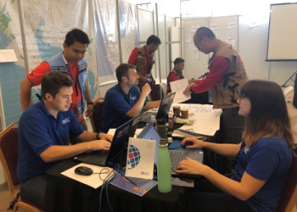
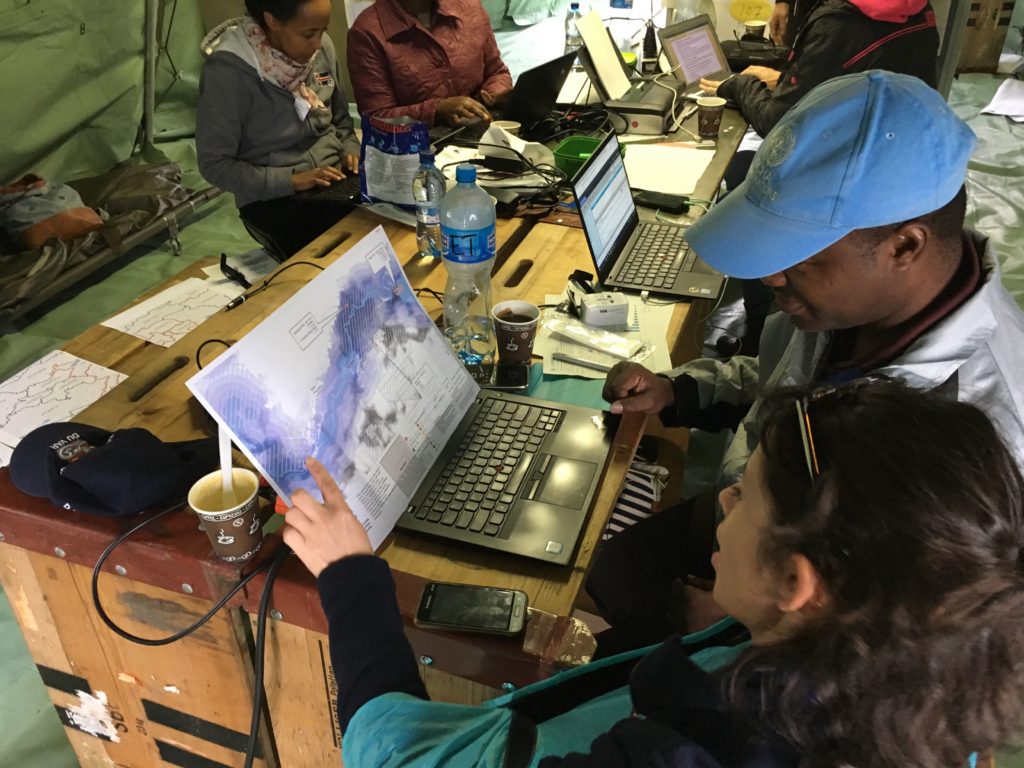
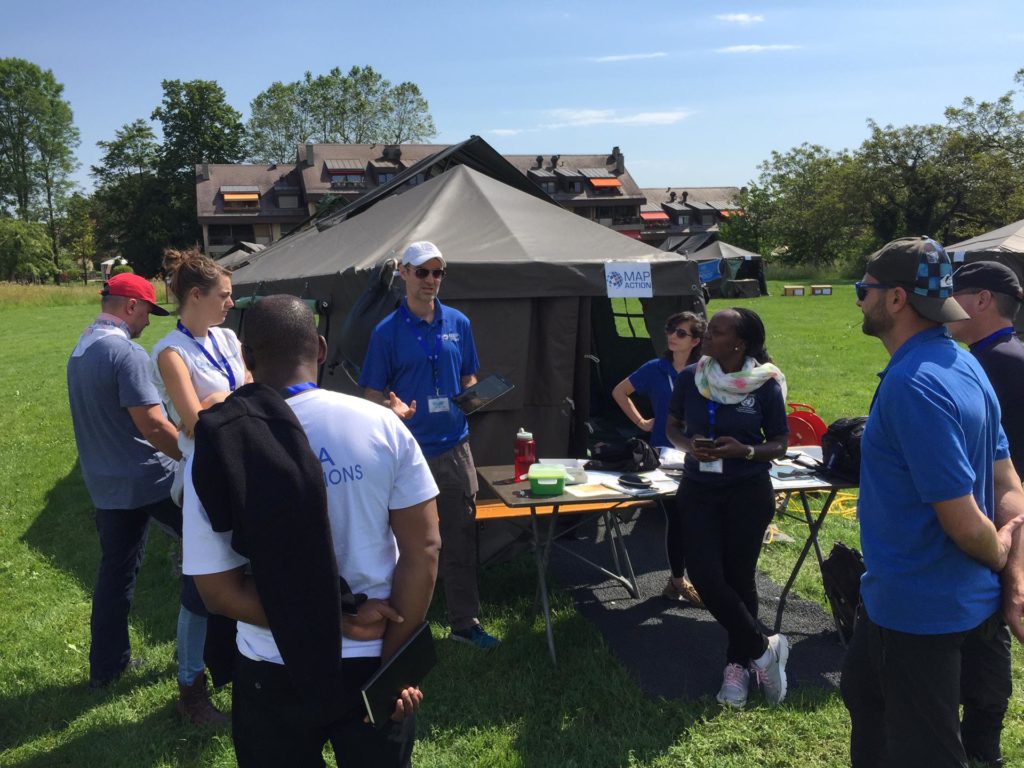
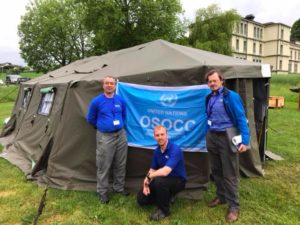
Above: MapAction and ASEAN-ERAT team members train together.
About the ASEAN Coordinating Centre for Humanitarian Assistance
The AHA Centre is an inter-governmental organisation established by ten ASEAN Member States on 17 November 2011 with the aim to facilitate cooperation and coordination amongst ASEAN Member States and with relevant United Nations and international organisations in promoting regional collaboration in disaster management. Under the ASEAN Declaration on One ASEAN One Response signed by the ASEAN Leaders in September 2016, the AHA Centre is reaffirmed as the ASEAN regional coordinating agency on disaster management and emergency response. The AHA Centre reports to a Governing Board that consists of heads of the National Disaster Management Organisations of the ten ASEAN Member States. The AHA Centre is based in Jakarta, Indonesia.
For more information regarding the AHA Centre, please contact:
Ms. Shintya Kurniawan
shintya.kurniawan[at]ahacentre.org
t: +62 21 2982 7793 ext. 108
www.ahacentre.org
About MapAction
MapAction’s mission is to save lives and alleviate suffering for people affected by humanitarian emergencies by mapping priority needs and helping to coordinate the response. Recognised as a leading provider of professional mapping services in first phase emergency response, MapAction is a long-term partner of humanitarian agencies including the United Nations Office for the Coordination of Humanitarian Affairs (UN OCHA), the UN Refugee Agency (UNHCR), the World Food Programme, Save the Children and ACAPS and has recently joined the Missing Maps project. Since 2002, MapAction has responded to 78 humanitarian emergencies, which have impacted on the lives of tens of millions of people.
For more information about MapAction, please contact:
Ms. Jo Pratt
Jpratt[at]mapaction.org
t: +44 (0)1494 568 899
MapAction’s participation in joint activities with the AHA Centre is made possible by the generous support of the American people through the United States Agency for International Development (USAID). The contents of this press release are the responsibility of MapAction and the AHA Centre and do not necessarily reflect the views of USAID or the United States Government.


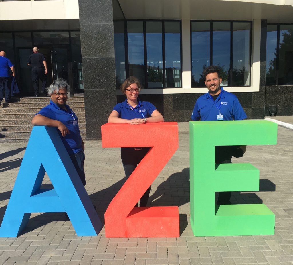
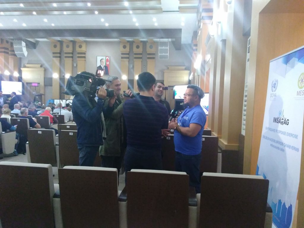


 At the same time, two MapAction volunteers travelled to Yerevan, Armenia, to support the International Search and Rescue Advisory Group’s (INSARAG) regional earthquake response exercise with maps. This simulation exercise was particularly poignant, coinciding as it did with the 30th anniversary of the Spitak earthquake, which killed over 25,000 Armenians and injured over 130,000 more.
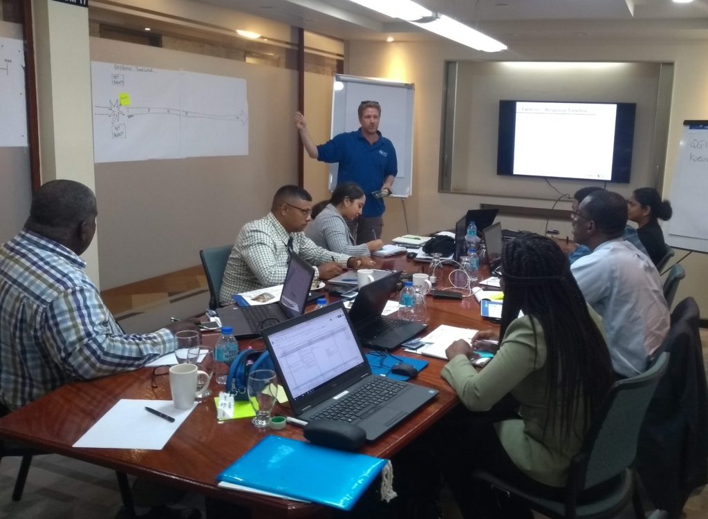
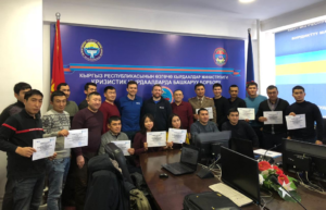 A further two MapAction volunteers were in Bishkek last week to deliver a package of training on mapping, data collection and data management for national disaster management agencies.
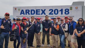 MapAction volunteer Ian Coady was in Banten, Indonesia, last week, with our partner the AHA Centre, which is the Association of Southeast Asian Nations (ASEAN) Coordinating Centre for Humanitarian Assistance on Disaster Management. Together they were taking part in the seventh ASEAN Regional Disaster Emergency Response Simulation Exercise (ARDEX).
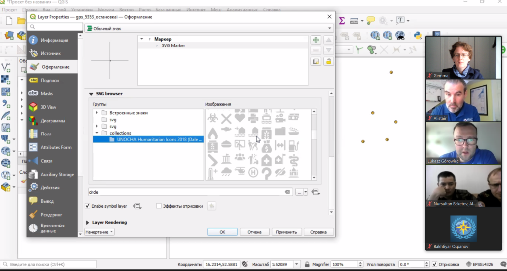
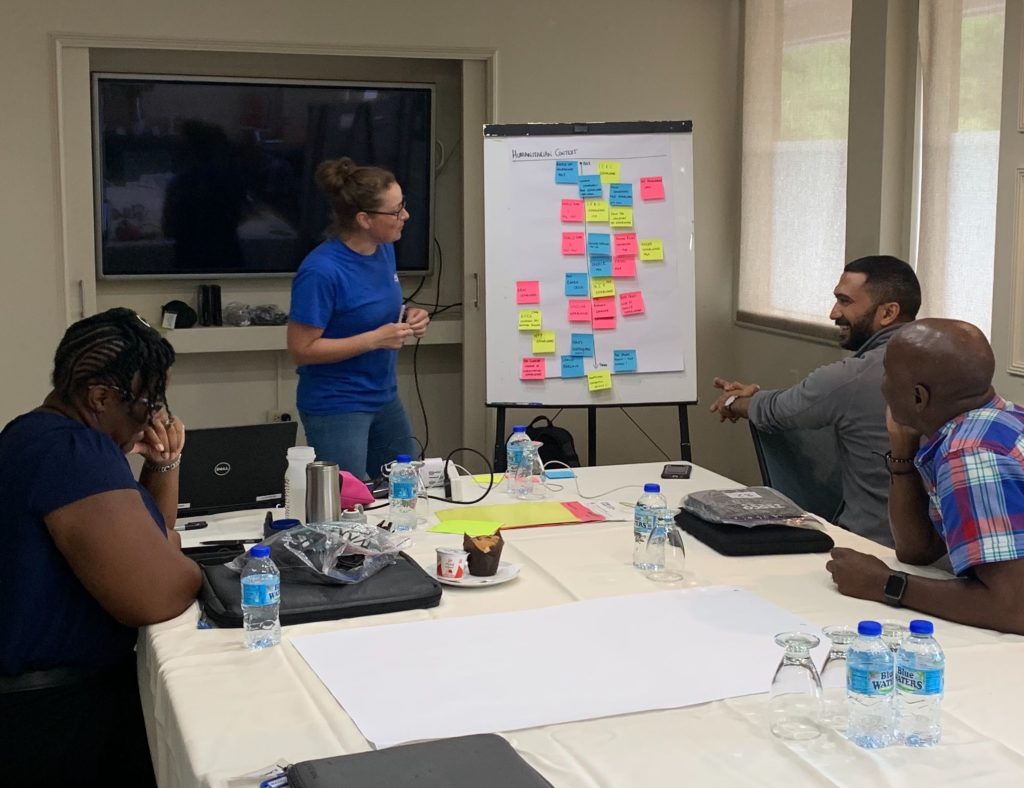
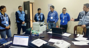
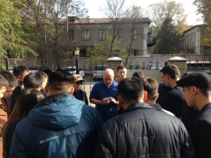 Last week three MapAction members were in Almaty delivering an introduction to humanitarian mapping course to representatives from civil defence teams from all regions of Kazakhstan.
 The training is part of a programme of joint activity with the Center for Emergency Situations and Disaster Risk Reduction (CESDRR). Our
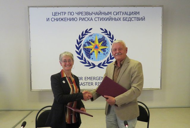
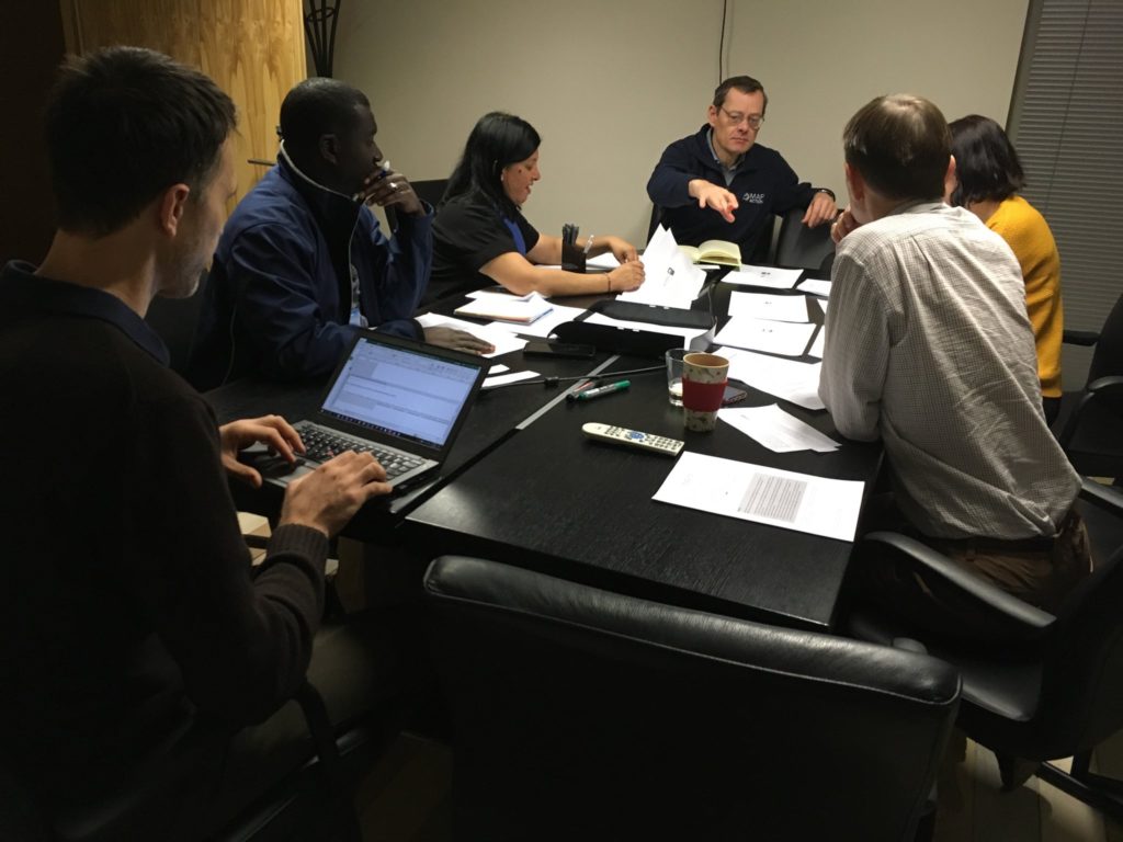
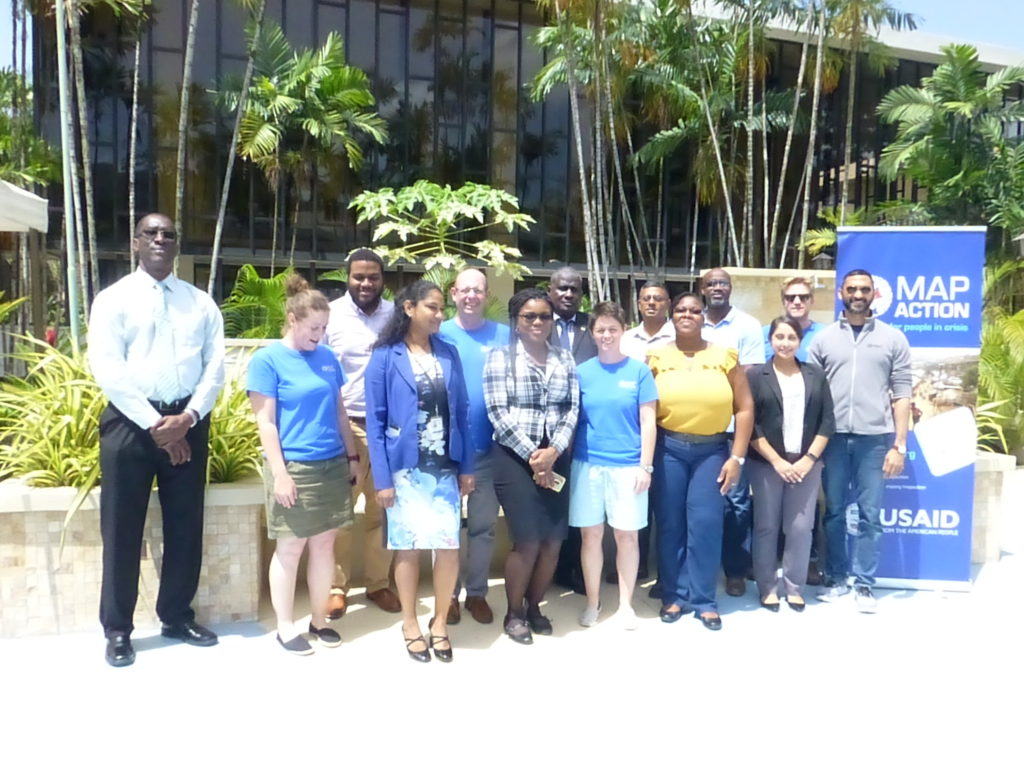
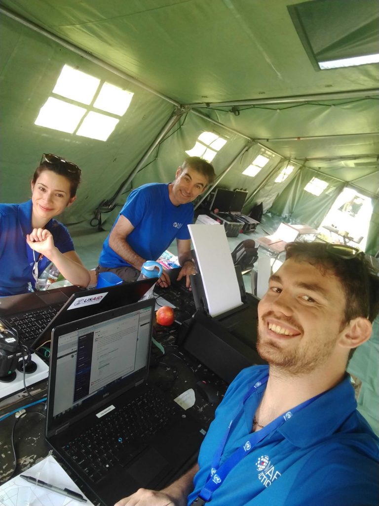
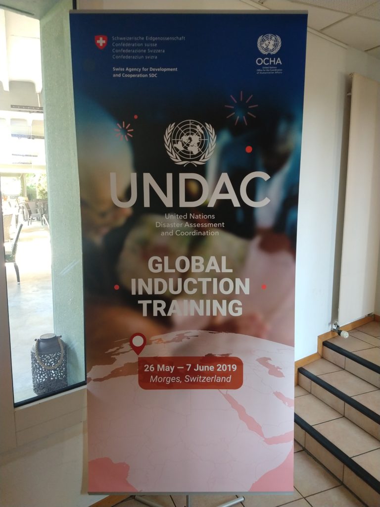
 Three MapAction volunteers have just returned from Morges in Switzerland where they were supporting an induction training course for the United Nations Disaster Assessment and Coordination (UNDAC).