Preparedness
Collaborating to apply the right technology, data and expertise to help anticipate and prepare for emergencies is an increasingly important part of our work.
Anticipatory action
A MapAction Data Scientist, based at the UN’s Centre for Humanitarian Data, has been working with the Centre’s Predictive Analytics Team, as well as other other partners, to help model the scale, severity and duration of the coronavirus outbreak within specific countries, including its likely effects on vulnerable groups. Also with the Centre, we have been collaborating to develop a methodology for early warning systems for floods and drought-related food insecurity.
MapAction is currently playing an active role in the development and improvement of humanitarian data sets in order to make essential data and geospatial products, such as maps, rapidly and reliably accessible to those responding to humanitarian crises. This major programme of work, referred to as our ‘Moonshot,’ sees us shifting the focus from reactive to proactive data sourcing and map production. Our aim is to provide the best maps possible – not just the best maps, given the time and data available and the prevailing circumstances in the midst of a humanitarian emergency.
“Your input leap-frogged us forward. It is amazing to me how quickly we were able to do this together. A round of applause for your work and its contribution to unlocking critically needed aid for Ethiopians.”
Josee Poirier, Predictive Analytics Technical Specialist, Centre for Humanitarian Data

MapAction also runs a range of preparedness projects that complement our rapid deployment capability. Specific projects seek to ensure that both MapAction and our partners can respond more quickly and improve information sharing in difficult operational contexts.
Projects, such as our recent web mapping development project, also ensure that technology is adapted to the demanding environments in which MapAction teams operate.
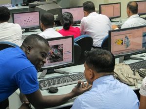
MapAction’s disaster preparedness activity is cost effective, trains others in mapping and data management methodologies, saves time and enables a wider base of people to provide maps in an emergency.
“We’ve had an awakening as to what GIS data can be used for.”
MapAction partner and training participant

