Contributing to excellence in emergency response

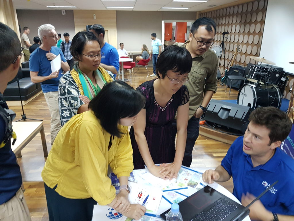
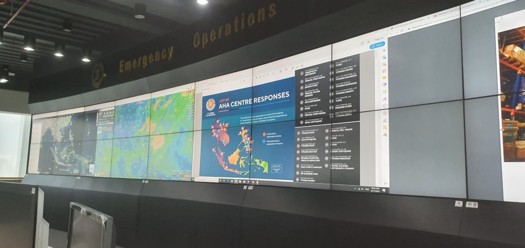
We are working with our colleagues in the Association of Southeast Asian Nations (ASEAN) Coordinating Centre for Humanitarian Assistance on Disaster Management (AHA Centre) to share valuable insights and experience, and to learn about how AHA is adapting and developing the expertise of its team.

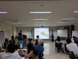
The centre recently ran a series of virtual sessions which provided the opportunity for graduate members of ASEAN’s Emergency Response and Assessment Team (ASEAN-ERAT) the chance to hone their technical skills and consult with experts. The programme also refreshed members’ memories and enhanced their technical competencies.

MapAction ran a session on response mapping which included guided tutorials and self-paced learning on how to make use of Excel and Google Earth in an emergency. Participants learned how to use the tools and techniques quickly and efficiently in the early stages of a response and how they might also support decision makers in the response teams. These techniques were built on during the other sessions led by AHA staff on data collection and analysis, data visualisation and developing information management dashboards. The sessions were tested during a four hour online simulation exercise.

The online course was composed of eight people from across the ASEAN region including Brunei, Laos, the Philippines and Indonesia who had graduated from previous courses. 

USAID logo
This work was made possible thanks to the generous support of the U.S. Agency for International Development as part of a programme to improve the use of geospatial analysis and services across the entire humanitarian response sector.

MapAction and the AHA Centre have signed a Memorandum of Intent with each other which formalises our joint efforts to help build mapping and information management capacity among humanitarian actors in the ASEAN region, as well as helping them prepare for disasters by putting in place essential geospatial information and resources. This training forms part of this ongoing activity.

Strengthening urban resilience with GNDR

MapAction’s strategy to 2023 aims to use geospatial technology and insight to bridge the gap between humanitarian need and available resources. We are doing this by, among other things, helping local, regional and global civil society networks to conduct their own geospatial analysis, and bolstering the resilience of urban communities to different types of crises.

aerial view of city landscape with many high-rise buildings

As part of our programme of work funded by USAID’s Bureau for Humanitarian Assistance (BHA), we are currently working with the Global Network of Civil Society Organisations for Disaster Reduction (GNDR) towards these two strategic objectives. GNDR is also midway through a BHA-funded programme entitled ‘Making Displacement Safer’ and we have aligned our targets in order to collaborate around our shared goals.

In the first phase of our collaboration with GNDR, MapAction intern Kelly Rutkowski targeted practical application of her research project within her Master of Science in Disasters, Adaptation, and Development to create a system framework for examining urban preparedness. She also mapped two case studies for GNDR in Khulna, Bangladesh and Garut, Indonesia.

We are now in the second phase of our collaboration, in which we are providing advice and support to GNDR’s civil society partners in Sri Lanka, Indonesia, Nepal and Niger for geographical analysis and mapping. The learning gained both supports GNDR’s programmes in urban areas and increases MapAction’s knowledge of how we further our own urban and civil society programmes.

Supporting United Nations training exercise in Indonesia

This week MapAction is in Sentul, Indonesia, to support an induction training course for the United Nations Disaster Assessment and Coordination (UNDAC).

As well as supporting an earthquake simulation exercise with mapping, three MapAction members are delivering training on GPS, information management and the use of maps for humanitarian response.

MapAction regularly provides training and support to UNDAC’s induction courses that take place around the world for new team members

Our participation in this training was made possible thanks to the support of the Office of US Foreign Disaster Assistance. OFDA provides us with grant funding to help us improve the use of maps, geographical information systems (GIS) and spatial analysis across the humanitarian sector to improve the impact of humanitarian aid.

Indonesia earthquake and tsunami

On Friday 28 September 2018, a 7.4 magnitude earthquake struck off Donggala Region, in the province of Central Sulawesi, Indonesia, causing extensive damage and triggering devastating mudflows and a tsunami. Over 1,200 people have been killed and more than 61,000 have been forced from their homes. Queues at petrol stations around Palu reportedly stretch for kilometres. Thousands of people have tried to flee via the city’s airport but only one flight a day is due to leave.

A three-person team of MapAction mapping volunteers in Indonesia at the the request of our partner the ASEAN Humanitarian Assistance Centre (AHA Centre) to help them coordinate the response. They will be ensuring that rescue and recovery workers have situation maps which are continually updated and reliable. We have also been providing remote support since the earthquake struck creating maps detailing essential information such as health and transport infrastructure. We’ve launched an appeal to fund this mission.