Earlier this year we embarked on a round of volunteer recruitment to find mapping and geographical information system (GIS) experts living and working in the Caribbean. The aim was to expand our small team in the region to ensure we are always well placed to help prepare for and respond to disasters and emergencies across the Caribbean, working with our close partner the Caribbean Disaster Emergency Management Agency (CDEMA). This includes pre-positioning personnel when necessary to provide mapping and data support in the event of severe tropical storms.
We are delighted to now welcome three exceptionally high-calibre volunteers who bring a tremendous amount of additional knowledge, expertise and energy to an already very strong Caribbean team.

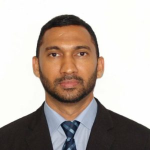
Deanesh Ramsewak
Deanesh lives in Trinidad and is a lecturer and researcher at the Centre for Maritime and Ocean Studies (CMOS) of the University of Trinidad and Tobago. He teaches GIS and remote sensing and has recently worked on a multi-agency research project funded by NASA, using drones for studying coastal ecosystems. His work has been published in international and regional journals and he is a fellow of the Royal Geographical Society.
My interest in MapAction began after the devastating 2010 Haiti earthquake. The response by MapAction volunteers to it, as well as to other Caribbean disasters since then, inspired me to join the humanitarian effort.
Deanesh Ramsewak
Deanesh also volunteers as a mentor for the Caribbean Youth Science Forum (CYSF), the longest standing non-formal STEM education programme in the region, as well as for a local non-profit organisation called Restore a Sense of I Can (RSC) which seeks to effect change through technology and education. In his free time he enjoys travelling, meeting new people, swimming and yoga.

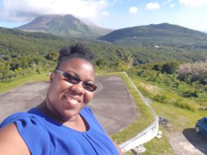
Lavern Ryan
Lavern is from the beautiful Caribbean island of Montserrat where she lives and works as a GIS Manager. She loves travelling, meeting new people and learning about new cultures. She especially loves star gazing!
Following the events of the 2017 hurricane season, I wanted to use my skills more to help mitigate against the impacts of disasters. When the call came for Caribbean GIS professionals to join MapAction, I was further inspired. I am passionate about GIS and I want to use my knowledge and skills to help people when they are most in need and to help to save lives. MapAction provides the platform for me to do just that!
Lavern Ryan

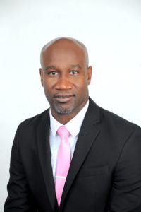
Mike Clerveaux
Mike is currently the Hazard Mitigation and GIS Specialist within the Department of Disaster Management and Emergencies (DDME), Turks and Caicos Islands. He is an Urban and Regional Planner by profession and holds a Masters degree in Built Environment with a specialisation in Geomatics. He joined the Disaster Management Team in 2016 and that same year was part of the CDEMA Regional Response Mechanism that was deployed to the Bahamas following Hurricane Matthew, which was when he first encountered MapAction.
Prior to joining DDME, Mike was a volunteer in Damage and Needs Assessment (DANA) as well as lead facilitator for them. Outside of Disaster Management, Mike is happily married with three girls. He enjoys carpentry and coaching basketball.
“Ever since Hurricane Matthew, I was eager to be a part of MapAction. I look forward to serving in this new capacity and being a part of the MapAction family.”
Mike Clerveaux
