COVID-19 has been tough for all of us but the development of COVID-19 vaccines should offer a lifeline to the whole world. However, for many, especially those in the world’s poorer countries, it’s yet to make an impact.
As part of the drive to provide equitable access to vaccines, international agencies involved in COVAX need to ensure that countries are ready to accept delivery and coordinate the roll-out.
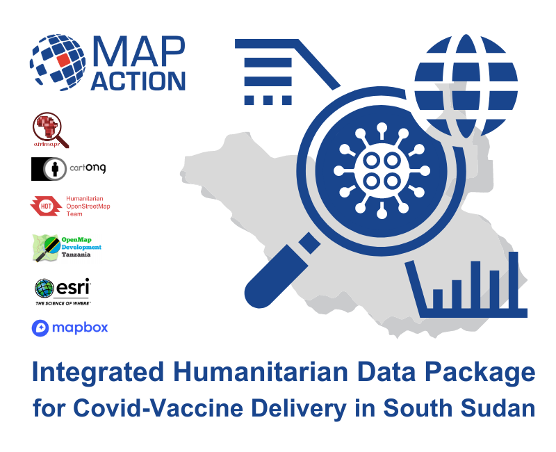
With this in mind, MapAction, with funding from the Calleva Foundation, partnered with expert geospatial colleagues from CartONG, OpenMap Development Tanzania, the Humanitarian OpenStreetMap Team, Afrimapr/LSTHM, Mapbox and Esri, to create a novel concept called the Integrated Humanitarian Data Package (IHDP). This aims to give quick and easy access to key geographic data that underpins the planning and delivery of vaccination programmes.
The single package contains not only selected data sets, but also information explaining the data (‘metadata’), together with a set of GIS (geographic information system) and coding tools to easily develop situation-specific items such as maps and other graphics, depending on user-need. This will give organisations managing vaccine delivery in vulnerable countries a running start, once vaccines become available.
Nick McWilliam, IHDP project lead at MapAction said, “High quality mapping and data analysis are key to understanding how many people need vaccinating, where they are, and how and where the vaccines can be safely stored and delivered. We know that access to good data is a major issue in many countries. Even where data exists, it’s frequently patchy and not in a format that is usable by most people, as well as lacking crucial information about the local context. The IHDP concept is intended to remove barriers to good information that are otherwise likely to hinder vaccine delivery.”
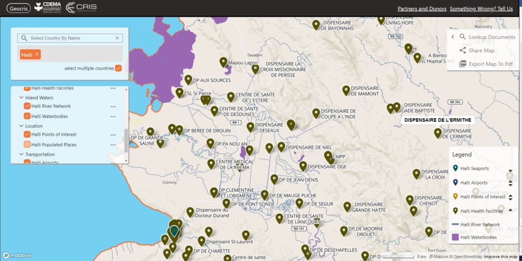
The pilot project focused on creating an IHDP for South Sudan, however, the lessons learned are applicable across many other countries where population information is often too poor for effective logistics.
The IHDP is designed to be used by non-GIS experts with coordination and management responsibilities and ensures that they can easily use good quality data in a readily usable format. It’s also designed to reduce the time and effort needed, removing barriers for responders so they can quickly understand and respond to often complex situations.
The data produced will be freely accessible via MapAction’s Map and Data repository and also published on The Africa GeoPortal.
“The COVID-19 pandemic created unprecedented demand for data in the humanitarian sector, but persistent data gaps remain. With every country in the world affected by COVID-19, the disparity in data availability in countries experiencing humanitarian crises became more clear.”
The State of Open Humanitarian Data, 2021: Assessing Data Availability Across Humanitarian Crises. OCHA Centre for Humanitarian Data and Humanitarian Data Exchange
We are also sharing this information amongst the humanitarian community and international agencies involved in the COVID-19 vaccine roll-out.
See a video interview with Nick McWilliam, IHDP Project Lead.