Strengthening urban resilience with GNDR

MapAction’s strategy to 2023 aims to use geospatial technology and insight to bridge the gap between humanitarian need and available resources. We are doing this by, among other things, helping local, regional and global civil society networks to conduct their own geospatial analysis, and bolstering the resilience of urban communities to different types of crises.

aerial view of city landscape with many high-rise buildings

As part of our programme of work funded by USAID’s Bureau for Humanitarian Assistance (BHA), we are currently working with the Global Network of Civil Society Organisations for Disaster Reduction (GNDR) towards these two strategic objectives. GNDR is also midway through a BHA-funded programme entitled ‘Making Displacement Safer’ and we have aligned our targets in order to collaborate around our shared goals.

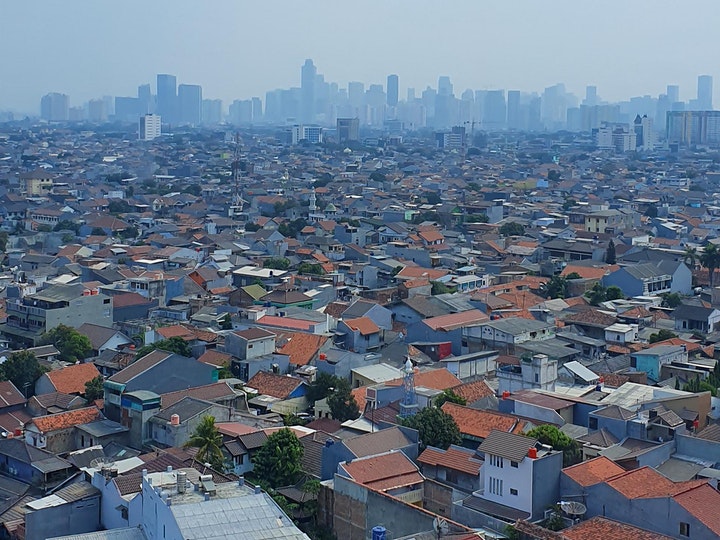
In the first phase of our collaboration with GNDR, MapAction intern Kelly Rutkowski targeted practical application of her research project within her Master of Science in Disasters, Adaptation, and Development to create a system framework for examining urban preparedness. She also mapped two case studies for GNDR in Khulna, Bangladesh and Garut, Indonesia.

We are now in the second phase of our collaboration, in which we are providing advice and support to GNDR’s civil society partners in Sri Lanka, Indonesia, Nepal and Niger for geographical analysis and mapping. The learning gained both supports GNDR’s programmes in urban areas and increases MapAction’s knowledge of how we further our own urban and civil society programmes.

MapAction contributes to webinar on emerging urban challenges

Aerial view across the suburbs of a city to the sky scrapers of the central business district on the horizon.

Two MapAction members contributed to a one-hour discussion of how use of collaborative networks and advances in geospatial technology can improve humanitarian outcomes in urban settings. Professor Melinda Laituri of Colorado State University and the Secondary Cities initiative was Chair of the event, with talks from Alan Mills and Chris Ewing, both of MapAction.  

Entitled Cities, humanitarianism and using geospatial analysis to mitigate risk, the online event looked at collaborative approaches to addressing global humanitarian issues.

Alan Mills and Chris Ewing shared insights gleaned from their work aimed at supporting urban resilience and emergency preparedness and response, in particular through working with, building, supporting and mobilising civil society networks. They also discussed recent technical innovations such as automated mapping.

This was followed by a question and answer session exploring some aspects further as questioned by the audience.

Chaired and Hosted by:

Speakers

  • Chris Ewing, MapAction Trustee and Volunteer – a keen physical geographer, Chris has over 10 years’ experience in the (re)insurance and engineering sectors. In his day job at Aon Impact Forecasting, Chris helps organizations better quantify natural catastrophe risk. He has volunteered with MapAction since 2007.
  • Alan Mills, MapAction Consultant and Volunteer – a volunteer since 2005 and former trustee, Alan also leads on building data preparedness partnerships. He has his own consultancy business specializing in GIS and remote sensing in international development and has 30 years experience in operations.

The full one hour Webinar can be viewed below.