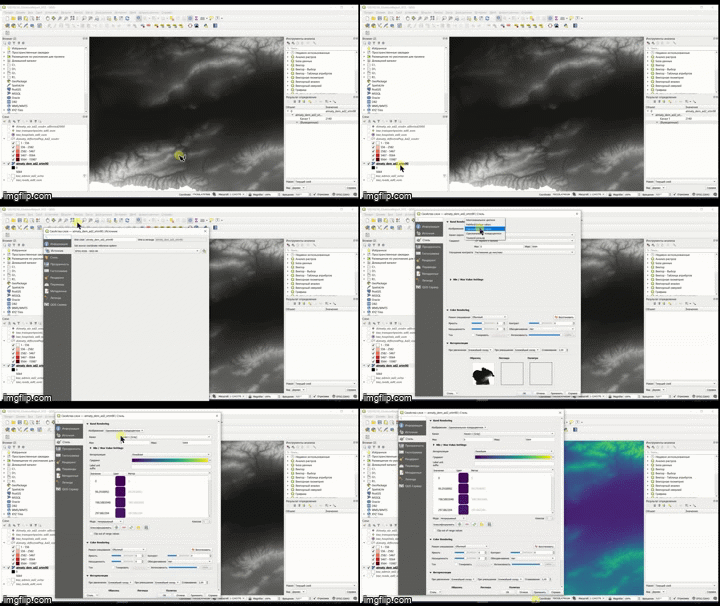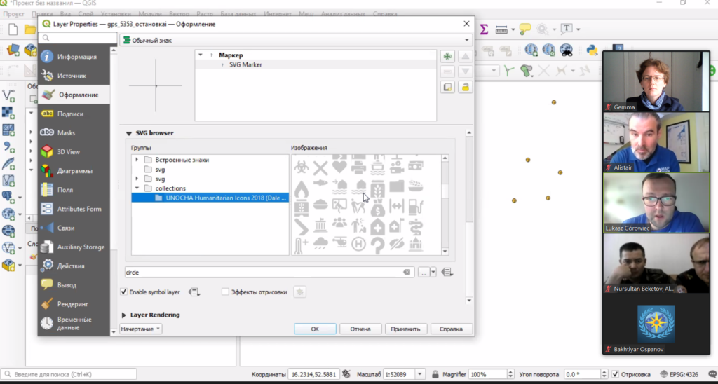
During April and May, MapAction is providing online training in mapping and data tools and techniques to emergency responders in Kyrgyzstan and Kazakhstan.
This is part of an ongoing programme of work with the Central Asian Center for Emergency Situations & Disaster Risk Reduction (CESDRR) to improve and expand disaster preparedness, relief and recovery activities across Central Asia through mapping and information management. The learning is being used, among other things, to support search and rescue operations and document regular situational overviews of emergencies, enabling more effective responses.

Earlier this month, around 40 participants from the Ministry of Emergency Situations of Kazakhstan took part in a three-day online course including videos, exercises and live interactive sessions, culminating in a disaster simulation exercise providing an opportunity to test out new-found skills. This was the first time this course, which is designed to give participants an understanding of what geographical information systems (GIS) are capable of and how to use the open source QGIS platform, has been delivered online and remotely. A substantial amount of work was involved in converting the course content into an digital format and translating it into Russian.

In May, MapAction is running Advanced Humanitarian Mapping training for a select group of emergency management professionals from Kazakhstan and Kyrgyzstan who have previously completed our introductory course and are ready to deepen their skills. The week-long, online course will cover data management, data preparedness and the different types of maps to use in particular emergency scenarios and phases.

We’re grateful to USAID’s Bureau for Humanitarian Assistance (BHA) for funding this work, which is bringing great benefits to humanitarian response across Central Asia.
Find out more about MapAction’s training and preparedness services >>
