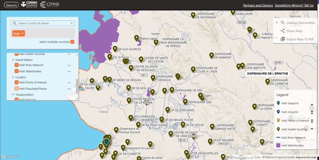
Launched today, the Caribbean Risk Information System (CRIS) is a “one stop shop” for gathering and sharing information and data on disaster risk management and climate change adaptation across the Caribbean region.
The CRIS platform has been created by the Caribbean Disaster Emergency Management Agency (CDEMA) in collaboration with the World Bank and other partners including MapAction, with financial support from the European Union (EU).
CRIS aims to support informed decision making by providing access to information on all types of hazards, including climate-induced hazards, as well as guidance on how to reduce risk, build disaster-resilient states and promote sustainable development. It consists of a Virtual Library, databases and the GeoCRIS – a geospatial component which provides access to geospatial data needed for risk and hazard mapping, disaster preparedness and response operations. Data from the Caribbean Handbook on Risk Information Management (CHaRIM) GeoNode has been integrated into the GeoCRIS to facilitate evidence-based decision making and development planning processes.

MapAction provided advice on strategic, technical and personnel issues related to creating the GeoCRIS, based on its years of experience of developing similar systems. We particularly assisted in defining
needs for data and tools to support the Rapid Needs Assistance Team (RNAT) and other rapid-response mechanisms within CDEMA as we have partnered alongside CDEMA following several devastating hurricanes in the past five years. We will also be helping CDEMA to train disaster management teams across the Caribbean region in using GeoCRIS once travel restrictions are lifted.
We’re grateful to the USAID’s Bureau for Humanitarian Assistance for funding our participation in this project.
You can view the CRIS launch presentation on the CDEMA Facebook page.
