MapAction is supporting national and local disaster management authorities to reduce and address the multiple risks faced, provide better early warning systems and facilitate risk-informed development. We kickstarted our work in Eswatini.
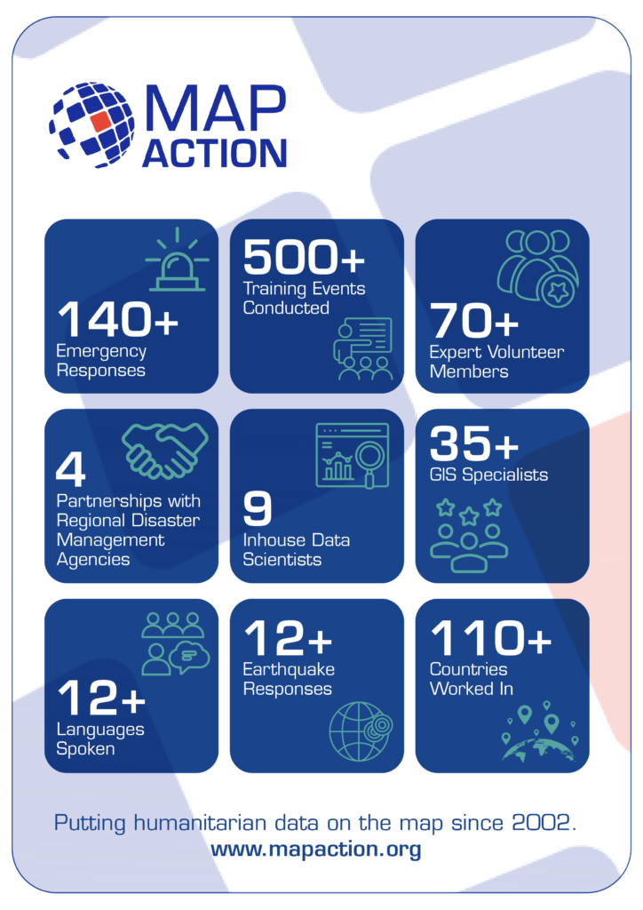
For nearly 20 years, in 140+ emergencies, MapAction has supported countries in mitigating disasters. Since July 2023, in partnership with the European Commission’s INFORM Risk Index, MapAction is working to support national and subnational disaster managers to update or rebuild their disaster forecasts, mitigating tools and risk atlases.
INFORM subnational risk models are an important source of information for anticipatory action, development and preparedness projects. Making sure that the models are high quality, with the best available data – and readily maintained, is essential.
In October 2023, MapAction began working with disaster authorities and international partners to build a risk and disaster model for Eswatini, a country in southern Africa with a population of just over one million. Building the risk model involves four technical processes: data collection, data processing, data calibration and data validation. All contribute to data quality control and the ‘authority’ of the model.
“We are really pleased to currently work with four regional disaster management agencies across Asia and Africa, as well as working with many national disaster management authorities,” says MapAction’s CEO Colin Rogers. “Working with regional and national structures is core to our approach in strengthening global humanitarian geospatial capability,” adds Rogers.
Fire extinguishers put out fires: fire alarms help prevent them. This risk assessment work is in partnership with various national and international partners, including: the Eswatini National Disaster Management Agency (NDMA), UNDP and German technical development agency GIZ and will serve as a basis for the future SADC regional model also developed by UNDP, GIZ and SADC country members.
“Address multiple risks”
“UNDP Eswatini is committed to working… to reduce and address multiple risks we are facing, provide better early warning systems and facilitate risk-informed development to progress towards aspirations and goals set in the National Development Plan,” said UNDP’s Eswatini Deputy Resident Representative Nessie Golakai, outlining the UN agency’s goals on anticipatory action, in December 2023.
Eswatini: risk overview
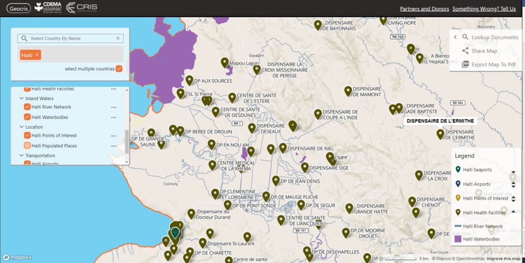
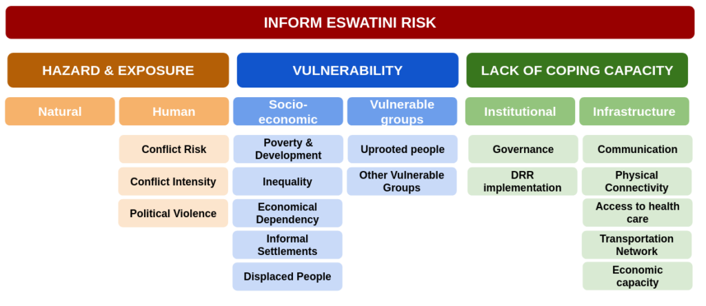
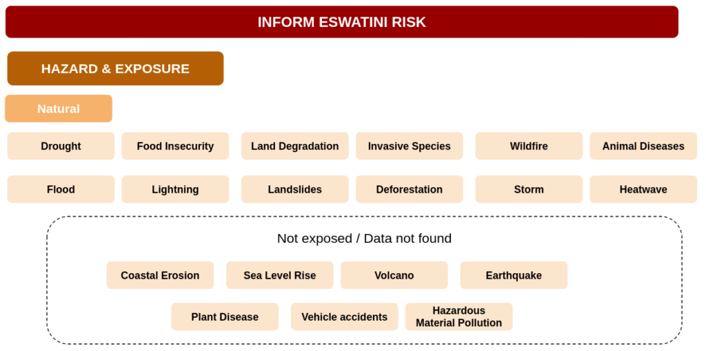
An INFORM Subnational risk index shows a detailed picture of risk and its components within a single region or country. It covers not only hazards exposure (e.g. earthquakes, floods and conflicts) but also a country’s vulnerabilities, such as diseases prevalence and poverty, as well as its coping capacity. Of particular interest for Eswatini are droughts and associated food insecurity issues. In 2023, 238,000 in Eswatini faced “acute food insecurity,” according to an IPC study reported on ReliefWeb. Eswatini also has the highest HIV prevalence in the world, according to data from the World Health Organisation (WHO).
READ ALSO: Eswatini, Climate Change Knowledge Portal
Four key data processes
For the first phase of strengthening Eswatini’s risk model, a consultation workshop took place in August 2023 bringing together national partners, SADC representatives, GIZ and UNDP. During the workshop, the model framework was defined, covering which indicators are most relevant for Eswatini and other SADC countries. A total of 87 indicators from 49 data sources were identified, including data from public international agencies such as the WHO, the Food and Agriculture Organisation of the United Nations (FAO) and the World Bank, as well as national ministries, agencies and databases.
Then comes the data processing. Data comes in different formats such as spreadsheets, pdf reports and geospatial vectors and rasters. The processing can be as easy as finding a given value for the adult literacy per region on a report or as complicated as manipulating several geospatial rasters and administrative boundaries to compute exposed population to flooding per sub-region.
Making data comprehensible
The data then needs to be calibrated. Values have different ranges and units, such as number of casualties, corruption index, immunisation rate or health facilities density. To be able to aggregate these values on a single index, a normalisation is needed, such as dividing all values by the maximum within a country or region. Once indicators are expressed in a common format (a value between 0 and 10) we can aggregate them to have one index per dimension (Hazards, Vulnerability and Capacity) and finally a single index per subnational zone.
READ ALSO: MapAction Data Science Lab: the story so far
These three steps all produce margins of error; in the final phase the data is reviewed and validated. In this phase, indicators are verified and where necessary, corrected. Partners from Eswatini made vital contributions to validate the overall results and methodologies and suggest improvements.
Handover and sustainability
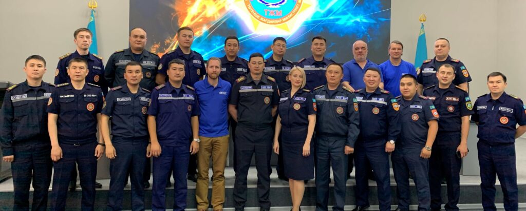
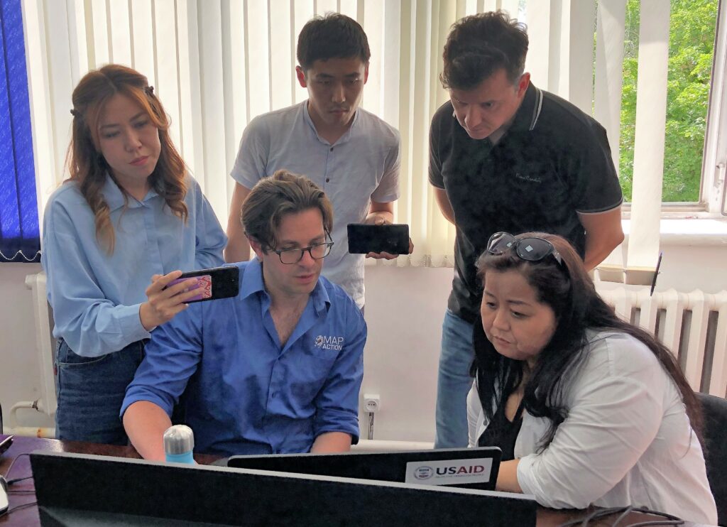
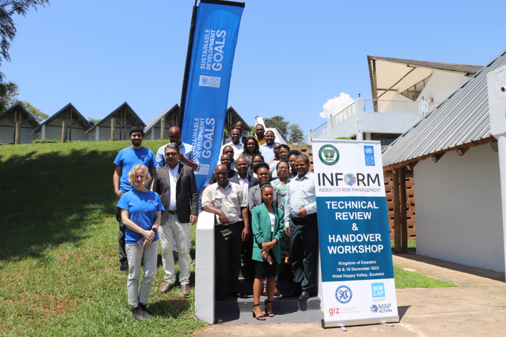
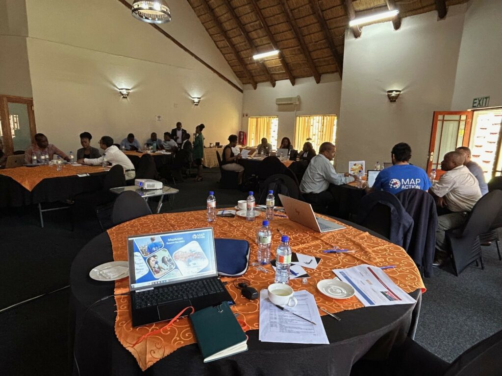
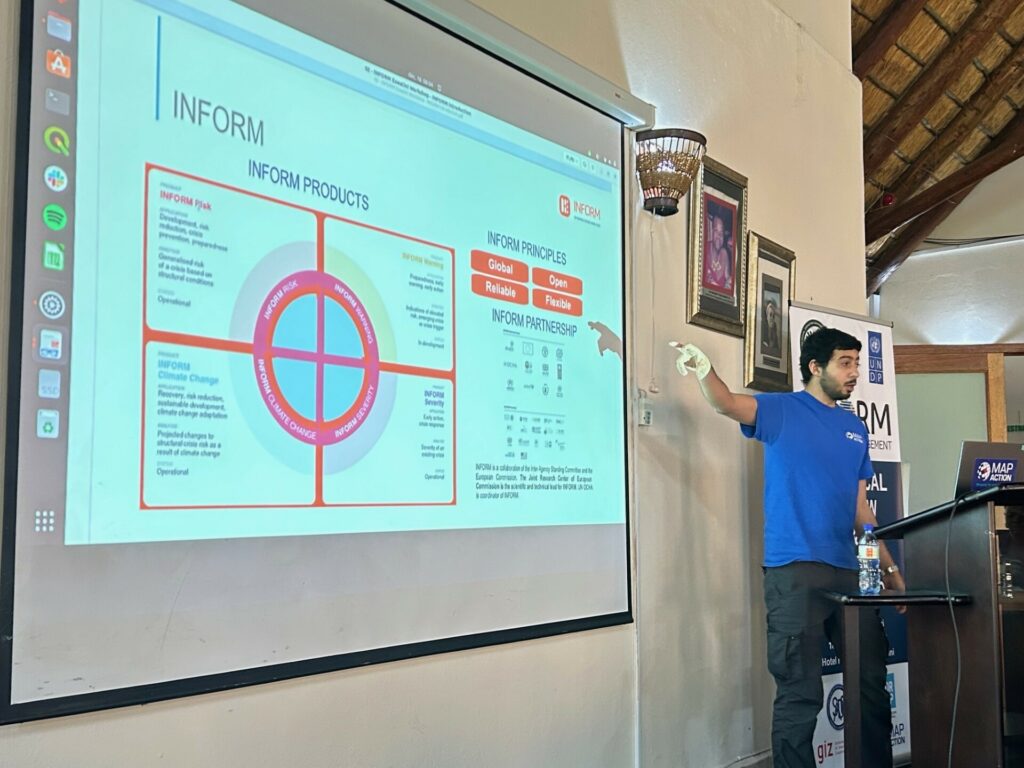
The work was presented to partners at a two-day handover workshop in Eswatini in December 2023 by MapAction’s Head of Data Science Daniel Soares, Senior Meal Advisor Samuel Asimi and Volunteer Anne-Marie Frankland. This handover workshop was intended for NDMA staff to take ownership of the model, while also validating it to identify improvements. The two-day event also incorporated professional development components pegged to the INFORM methodology with a practical focus on data collection, processing and calibration.
Our Head of #DataScience + team are attending the Technical Review & Handover Workshop as part of work on #disasterpreparedness with @UNDPEswatini, #INFORM and other partners. Part of #anticipatoryaction work funded by @GermanyDiplo https://t.co/nVGOuKVXjn
— MapAction (@mapaction) December 18, 2023
On a practical note, three ways also emerged from the event as to how the model would be used going forward.
- To support decision making on disaster preparedness, early action, disaster response and recovery.
- To determine the level of exposure and vulnerability of localities for improved policy recommendation and more effective DRR measures
- To coordinate data collection, storage and sharing in order to strengthen reporting and decision making based on scientific evidence. The data will be updated according to the agency’s needs, although MapAction’s recommendation is a complete update every 24 to 36 months.
MapAction’s work in Eswatini is part of a larger project supported by the German Federal Foreign Office to strengthen global anticipatory action frameworks at local level. MapAction will work with several countries on new subnational models for disaster preparedness in the course of the next 18 months.
Work has already begun on developing a new subnational risk model for Saint Kitts and Nevis. We are also currently scoping new collaborations for early 2024 in Madagascar, Vanuatu, Fiji and Lebanon.
Sustainability
A key part of the work MapAction does is to ensure the sustainability of various interventions we carry out across the globe. We do this through identifying and unblocking barriers in a collaborative way with our partners. The aim of this is to encourage the building of sustainable systems to outlive MapAction’s support to these partners who may be state or non-state actors.
In addition to the above, within MapAction’s Anticipatory Action programme, we seek to ensure longevity and sustainability by establishing effective evaluation frameworks and sharing lessons learned with the wider community.
During the 2023 December Workshop, one session on Sustainability was hosted by Samuel Asimi, who highlighted the sustainability components for the INFORM Eswatini Risk model.
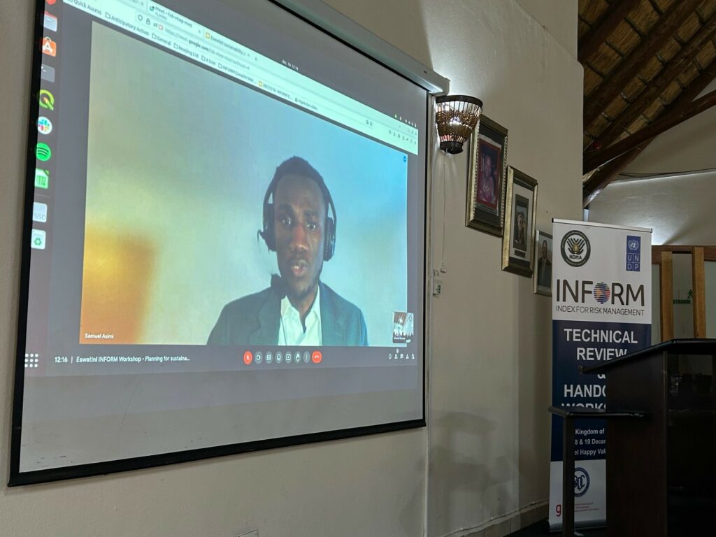
He noted that the handover workshop was the first of three components of the sustainability plan. The other two which will follow are the planned sustainability landscape mapping and the co-creation of an action plan. This initiative will be led by the NDMA and supported by MapAction.
This work was kindly supported by the German Federal Foreign Office and the Insurance Development Forum (IDF)