Earthquake exercise in Thailand

Photo: @OCHAAsiaPac

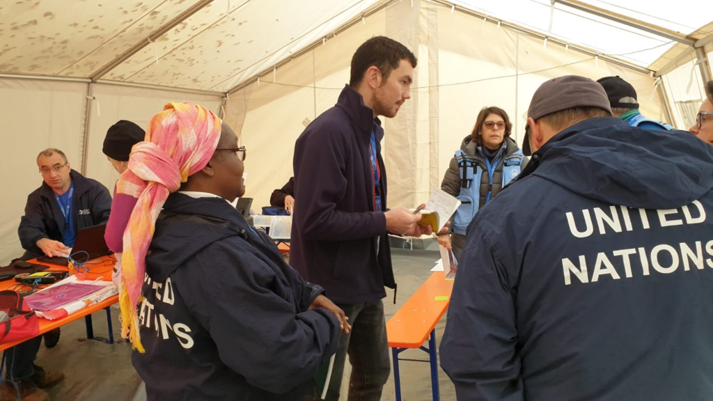
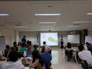
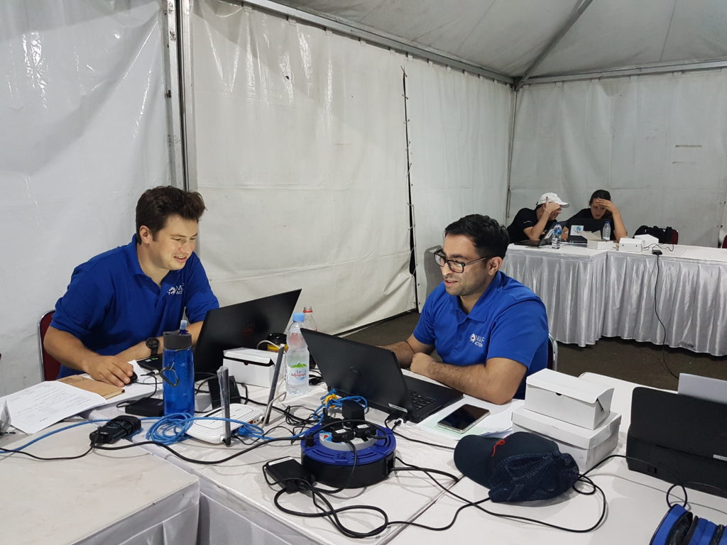
Three MapAction volunteers were in Chiang Mai, Thailand, this week, participating in an International Search and Rescue Advisory Group (INSARAG) earthquake simulation exercise involving over 400 participants from 27 countries.

The MapAction team provided maps to assist the coordination of the response to the realistic disaster scenario.

Thanks to the Office of U.S. Foreign Disaster Assistance for supporting this important disaster preparedness work.

UN Disaster Assessment and Coordination training

At the end of October, two MapAction volunteers participated in a UN Disaster Assessment and Coordination (UNDAC) refresher training course in Neuhausen, Germany. As well as presenting to participants on humanitarian mapping, they supported the simulation exercise with mapping.

These regular training courses enable all involved to enhance and update their skills and knowledge and share insights from disaster responses.

One MapAction participant described the course as a “fantastic week”, while the other described the UNDAC trainees as a “Really dedicated team with interesting first hand experiences from Idai and Dorian.”

We’re grateful to the Office of U.S. Foreign Disaster Assistance for supporting this important disaster preparedness work.

Supporting United Nations training exercise in Indonesia

This week MapAction is in Sentul, Indonesia, to support an induction training course for the United Nations Disaster Assessment and Coordination (UNDAC).

As well as supporting an earthquake simulation exercise with mapping, three MapAction members are delivering training on GPS, information management and the use of maps for humanitarian response.

MapAction regularly provides training and support to UNDAC’s induction courses that take place around the world for new team members

Our participation in this training was made possible thanks to the support of the Office of US Foreign Disaster Assistance. OFDA provides us with grant funding to help us improve the use of maps, geographical information systems (GIS) and spatial analysis across the humanitarian sector to improve the impact of humanitarian aid.

Training and mapping at ARDEX

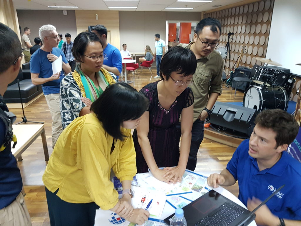
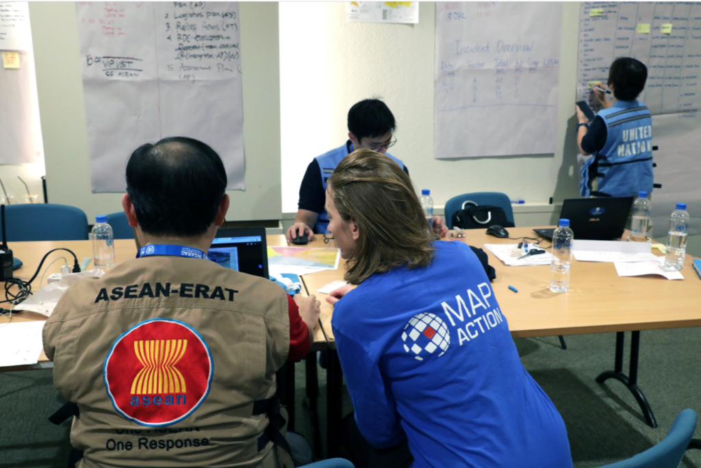
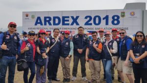
MapAction volunteer Ian Coady was in Banten, Indonesia, last week, with our partner the AHA Centre, which is the Association of Southeast Asian Nations (ASEAN) Coordinating Centre for Humanitarian Assistance on Disaster Management. Together they were taking part in the seventh ASEAN Regional Disaster Emergency Response Simulation Exercise (ARDEX).

As well as creating maps to support the AHA Centre’s coordination teams during the exercise, Ian provided training on the use of geographical information systems (GIS) and information management for humanitarian purposes.

Thanks to USAID’s Office of U.S. Foreign Disaster Assistance (OFDA) for supporting this important work.


MapAction’s largest training exercise of the year

On 8-10 June 2018, MapAction held its annual disaster simulation training exercise for volunteers. This year’s event recreated the chaotic atmosphere of a complex humanitarian emergency with health, food, water and sanitation insecurity in the fictional, war-torn country of Albia.

The aim of the exercise is to help MapAction’s highly skilled mapping volunteers practice different aspects of their vital work helping get the right aid to the right people in a humanitarian emergency. Over 60 MapAction members took part, along with people from a number of other organisations, including the UK’s Department for International Development (DFID), the United Nations Office for the Coordination of Humanitarian Affairs (UN OCHA), Milton Keynes NHS Hospital Trust, Buckinghamshire Fire & Rescue Service and Save the Children.

The simulation gives the entire team a chance to rehearse every aspect of a typical mission. A continual stream of planned requests, interruptions and and events means that, as in reality, making maps is only one aspect of an effective mission. The Gilded exercise is the largest and longest of 12 annual training courses that MapAction runs for its members every year, of which deployable volunteers are expected to attend at least seven.

MapAction volunteers support UNDAC induction training

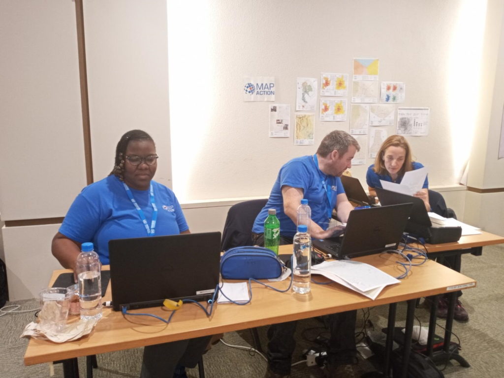
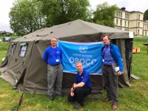
Three MapAction volunteers have just returned from Morges in Switzerland where they were supporting an induction training course for the United Nations Disaster Assessment and Coordination (UNDAC).

As well as supporting a simulation exercise with mapping, Karl Hennermann, Johnathan Gatward and David Collins delivered training on GPS, information management and the use of maps for humanitarian response.

Our participation in this training was made possible thanks to the generous support of the United States Agency for International Development (USAID) which provides us with grant funding to help us improve the use of maps, geographical information systems (GIS) and spatial analysis across the humanitarian sector.