At the end of August and beginning of September, Tropical Storm PODUL and Tropical Depression KAJIKI caused heavy rain in the Lao People’s Democratic Republic. This resulted in flooding in six provinces in the southern part of the country. 1,658 villages across 47 Districts have been affected.
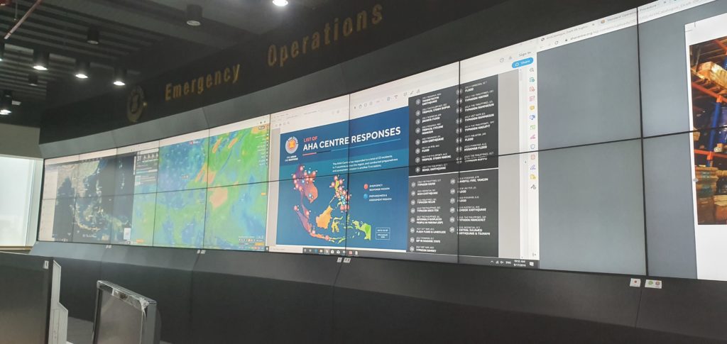
A MapAction volunteer is currently working in the Association of Southeast Asian Nations (ASEAN) Emergency Operations Centre in Jakarta to support our partner the AHA CENTRE as they assist the response. He is supporting the Emergency Response Assessment Team by mapping the evolving situation on the ground, conducting geospatial analysis to compare with 2018 flash flooding in the region, and helping to identify gaps in coverage to help get aid where it’s most needed. This also involves establishing information management and GIS systems and templates for Lao that will be useful beyond the current emergency.
We’re very grateful to the German Federal Foreign Office for supporting this work.