Contributing to excellence in emergency response

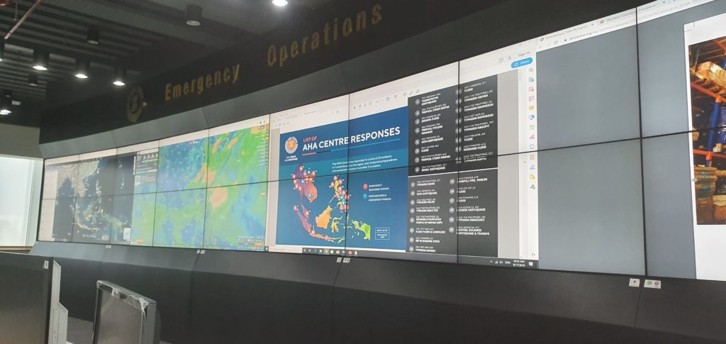
We are working with our colleagues in the Association of Southeast Asian Nations (ASEAN) Coordinating Centre for Humanitarian Assistance on Disaster Management (AHA Centre) to share valuable insights and experience, and to learn about how AHA is adapting and developing the expertise of its team.

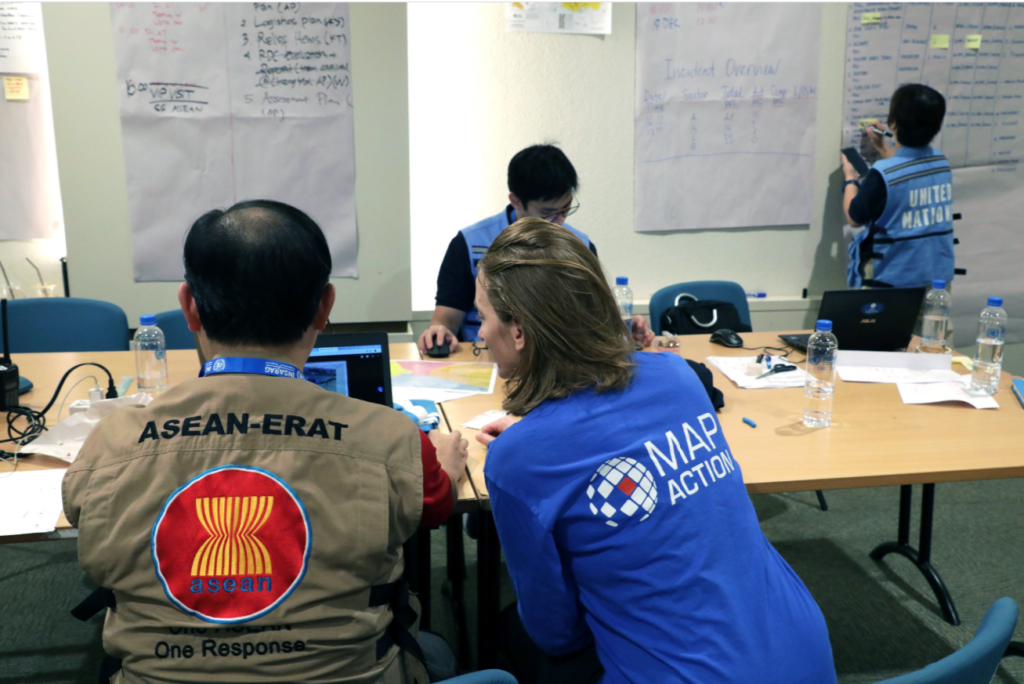
The centre recently ran a series of virtual sessions which provided the opportunity for graduate members of ASEAN’s Emergency Response and Assessment Team (ASEAN-ERAT) the chance to hone their technical skills and consult with experts. The programme also refreshed members’ memories and enhanced their technical competencies.

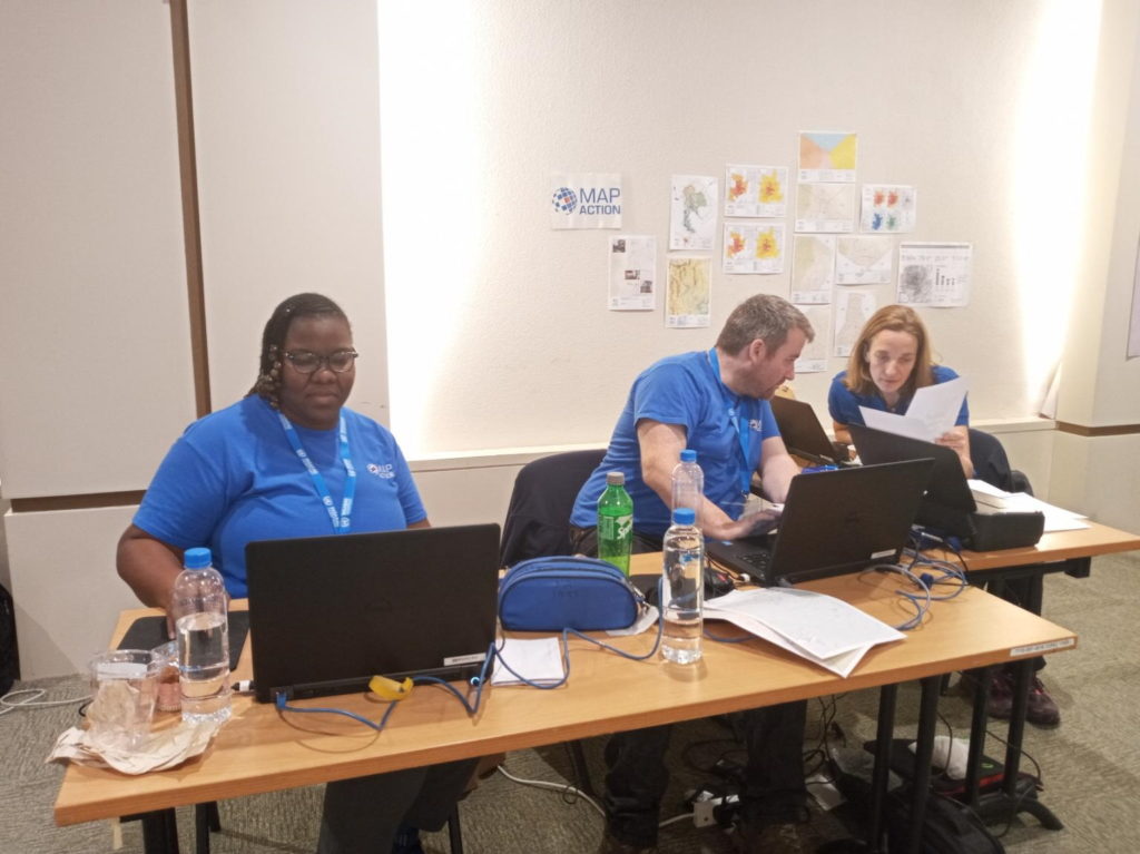
MapAction ran a session on response mapping which included guided tutorials and self-paced learning on how to make use of Excel and Google Earth in an emergency. Participants learned how to use the tools and techniques quickly and efficiently in the early stages of a response and how they might also support decision makers in the response teams. These techniques were built on during the other sessions led by AHA staff on data collection and analysis, data visualisation and developing information management dashboards. The sessions were tested during a four hour online simulation exercise.

The online course was composed of eight people from across the ASEAN region including Brunei, Laos, the Philippines and Indonesia who had graduated from previous courses. 
USAID logo
This work was made possible thanks to the generous support of the U.S. Agency for International Development as part of a programme to improve the use of geospatial analysis and services across the entire humanitarian response sector.

MapAction and the AHA Centre have signed a Memorandum of Intent with each other which formalises our joint efforts to help build mapping and information management capacity among humanitarian actors in the ASEAN region, as well as helping them prepare for disasters by putting in place essential geospatial information and resources. This training forms part of this ongoing activity.

MapAction provides support to Hurricane Eta and Typhoon Goni responses

MapAction teams are in action again, this time providing support to the humanitarian responses to Hurricane Eta in Central America and Tropical Typhoon Goni in South East Asia.

Hurricane Eta – A coordinated team of MapAction GIS volunteers is working remotely in support of UN OCHA’s Regional Office for Latin America and Caribbean (ROLAC) as they coordinate the humanitarian response across Central America in the wake of Hurricane Eta. Over 1.8 million people have been affected across Nicaragua, Honduras, Guatemala, El Salvador and Belize. 

Honduras: Tropical Storm Eta Municipalities affected (November 7, 2020) – Honduras

The team are already delivering mapping support for the immediate aftermath of the hurricane and are preparing to deliver 3W and flood mapping.  It is anticipated that further support may also be required with this fast developing situation and we are standing by for requests. You can see the maps and other products produced so far here. You can see further MapAction-aided products on the Reliefweb site.  

Hurricane ETA is a Category 4 hurricane that made landfall in Nicaragua on Tuesday Nov 3rd and moved north through Honduras, Guatemala, El Salvador and then Belize. Eta is now a Tropical Storm and is due to hit Cuba in the next 24 hours. The Central American region has suffered widespread flooding, storm surges and landslides. Honduras, Nicaragua and Panama are under red alerts. Guatemala has also been severely affected. For further situation information see the most recent OCHA needs snapshot and Relief Web update.

MapAction is grateful to the German Federal Foreign Office for supporting our response, as well as to the Netherlands Ministry of Foreign Affairs and the UK FCDO for their continued support of MapAction’s response capacity. 

Tropical Cyclone Goni – This typhoon is affecting people across the Philippines and Vietnam. A member of the team is supporting MapAction partner the AHA Centre (ASEAN Coordinating Centre for Humanitarian Assistance on Disaster Management) as it coordinates the response. You can see the maps and other products here. You can see further products on the Reliefweb site

As UN assessment teams make their way to some of the hardest hit areas, a clearer picture of Typhoon Goni’s impact (known locally as Rolly), which made landfall in the Philippines on Sunday, is emerging. The UN OCHA office reported that as of 6 November, around 1.2 million people (more than 312,500 families) across seven regions have been directly impacted by the disaster. “As more than 21,000 homes were destroyed, many families will remain in long-term displacement,” it reported.

Earthquake exercise in Thailand

Photo: @OCHAAsiaPac

Three MapAction volunteers were in Chiang Mai, Thailand, this week, participating in an International Search and Rescue Advisory Group (INSARAG) earthquake simulation exercise involving over 400 participants from 27 countries.

The MapAction team provided maps to assist the coordination of the response to the realistic disaster scenario.

Thanks to the Office of U.S. Foreign Disaster Assistance for supporting this important disaster preparedness work.

Emergency response training in Indonesia

Two MapAction members have just returned from Sentul, Indonesia, where they have been working with our ASEAN (Association of Southeast Asian Nations) partners to help provide training to new members of the ASEAN Emergency Response and Assessment Team (ERAT).

MapAction volunteer Raquel Martin described it as a “Fantastic experience…  An honour and a pleasure to contribute as a facilitator.”

Our participation was part of our joint programme of work with the AHA Centre (the ASEAN Coordinating Centre for Humanitarian Assistance on disaster management) to build mapping and information management capacity among humanitarian actors in the ASEAN region, as well as helping them to prepare for disasters by putting in place essential geospatial information and resources. This work is supported by the Office of US Foreign Disaster Assistance (USAID OFDA).

Since the formalisation of our joint-working relationship with the AHA Centre last year, we have provided in-country and remote assistance to emergencies including Typhoon Mangkhut, the Sulawesi Earthquake and floods in Laos.