Putting children on the map in West and Central Africa through geo-spatial analysis

UNICEF, CartONG and MapAction are announcing a new partnership in six countries: Cameroon, Chad, Côte d’Ivoire, Guinea, Mali and Nigeria. The ‘Reach the Unreached’ initiative aims to use analysis of geographic information (GIS) to find families that may be overlooked by those providing services such as birth registration and vaccination. 

Opening workshop in Senegal.

When traditional ways of identifying and registering people’s existence fail, such as government census and birth registration, children risk missing out on vital services like vaccination and receiving birth certificates. Africa is home to 91 million children under the age of 5 without a birth certificate, according to UNICEF data. In 2022 in West and Central Africa, 4.4 million children did not receive a single dose of vaccine, out of about 20 million children. Children lacking a legal identity risk not being included in planning for service provision. 

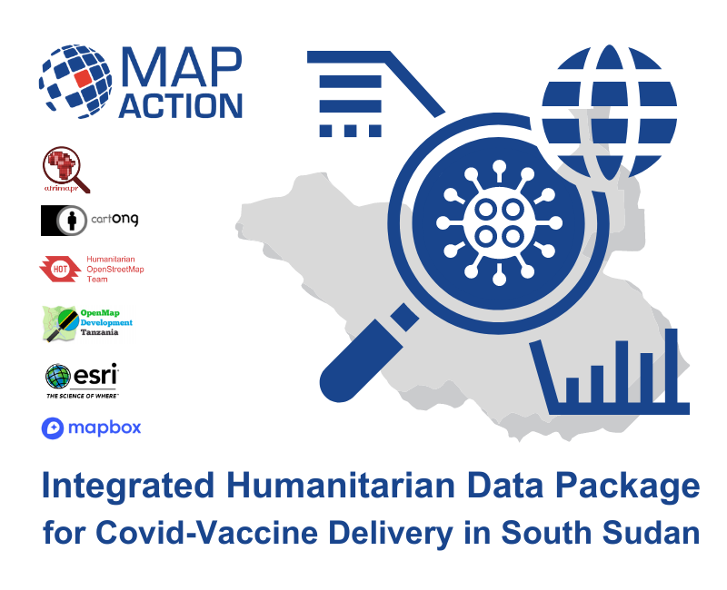
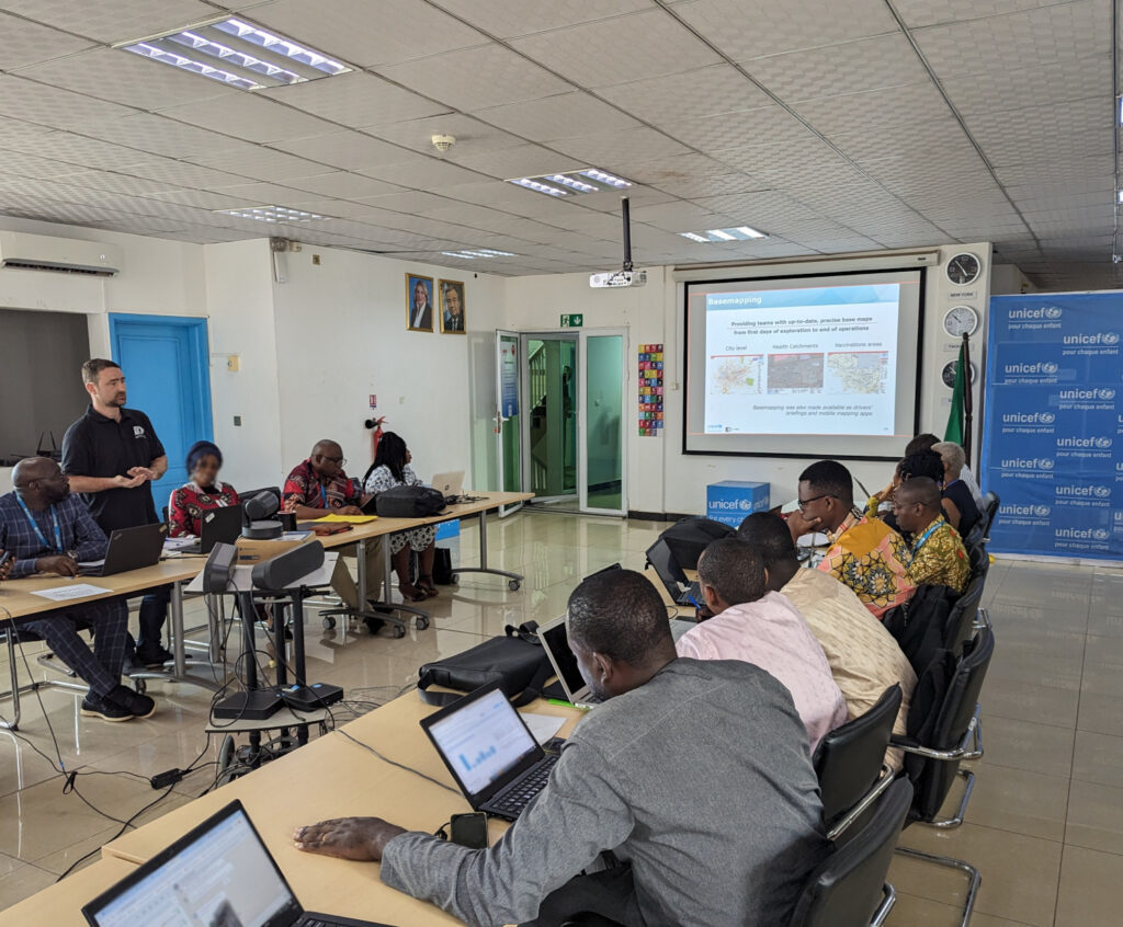
To address the problem, UNICEF is working with partners MapAction and CartONG, humanitarian GIS specialists, to help health ministries and their supporting national partners, make data-informed decisions to vaccinate children and ensure the necessary lifelong health assistance. 

READ ALSO: Ode to a geospatial humanitarian partnership and shared values

LIRE AUSSI: Partenariat Humanitaire Géospatial Et Valeurs Partagées : Un Hymne À L’action

UNICEF aims to provide the six countries with spatial data and GIS tools, namely maps and dashboards. This will help local authorities and stakeholders locate unreached children that do not access basic services. The data can then assist in decision-making for improving health planning, immunisation and birth registration.

Beyond mapping unreached children, the project will focus on different activities in each country. These will include spatial data collection and assessment, with a focus on health catchment areas, as well as the production of maps and data visualisation tools. The methodology will be documented throughout, alongside extensive capacity building, to enhance sustainability of the tools and methodologies developed.

A meeting of stakeholders in Cameroon. Photo: CartONG.

“We are thrilled to embark on this transformative journey, supporting efforts to light the way for the unseen and ensuring every child’s right to health and identity in West Africa through GIS innovation,” says Naomi Morris, Health Programme Manager for MapAction. 

“After several years of fruitful collaboration with UNICEF and MapAction, we are delighted to embark on this new project, which shows once again the transformative role GIS solutions can have in facilitating decision-making, especially in hard-to-reach areas,” adds Marie Beeckman, Project Lead from CartONG.

Once information is available, UNICEF works with local authorities to help the identified unregistered members of those communities to access birth registration certificates, life-saving vaccination and other services. 

So far the work has taken in scoping trips and landscape mapping of stakeholders in Cameroon. The next focus countries will be Côte d’Ivoire and Mali. Later in 2024, MapAction and CartONG will start similar activities in Chad, Guinea and Nigeria.

What is MapAction? Video

Cet article est également disponible en français grâce à notre partenaire CartONG.

Mettre les enfants sur la carte en Afrique de l’Ouest et du Centre grâce à l’analyse géospatiale

This work is supported by UNICEF.

MapAction signs WHO partnership agreement underlining growing support for health emergencies

Image by Gerd Altmann from Pixabay

MapAction has signed the Standby Partnership Agreement with the World Health Organisation (WHO) which will allow the UK-based emergency response and disaster preparedness charity to have greater impact in health emergencies. 

The agreement will see MapAction volunteers ready on standby to deploy to any health emergency operations at the request of the WHO. This will help bring the organisation’s unique data-driven approach to saving lives in even more health crises worldwide. 

The Standby Partnership Agreement will streamline and simplify how MapAction can deploy to WHO emergency operations at short notice. The agreement states that MapAction will “maintain a roster of standby personnel….for the rapid mobilisation and deployment of pre-screened individuals…to WHO emergency operations.” 

“We will provide some surge support that will be relevant to WHO emergency operations,” MapAction’s CEO Liz Hughes says of the agreement, noting that it is an important step to being able to deploy faster and more efficiently alongside WHO teams in emergency operations. “We have a growing knowledge of health needs through our own work” adds MapAction’s CEO. 

MapAction has already lent data management, geospatial and mapping support in 13 health-related emergency deployments worldwide since 2014. Teams of volunteers from the Oxfordshire-based charity were involved in providing support in the Ebola crisis in West Africa, as well as during the more recent COVID-19 pandemic. A team of MapAction volunteers is also currently working on a project to reduce the impacts of cholera in Malawi. 

MapAction personnel have also contributed to a leading sector title on how to respond to health emergencies (In Control: A Practical Handbook for Professionals Working in Health Emergencies Internationally).  

Besides deployments to emergency health crises, MapAction has also developed, with partners, the Integrated Humanitarian Data Package (IHDP) tool, designed to aid final mile vaccine delivery planning and logistics. It contains selected data sets, information explaining the data (‘metadata’) as well as GIS and coding tools which allow users to easily develop situation-specific items such as maps and other graphics. 

The IHDP was trialled during the roll out of COVID-19 vaccines in South Sudan.

It was adapted in Burundi in late 2022 to combat the impacts of malaria. 

MapAction partners to support COVID-19 vaccine delivery

Administering billions of shots of COVID-19 vaccine around the world is a logistical challenge of unprecedented proportions. It is even more complex in countries lacking basic healthcare infrastructure, cold storage or comprehensive transport networks, or where accurate population information is not available.

Understanding how geospatial analysis can help, MapAction is partnering with other geographic information specialists to help coordinate the delivery of COVID-19 vaccines in 15 low-income countries with acute humanitarian needs. 

The Geographic Information Management Initiative for COVID-19 Vaccine Delivery (GIM Initiative), which launches today, aims to help local partners tackle critical issues such as the selection of distribution sites, the planning of healthcare workers’ journeys to remote locations when no up-to-date maps exist, how to record doses and follow up with vaccinated people, and challenges around accessing the most vulnerable communities, including settlements that aren’t yet mapped. 

MapAction is joined in the GIM Initiative by Alcis, CartONG, Humanitarian OpenStreetMap and iMMAP.

Interactive map shows violence and threats to health workers during COVID-19

Screen shot of interactive web map

The increase in the number of security incidents affecting healthcare workers during the COVID-19 pandemic has been highlighted in an interactive web map launched today.

Incidents include the arson of COVID-19 testing facilities, the targeting of health workers on their way home from clinics, and violent responses to mask requirements.

Developed by Insecurity Insight, a non-profit which works to examine threats facing those living and working in dangerous environments, and MapAction, the user-friendly map is intended to support the aims of the Safeguarding Health In Conflict Coalition.

Christina Wille, Managing Director, Insecurity Insight, commented, “This tool gives stakeholders concerned with the protection of health care global insight into COVID-related incidents of threats and violence against health care providers to support better protection of health workers.”

The map depicts 412 acts of pandemic-related violence and threats to health workers and services around the world in 2020 out of a total of 1,172 incidents. Because not all incidents are reported or recorded, the actual number is likely to have been significantly higher.

To create the map, MapAction needed to consolidate the data available – which is often in indigestible formats and from multiple sources – understand the geographical context and visualise it. We brought our considerable experience in humanitarian mapping, information management, and solution design to the project, ensuring the information architecture is a stable platform that is easy to manage, while allowing for future adaptations and enhancements to be seamlessly integrated.

Christina continued, “We are working with MapAction to expand the map’s functionality and develop a similar tool for the education sector and other areas, as well as a map on security incidents affecting aid operations in Mozambique.”

View the press release here.

MapAction contributes to new health emergencies handbook

In Control hardback book

Over 50 authors, including two MapAction team members, have contributed their expertise and insight about working in health emergencies to a new handbook for humanitarian professionals.

Spearheaded by the Robert Koch Institute, In Control: A Practical Handbook for Professionals Working in Health Emergencies Internationally is aimed at preparing and supporting those deploying internationally during humanitarian crises.

Addressing the multi-faceted challenges of an international deployment, the book provides technical medical information as well as insights into the challenging environments volunteers often work in and the cultural differences that influence risk communication.

The book is divided into two halves, with the first providing an overview of the international architecture and inter-disciplinary environment within which health emergency responses occur. These include the organisations, principles, frameworks and themes that every health professional deploying aboard should be aware of. The second half of the book provides practical advice to help professionals survive and thrive during their mission. Chapters include how to prepare for a deployment, such as arrangements that should be taken care of ahead of departure, and suggestions on what to pack.

Infographic: coordinate system; units; source; triangulate; absent values; restrictions; date
Checks to incoming data can easily be remembered
using the acronym CUSTARD.

Information management & visualisation

As part of their contribution (in chapter 3, starting at page 200), MapAction’s Matt Sims and Alan Mills shared how important data visualisations are in making well-informed decisions and the importance of identifying information gaps to ensure those who may need assistance are not overlooked.

Also covered in their chapter are the questions that responders should be asking themselves when handling data, such as whether it identifies the location of vulnerable individuals or groups; how the data is stored and protected; and what will be produced from the data, among other considerations.  

Hard copies of the book can be requested by emailing the Robert Koch Institut.

Helping WHO with mapping in Libya and Chad

MapAction volunteers have been supporting the World Health Organization (WHO) in Libya and Chad to process and map data about health and sanitation services, in order to support the response to COVID-19.

The volunteers have been working remotely, alongside each country’s health cluster (networks of WHO partners that work together to relieve suffering and save lives in humanitarian emergencies). They have been helping to identify and map what healthcare, water and sanitation services and aid are being provided, by whom, when and where. This is known as 4W mapping and is important to help identify gaps and avoid duplication.

We are now looking at providing similar assistance to WHO in other parts of North and Central Africa.

COVID-19 government measures dashboard

We’ve helped ACAPS to put together a dashboard showing government measures being taken around the world. Data can be filtered by region, country, type of measure and timeframe.

Screenshot of government measures dashboard

We will be updating this twice a week. In the meantime ACAPS, MapAction and other organisations are looking at further topics to develop analysis for. 

Report into COVID-19 government measures worldwide

Map of countries with COVID-19 public health measures as of 17/3/2020

The first bulletin in a series about measures adopted by governments in response to COVID-19, as well as potential impacts on ongoing humanitarian operations, has now been published by ACAPS.

MapAction is collaborating with ACAPS and other partners to provide analysis, maps and visualisations of the pandemic as it evolves to assist governments and aid agencies in their response.

Map of countries with social distancing measures as of 17/3/2020

Supporting ACAPS’ analyses of COVID-19 government responses

Since last week, we have been working with our partner ACAPS, the independent humanitarian analysis organisation, to support their efforts looking at the longer term humanitarian effects of COVID-19.

Every Wednesday, starting today, ACAPS will be publishing a weekly bulletin about government measures around the world in relation to the virus. MapAction is assisting this work with analysis, mapping and visualisations of the collected data. The data is also being published via the Humanitarian Data Exchange (HDX).

This information will enable teams planning the response to the pandemic around the world to see what steps are being taken in different countries and what the impacts of those measures are.