Putting children on the map in West and Central Africa through geo-spatial analysis

UNICEF, CartONG and MapAction are announcing a new partnership in six countries: Cameroon, Chad, Côte d’Ivoire, Guinea, Mali and Nigeria. The ‘Reach the Unreached’ initiative aims to use analysis of geographic information (GIS) to find families that may be overlooked by those providing services such as birth registration and vaccination. 

Opening workshop in Senegal.

When traditional ways of identifying and registering people’s existence fail, such as government census and birth registration, children risk missing out on vital services like vaccination and receiving birth certificates. Africa is home to 91 million children under the age of 5 without a birth certificate, according to UNICEF data. In 2022 in West and Central Africa, 4.4 million children did not receive a single dose of vaccine, out of about 20 million children. Children lacking a legal identity risk not being included in planning for service provision. 

To address the problem, UNICEF is working with partners MapAction and CartONG, humanitarian GIS specialists, to help health ministries and their supporting national partners, make data-informed decisions to vaccinate children and ensure the necessary lifelong health assistance. 

READ ALSO: Ode to a geospatial humanitarian partnership and shared values

LIRE AUSSI: Partenariat Humanitaire Géospatial Et Valeurs Partagées : Un Hymne À L’action

UNICEF aims to provide the six countries with spatial data and GIS tools, namely maps and dashboards. This will help local authorities and stakeholders locate unreached children that do not access basic services. The data can then assist in decision-making for improving health planning, immunisation and birth registration.

Beyond mapping unreached children, the project will focus on different activities in each country. These will include spatial data collection and assessment, with a focus on health catchment areas, as well as the production of maps and data visualisation tools. The methodology will be documented throughout, alongside extensive capacity building, to enhance sustainability of the tools and methodologies developed.
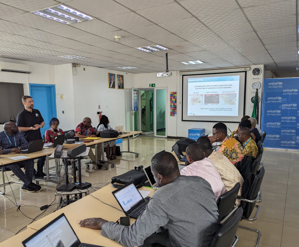
A meeting of stakeholders in Cameroon. Photo: CartONG.

“We are thrilled to embark on this transformative journey, supporting efforts to light the way for the unseen and ensuring every child’s right to health and identity in West Africa through GIS innovation,” says Naomi Morris, Health Programme Manager for MapAction. 

“After several years of fruitful collaboration with UNICEF and MapAction, we are delighted to embark on this new project, which shows once again the transformative role GIS solutions can have in facilitating decision-making, especially in hard-to-reach areas,” adds Marie Beeckman, Project Lead from CartONG.

Once information is available, UNICEF works with local authorities to help the identified unregistered members of those communities to access birth registration certificates, life-saving vaccination and other services. 

So far the work has taken in scoping trips and landscape mapping of stakeholders in Cameroon. The next focus countries will be Côte d’Ivoire and Mali. Later in 2024, MapAction and CartONG will start similar activities in Chad, Guinea and Nigeria.

What is MapAction? Video

Cet article est également disponible en français grâce à notre partenaire CartONG.

Mettre les enfants sur la carte en Afrique de l’Ouest et du Centre grâce à l’analyse géospatiale

This work is supported by UNICEF.

Partnering to support education in Mexico

MapAction is working in close collaboration with our partner CartONG to provide GIS & information management support to UNICEF – another long-term MapAction partner – on an as-needed basis around the world.

UNICEF logo

Working with UNICEF’s head quarters, country offices and partners in different parts of the globe, we are focusing on helping with geospatial data collection and management, mapping, knowledge management and capacity building.

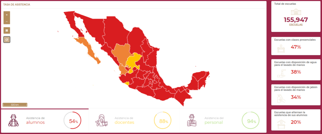
One of the projects we have been collectively working on is a data analysis dashboard to help educators in Mexico respond to the COVID-19 pandemic. This dashboard, which is updated on a daily basis, is a dynamic, interactive visualisation of information enabling education teams to monitor changes and identify trends in school attendance following COVID closures. It also provides general information on the state of schools’ water and sanitation infrastructure.

Screenshot of Mexican schools dashboard showing map of Mexico and numerical variables with sample data
Screenshot of the dashboard showing sample data

The dashboard is currently in beta. When finalised, it is planned that all teachers across Mexico will have access to it to help them plan and respond to the evolving COVID crisis.

As well as helping CartONG to build the dashboard, MapAction has provided data processing scripts to ensure a seamless feed of data and has lead on the user testing and quality assurance aspects of the project.

MapAction strengthens partnership with CartONG

MapAction and CartONG, a French NGO specialised in humanitarian information management, have been working together closely on several projects in recent months.

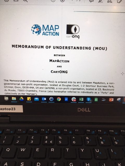
Laptop screen displaying the front page of the MoU with MapAction and CartONG logos visible

Most recently, we have been providing support to CartONG to help deliver a global information platform for MSF and working with them to provide a national education dashboard for Mexico, as part of our joint long-term agreement with Unicef.

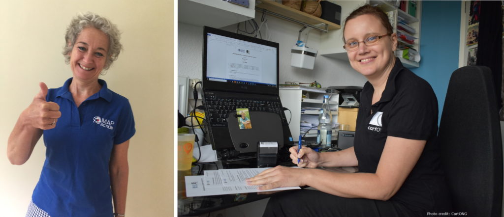
Our partnership has now been formalised by the signing of a Memorandum of Understanding (MoU) by MapAction’s Chief Executive Liz Hughes and CartONG’s Technical Director Sandra Sudhoff. The new agreement sets out how we will work together in future to help each other achieve our charitable purposes.

Liz commented, “This agreement underlines our mutual commitment to collaborate even more in future so that we can strengthen and amplify each other’s work. Our charitable objectives are quite closely aligned, but we each bring different skill sets, relationships and expertise to the table. Collaboration is essential to everything MapAction does, so it’s great to be able to cement our partnership in this way.”

Montage of two photos, Liz Hughes doing a thumbs up to camera and Sandra Sudhoff signing the MoU at her desk, smiling to camera.

Geospatial training in Guyana

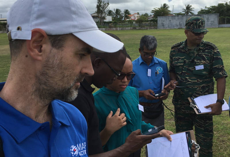
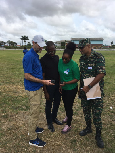
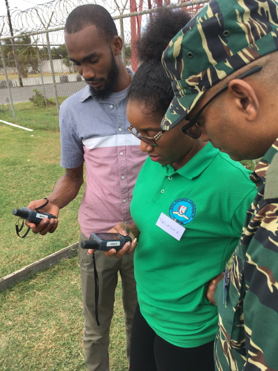
The latest phase of our collaboration with Unicef and the Civil Defence Commission (CDC) of Guyana is currently underway in the country’s capital of Georgetown. We are training CDC volunteers in spatial techniques to help respond as needed across the country, including potential flood response and assisting migrant communities.

Participants in this week’s practical training exercises have already completed an online training course we conducted during December. During this extended course, students will learn to apply geospatial techniques to the their own projects over a two-week period.

Extending our response to the economic crisis in Venezuela

Since October, MapAction has been working in Guyana with the Civil Defence Commission and Unicef to support Venezuelan and Guyanese communities affected by the Venezuelan economic crisis. This work has now been extended until 2019.

Photo: EU/N Mazars

Large numbers of people have left Venezuela as a result of economic hardship, and many of them are in Guyana. Registering incoming Venezuelans and understanding which communities are in need of support to host them continues to be vitally important.

MapAction has been helping Unicef to analyse how effective the response to the economic crisis in Venezuela has been, in particular bringing the situation for children into focus. Our work with the Guyana Civil Defence Commission involves assisting a move from a paper-based to a digital information management system. Both partners are keen to extend this work through the end of this year and beyond.

We’re very grateful to the Calleva Foundation for supporting this important work.

Supporting Unicef in Cameroon

MapAction has sent two highly-experienced volunteers to Cameroon to support Unicef’s work with refugees in-country.
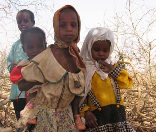
According to Unicef, the northern region of Cameroon is hosting over 66,000 refugees from Nigeria. The situation is further compounded by ongoing insecurity which is limiting people’s movements and having an adverse effect on food security. In eastern areas communities are also hosting as many as 139,000 refugees from the ongoing crisis in Central African Republic.

MapAction’s team is working in partnership with Unicef to map strategic areas for humanitarian intervention in affected regions. They will also help strengthen information management capacity in Cameroon by delivering specialist training in humanitarian mapping tools and techniques.

Emma Mumford, MapAction’s Operations Director, commented: “I am very proud that MapAction is supporting this underreported, yet acute humanitarian crisis, contributing to Unicef’s important work supporting vulnerable children in the country and in the region. I hope it will lead to further collaboration in future as the needs are clearly so great.”

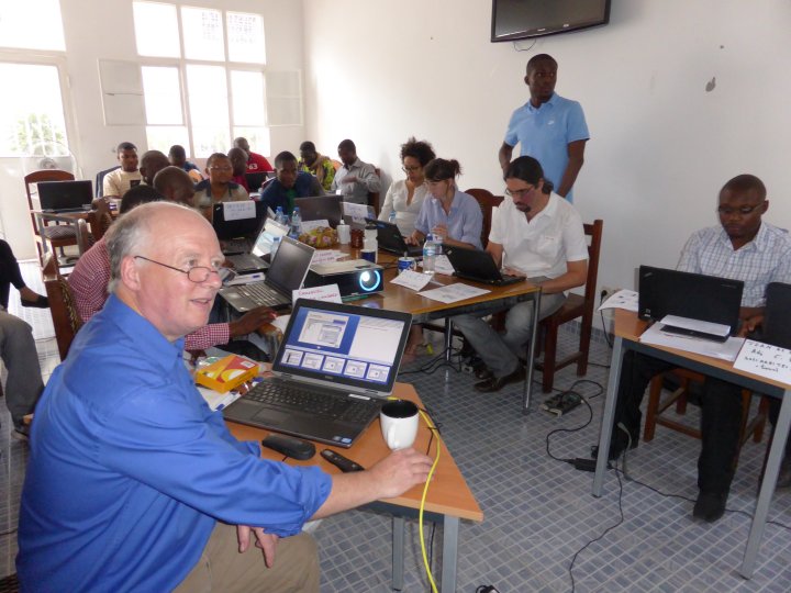
[Photo: A MapAction volunteer training Unicef staff in the Democratic Republic of Congo in 2014]

Sahel preparedness mapping with UNICEF

DAKAR, 9 Feb – A severe food crisis is forecast to strike the Sahel region of West Africa later in 2012, potentially affecting 7 to 10 million people in eight countries (Senegal, Mauritania, Mali, Burkina Faso, Niger, Nigeria, Chad and Cameroon). Low rainfall, poor harvests and high food prices are making communities vulnerable to extreme malnutrition. The number of children dying from nutrition-related causes is already estimated at more than 490,000 per year.

MapAction has deployed a team of two volunteers to undertake a mapping preparedness project from the UNICEF regional office in Dakar, Senegal. The team will work with UNICEF information management staff to do preparatory map setup and initial vulnerability maps, with a focus on food security and nutrition.

This is MapAction’s third deployment to the Sahel region. In 2005, our volunteers helped map priority needs in a food crisis in Niger and in 2009 we responded to floods in Burkina Faso.