MapAction signs WHO partnership agreement underlining growing support for health emergencies

Image by Gerd Altmann from Pixabay

MapAction has signed the Standby Partnership Agreement with the World Health Organisation (WHO) which will allow the UK-based emergency response and disaster preparedness charity to have greater impact in health emergencies. 

The agreement will see MapAction volunteers ready on standby to deploy to any health emergency operations at the request of the WHO. This will help bring the organisation’s unique data-driven approach to saving lives in even more health crises worldwide. 

The Standby Partnership Agreement will streamline and simplify how MapAction can deploy to WHO emergency operations at short notice. The agreement states that MapAction will “maintain a roster of standby personnel….for the rapid mobilisation and deployment of pre-screened individuals…to WHO emergency operations.” 

“We will provide some surge support that will be relevant to WHO emergency operations,” MapAction’s CEO Liz Hughes says of the agreement, noting that it is an important step to being able to deploy faster and more efficiently alongside WHO teams in emergency operations. “We have a growing knowledge of health needs through our own work” adds MapAction’s CEO. 

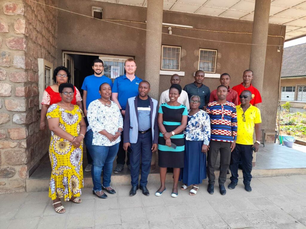
MapAction has already lent data management, geospatial and mapping support in 13 health-related emergency deployments worldwide since 2014. Teams of volunteers from the Oxfordshire-based charity were involved in providing support in the Ebola crisis in West Africa, as well as during the more recent COVID-19 pandemic. A team of MapAction volunteers is also currently working on a project to reduce the impacts of cholera in Malawi. 

MapAction personnel have also contributed to a leading sector title on how to respond to health emergencies (In Control: A Practical Handbook for Professionals Working in Health Emergencies Internationally).  

Besides deployments to emergency health crises, MapAction has also developed, with partners, the Integrated Humanitarian Data Package (IHDP) tool, designed to aid final mile vaccine delivery planning and logistics. It contains selected data sets, information explaining the data (‘metadata’) as well as GIS and coding tools which allow users to easily develop situation-specific items such as maps and other graphics. 

The IHDP was trialled during the roll out of COVID-19 vaccines in South Sudan.

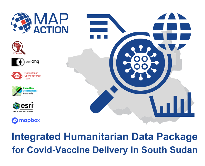
It was adapted in Burundi in late 2022 to combat the impacts of malaria. 

MapAction helps combat malaria in Burundi with data

MapAction’s work has always applied its geospatial and data expertise in order to provide information on humanitarian needs. Now, due to the changing world around us, we are expanding our focus on issues such as health and in other areas. Our activities will increasingly aim to use data and geospatial information to combat major health challenges that affect vulnerable populations. 

We have previously used our expertise in health related areas during the Covid-19 crisis and are now turning our focus to other challenges, the first being malaria. Malaria is one of the leading causes of death, suffering, poverty and underdevelopment globally. Every year 500 million people become severely ill from malaria and more than a million people die, the great majority of them women and children in sub-Saharan Africa.

We know that data and geospatial information and good knowledge management can help reduce these figures. Our IHDP tool (Integrated Humanitarian Data Package) was designed to aid vaccine delivery planning and logistics. It contains selected data sets, information explaining the data (‘metadata’), and GIS and coding tools which allows users to easily develop situation-specific items such as maps and other graphics.

Having trialled the IHDP in South Sudan for Covid 19 vaccine delivery planning, we are now testing it in a second country, and with malaria. In Burundi malaria cases have almost doubled since the early 2000s, reaching 843,000 cases per million inhabitants in 2019.  

To kick-off our programme of work, two MapAction team members travelled to Burundi to meet with partners from the Programme National Intégré de Lutte contre le Paludisme (PNILP – the National Integrated Malaria Control Programme). Our aim was to support them with digital data collection and to assess the need for more support.

The PNILP team distributes long-lasting insecticide treated bednets to households across the region. In the past, they have used a paper-based survey to estimate the number of bednets needed but they want to use a digital survey to make the process more effective.

The two teams discussed how we might work together and the MapAction team demonstrated how KoBo – a software app for mobile data collection and management – could be used for future surveys.

MapAction volunteers, Daniel Soares and Chris Jarvis, provided KoBo training to 12 members of the team. The participants already had a foundational knowledge of KoBo, which meant that MapAction could work with the team at a faster pace.

The training session looked at how to design KoBo forms for the survey teams who will be using smartphones, and how to then upload the collected data for analysis and planning.

In addition, the session also covered how to make data collection more secure and effective, by restricting access to the data and ensuring privacy, and how to streamline the data collection process for faster data analysis.

PNILP were interested in digital data collection for other activities too, and the focus is now on continuing to support the PNILP team with specific technical needs when necessary.