MapAction partners to support COVID-19 vaccine delivery

Administering billions of shots of COVID-19 vaccine around the world is a logistical challenge of unprecedented proportions. It is even more complex in countries lacking basic healthcare infrastructure, cold storage or comprehensive transport networks, or where accurate population information is not available.

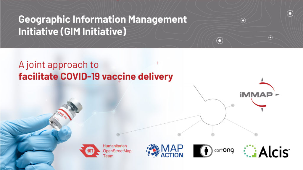
Understanding how geospatial analysis can help, MapAction is partnering with other geographic information specialists to help coordinate the delivery of COVID-19 vaccines in 15 low-income countries with acute humanitarian needs. 

The Geographic Information Management Initiative for COVID-19 Vaccine Delivery (GIM Initiative), which launches today, aims to help local partners tackle critical issues such as the selection of distribution sites, the planning of healthcare workers’ journeys to remote locations when no up-to-date maps exist, how to record doses and follow up with vaccinated people, and challenges around accessing the most vulnerable communities, including settlements that aren’t yet mapped. 

MapAction is joined in the GIM Initiative by Alcis, CartONG, Humanitarian OpenStreetMap and iMMAP.

Interactive map shows violence and threats to health workers during COVID-19

Screen shot of interactive web map

The increase in the number of security incidents affecting healthcare workers during the COVID-19 pandemic has been highlighted in an interactive web map launched today.

Incidents include the arson of COVID-19 testing facilities, the targeting of health workers on their way home from clinics, and violent responses to mask requirements.

Developed by Insecurity Insight, a non-profit which works to examine threats facing those living and working in dangerous environments, and MapAction, the user-friendly map is intended to support the aims of the Safeguarding Health In Conflict Coalition.

Christina Wille, Managing Director, Insecurity Insight, commented, “This tool gives stakeholders concerned with the protection of health care global insight into COVID-related incidents of threats and violence against health care providers to support better protection of health workers.”

The map depicts 412 acts of pandemic-related violence and threats to health workers and services around the world in 2020 out of a total of 1,172 incidents. Because not all incidents are reported or recorded, the actual number is likely to have been significantly higher.

To create the map, MapAction needed to consolidate the data available – which is often in indigestible formats and from multiple sources – understand the geographical context and visualise it. We brought our considerable experience in humanitarian mapping, information management, and solution design to the project, ensuring the information architecture is a stable platform that is easy to manage, while allowing for future adaptations and enhancements to be seamlessly integrated.

Christina continued, “We are working with MapAction to expand the map’s functionality and develop a similar tool for the education sector and other areas, as well as a map on security incidents affecting aid operations in Mozambique.”

View the press release here.

MapAction contributes to new health emergencies handbook

In Control hardback book

Over 50 authors, including two MapAction team members, have contributed their expertise and insight about working in health emergencies to a new handbook for humanitarian professionals.

Spearheaded by the Robert Koch Institute, In Control: A Practical Handbook for Professionals Working in Health Emergencies Internationally is aimed at preparing and supporting those deploying internationally during humanitarian crises.

Addressing the multi-faceted challenges of an international deployment, the book provides technical medical information as well as insights into the challenging environments volunteers often work in and the cultural differences that influence risk communication.

The book is divided into two halves, with the first providing an overview of the international architecture and inter-disciplinary environment within which health emergency responses occur. These include the organisations, principles, frameworks and themes that every health professional deploying aboard should be aware of. The second half of the book provides practical advice to help professionals survive and thrive during their mission. Chapters include how to prepare for a deployment, such as arrangements that should be taken care of ahead of departure, and suggestions on what to pack.

Infographic: coordinate system; units; source; triangulate; absent values; restrictions; date
Checks to incoming data can easily be remembered
using the acronym CUSTARD.

Information management & visualisation

As part of their contribution (in chapter 3, starting at page 200), MapAction’s Matt Sims and Alan Mills shared how important data visualisations are in making well-informed decisions and the importance of identifying information gaps to ensure those who may need assistance are not overlooked.

Also covered in their chapter are the questions that responders should be asking themselves when handling data, such as whether it identifies the location of vulnerable individuals or groups; how the data is stored and protected; and what will be produced from the data, among other considerations.  

Hard copies of the book can be requested by emailing the Robert Koch Institut.

Helping WHO with mapping in Libya and Chad

MapAction volunteers have been supporting the World Health Organization (WHO) in Libya and Chad to process and map data about health and sanitation services, in order to support the response to COVID-19.

The volunteers have been working remotely, alongside each country’s health cluster (networks of WHO partners that work together to relieve suffering and save lives in humanitarian emergencies). They have been helping to identify and map what healthcare, water and sanitation services and aid are being provided, by whom, when and where. This is known as 4W mapping and is important to help identify gaps and avoid duplication.

We are now looking at providing similar assistance to WHO in other parts of North and Central Africa.

COVID-19 government measures dashboard

We’ve helped ACAPS to put together a dashboard showing government measures being taken around the world. Data can be filtered by region, country, type of measure and timeframe.

Screenshot of government measures dashboard

We will be updating this twice a week. In the meantime ACAPS, MapAction and other organisations are looking at further topics to develop analysis for. 

Report into COVID-19 government measures worldwide

Map of countries with COVID-19 public health measures as of 17/3/2020

The first bulletin in a series about measures adopted by governments in response to COVID-19, as well as potential impacts on ongoing humanitarian operations, has now been published by ACAPS.

MapAction is collaborating with ACAPS and other partners to provide analysis, maps and visualisations of the pandemic as it evolves to assist governments and aid agencies in their response.

Map of countries with social distancing measures as of 17/3/2020

Supporting ACAPS’ analyses of COVID-19 government responses

Since last week, we have been working with our partner ACAPS, the independent humanitarian analysis organisation, to support their efforts looking at the longer term humanitarian effects of COVID-19.

Every Wednesday, starting today, ACAPS will be publishing a weekly bulletin about government measures around the world in relation to the virus. MapAction is assisting this work with analysis, mapping and visualisations of the collected data. The data is also being published via the Humanitarian Data Exchange (HDX).

This information will enable teams planning the response to the pandemic around the world to see what steps are being taken in different countries and what the impacts of those measures are.