UNICEF, CartONG and MapAction are announcing a new partnership in six countries: Cameroon, Chad, Côte d’Ivoire, Guinea, Mali and Nigeria. The ‘Reach the Unreached’ initiative aims to use analysis of geographic information (GIS) to find families that may be overlooked by those providing services such as birth registration and vaccination.

When traditional ways of identifying and registering people’s existence fail, such as government census and birth registration, children risk missing out on vital services like vaccination and receiving birth certificates. Africa is home to 91 million children under the age of 5 without a birth certificate, according to UNICEF data. In 2022 in West and Central Africa, 4.4 million children did not receive a single dose of vaccine, out of about 20 million children. Children lacking a legal identity risk not being included in planning for service provision.
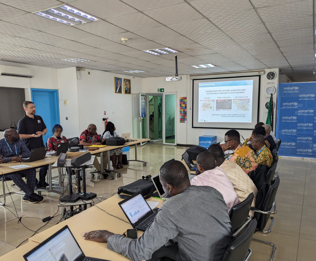
To address the problem, UNICEF is working with partners MapAction and CartONG, humanitarian GIS specialists, to help health ministries and their supporting national partners, make data-informed decisions to vaccinate children and ensure the necessary lifelong health assistance.
READ ALSO: Ode to a geospatial humanitarian partnership and shared values
LIRE AUSSI: Partenariat Humanitaire Géospatial Et Valeurs Partagées : Un Hymne À L’action
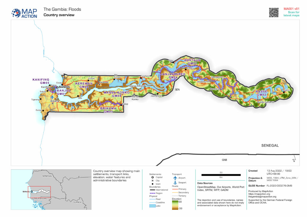
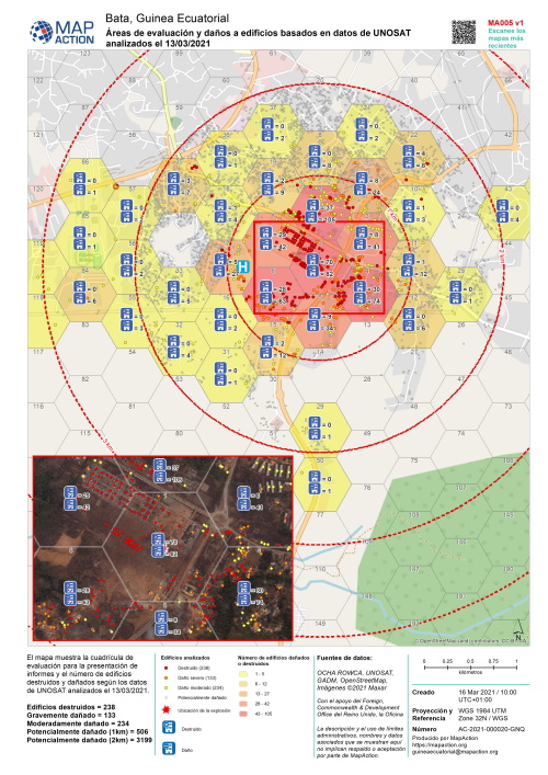
UNICEF aims to provide the six countries with spatial data and GIS tools, namely maps and dashboards. This will help local authorities and stakeholders locate unreached children that do not access basic services. The data can then assist in decision-making for improving health planning, immunisation and birth registration.
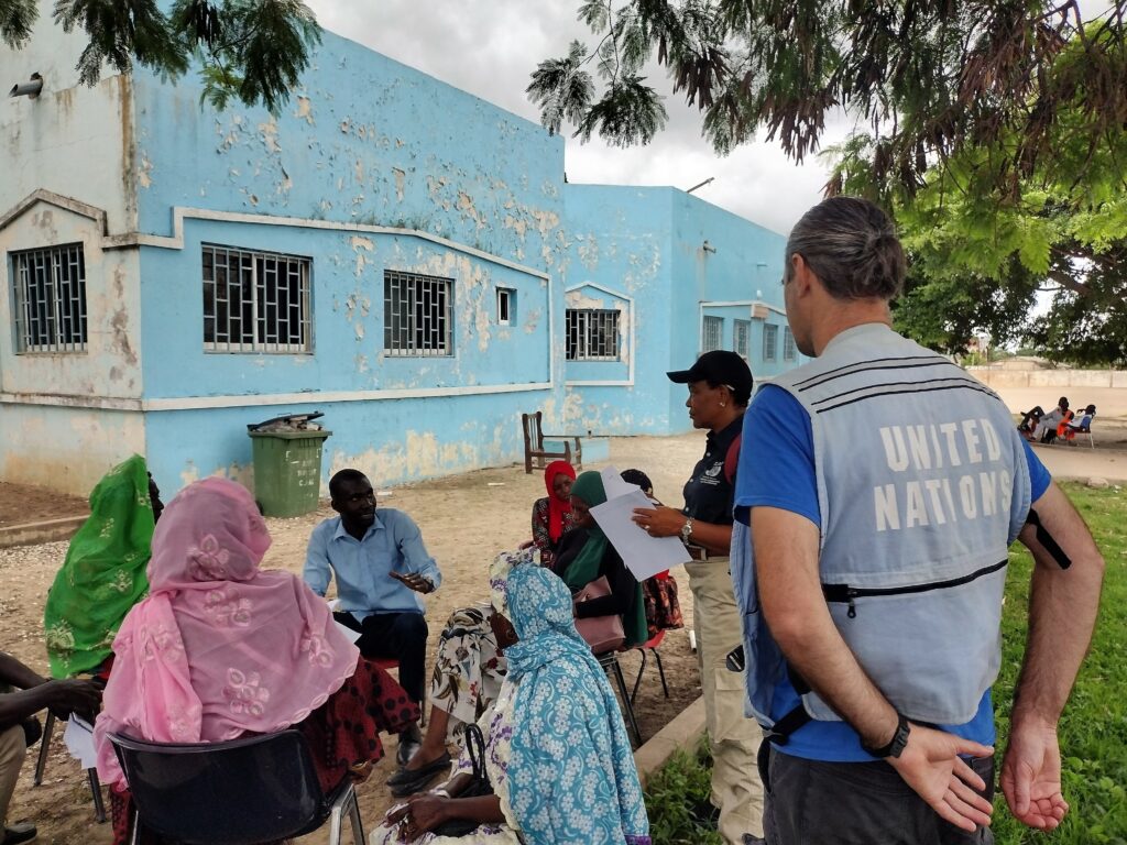
Beyond mapping unreached children, the project will focus on different activities in each country. These will include spatial data collection and assessment, with a focus on health catchment areas, as well as the production of maps and data visualisation tools. The methodology will be documented throughout, alongside extensive capacity building, to enhance sustainability of the tools and methodologies developed.
“We are thrilled to embark on this transformative journey, supporting efforts to light the way for the unseen and ensuring every child’s right to health and identity in West Africa through GIS innovation,” says Naomi Morris, Health Programme Manager for MapAction.
“After several years of fruitful collaboration with UNICEF and MapAction, we are delighted to embark on this new project, which shows once again the transformative role GIS solutions can have in facilitating decision-making, especially in hard-to-reach areas,” adds Marie Beeckman, Project Lead from CartONG.
Once information is available, UNICEF works with local authorities to help the identified unregistered members of those communities to access birth registration certificates, life-saving vaccination and other services.
So far the work has taken in scoping trips and landscape mapping of stakeholders in Cameroon. The next focus countries will be Côte d’Ivoire and Mali. Later in 2024, MapAction and CartONG will start similar activities in Chad, Guinea and Nigeria.
What is MapAction? Video
Cet article est également disponible en français grâce à notre partenaire CartONG.
Mettre les enfants sur la carte en Afrique de l’Ouest et du Centre grâce à l’analyse géospatiale
This work is supported by UNICEF.

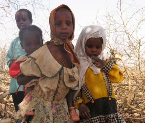 DAKAR, 9 Feb – A severe food crisis is forecast to strike the Sahel region of West Africa later in 2012, potentially affecting 7 to 10 million people in eight countries (Senegal, Mauritania, Mali, Burkina Faso, Niger, Nigeria, Chad and Cameroon). Low rainfall, poor harvests and high food prices are making communities vulnerable to extreme malnutrition. The number of children dying from nutrition-related causes is already estimated at more than 490,000 per year.