Meet a MapAction pioneer on International Women’s Day

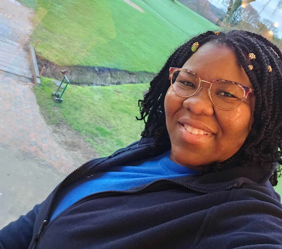
She survived a volcanic eruption and helped rebuild her island afterwards. Meet Lavern Ryan, a MapAction volunteer and GIS aficionado.

Lavern Ryan in Cottesmore, UK, for HEAT training. Photo: Lavern Ryan

‘Be the change that you want to see in the world’ is a quote often attributed to Mahatma Gandhi but on International Women’s Day 2024, MapAction volunteer Lavern Ryan says it captures her thoughts. “I would like to encourage women and girls worldwide to do just the same. Whatever one sets their mind to, it can be accomplished with strength, determination and prayer,” she adds. 

Lavern is the living proof of her own words; her story reads like a triumph of willpower over circumstances. In 1995, Lavern was displaced from her home island of Montserrat due to a volcanic eruption.

Displaced by volcano

“I remember it like it was yesterday although it was 28 years ago,” Lavern recalled recently in a podcast with GeoMob. Lavern went on to recollect how many people on the Caribbean island of Montserrat tried to head north amidst the “chaos and panic” to get away from the erupting Soufriere Hills volcano. The current population of Montserrat is approximately 5000 people.

HEAR MORE: Podcast: Towards disaster resilience with CDEMA in the Caribbean

Lavern first moved to Antigua, the closest island to Montserrat, but found misfortune to have travelled with her. In September 1995, the Category 4 Hurricane Luis struck Antigua, meaning Lavern had now experienced two major natural disasters within three months. Lavern was 13 at the time.  She went on to complete her secondary school education in Antigua and then a Bachelor’s Degree in Computer Science in Trinidad and Tobago. She later also studied at Edinburgh University and the University of Dundee in Scotland.

GIS to the rescue

When Lavern did return to Montserrat a few years later, the southern part of the island – still inaccessible today – was covered in pyroclastic flows. Her newfound skills in GIS and remote sensing were serendipitous however, “to identify where the best places were to occupy the northern part of the island.” Timely work as the volcano has continued to erupt since 1995, making half of the island uninhabitable. 

Since 2002, Lavern has been the GIS Manager for the Government of Montserrat. She works closely with the Island’s disaster management authorities and cares for a broad portfolio: from leading hydrographic surveys and conducting aerial drone mapping to training the next generation of enthusiastic humanitarian mappers on the island.

“I really admire Lavern’s attitude to her life and work,” says MapAction’s Alan Mills, who has worked with Lavern for many years. “She not only juggles all her government duties on Montserrat with her priorities  to her family and friends, she still has time to advocate across her community, kids and adults alike, of  the importance of maps and geoinformation in everyone’s lives and apply all those skills with energy to spare.”

Lavern is interviewed by BBC Scotland at a MapAction simulation exercise in May 2023. Photo: MapAction.

So what has Lavern’s work entailed most recently? “The capturing and processing of drone aerial images in Montserrat was an important aspect which helped with the successful implementation of enumeration for the 2024 Montserrat population and housing census,” Lavern told the MapAction communications team. 

VIDEO: What is MapAction?

Never stop learning 

Despite having more than 20 years GIS experience under her belt, Lavern continues to refresh and broaden her skillset. During a recent visit to the UK, Lavern attended courses, training and talks at key institutes. 

At the UK Hydrographic Office in Taunton, Lavern had the opportunity to meet with other UK Overseas Territory delegates and engaged in discussions on hydrographic action plans, governance and marine spatial planning. There was also a focus on the need to upskill her use of software to conduct hydrographic surveys as part of Montserrat’s commitment to the International Convention on Safety of Lives At Sea (SOLAS). “This helps us to fulfil our international safety obligations,” says Lavern, the technical lead for conducting hydrographic surveys on the island of Montserrat.

READ ALSO: Gender in Maps, a MapAction report (2023)

“I also visited the Joint Nature Conservation Committee  (JNCC) offices in Peterborough,” adds Lavern. “My focus there was to wrap up a project we were working on with respect to storm surge modelling.”

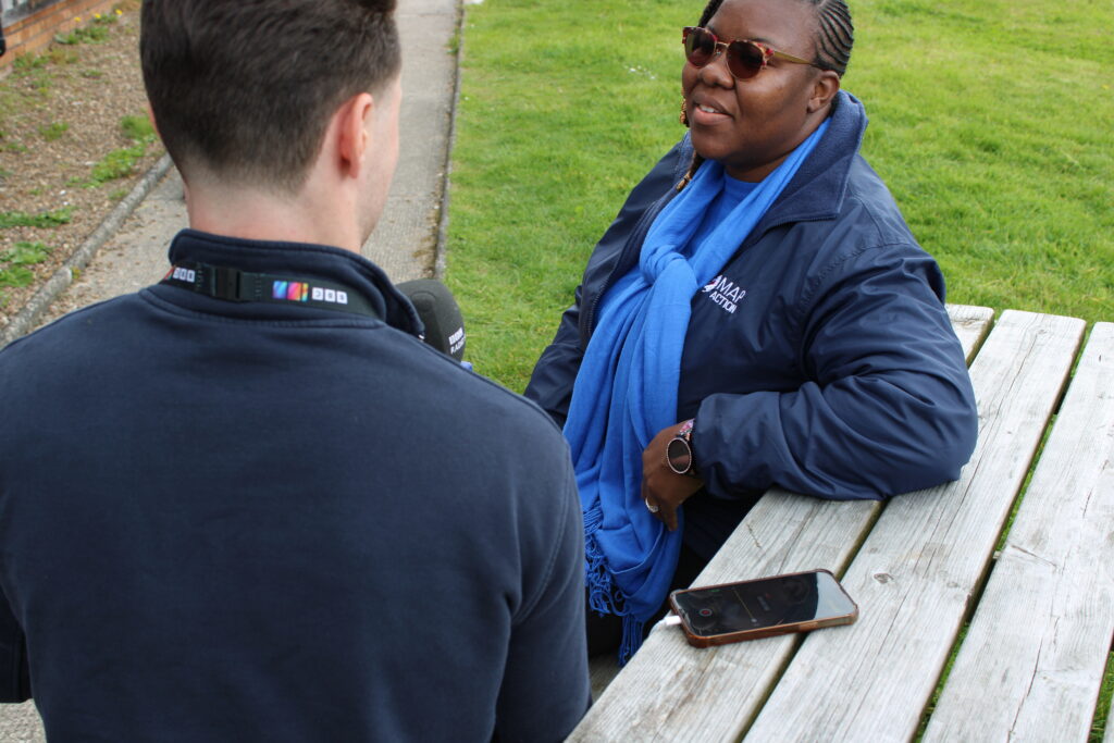
Lavern also managed to squeeze in a refresher security course, a prerequisite for all MapAction volunteers who deploy. Lavern began to volunteer with MapAction in 2019 and has been involved in several remote responses to natural disasters in the Caribbean since 2020. She expects to be involved in more this year, often together with the Caribbean Disaster Emergency Management Agency (CDEMA). After all, the Caribbean has its own season, she told GeoMob: “Hurricane Season,” from June to November each year. Her skillset will forever be needed.

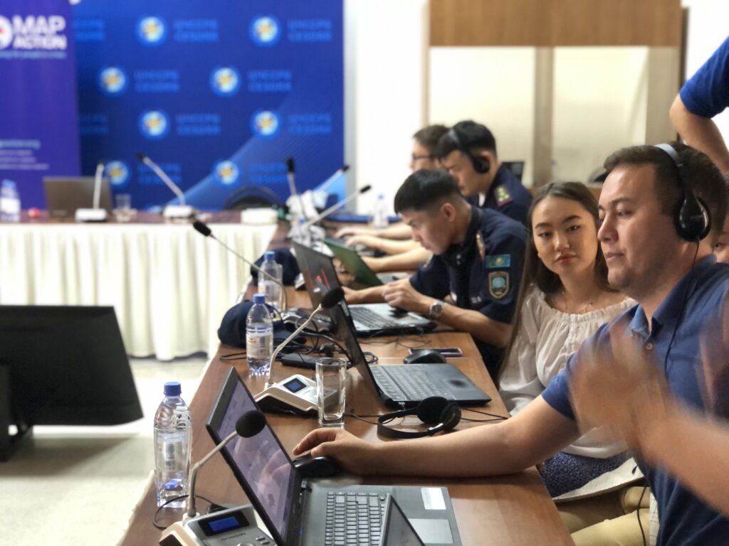
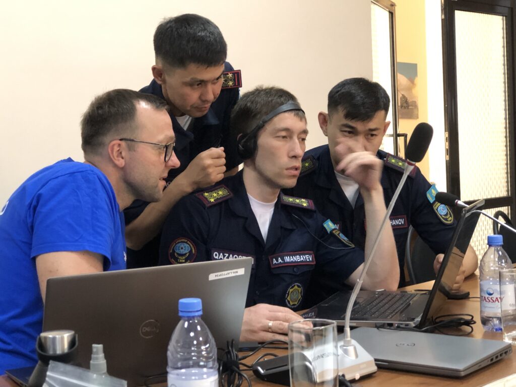
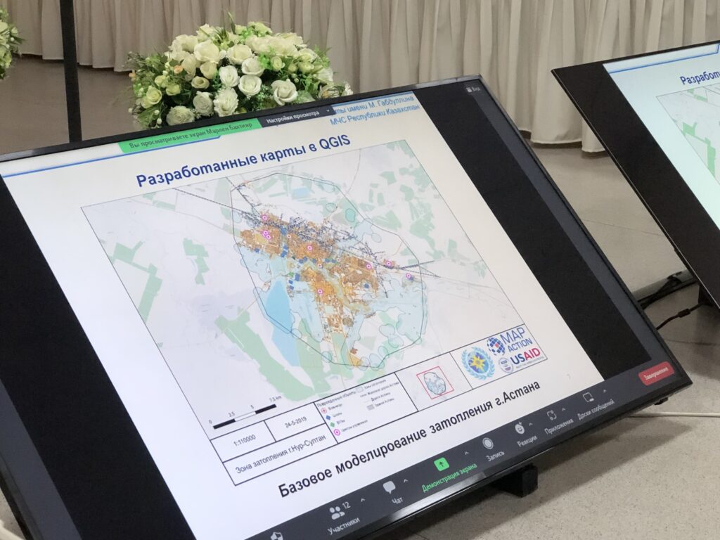
READ ALSO: “We see real outcomes.” MapAction impact in Central Asia in partnership with CESDRR

MapAction’s internal and external capacity building programmes are funded by USAID’s Bureau for Humanitarian Assistance (BHA).

“We see real outcomes.” MapAction impact in Central Asia in partnership with CESDRR

MapAction has delivered 15 workshops to disaster managers in Central Asia in the last five years in partnership with the Center for Emergency Situations and Disaster Risk Reduction (CESDRR). Widespread use of GIS and humanitarian information management tools means local disaster managers are evermore prepared for present and future hazards.

Disaster managers attend a training event with CESDRR and MapAction in June 2023. Photos: A Wilkie.

When a fire broke out in a “large” warehouse last year in Almaty, Kazakhstan’s largest urban center, Dusyembaev Bagdat, the officer on duty at the time in the Department of Emergency Situations for the city, didn’t panic. 

“I drew a map of the scene using QGIS, indicating the distance from the nearest fire station to the place of the fire,” says Bagdat, 34, recalling how he was able to deploy the mapping skills he had acquired during MapAction co-led workshops with the regional Center for Emergency Situations and Disaster Risk Reduction (CESDRR). Maps like these help decision-makers fast track solutions in crises situations; those decisions can then dramatically reduce human suffering, economic losses and environmental or social risks. 

READ ALSO : How maps can save lives when disasters strike 

Bagdat had previously attended two MapAction workshops on mapping for emergencies: one in the Kazakh capital Astana in 2022 and another in the former capital Almaty in 2023. These professional development seminars were part of more than half a decade of cooperation between MapAction and CESDRR. 

In 2016, Kazakhstan and Kyrgyzstan established the Center for Emergency Situations and Disaster Risk Reduction (CESDRR), headquartered in Almaty, Kazakhstan. The organisation’s objective is to “ensure effective mechanisms to decrease the risk of emergencies, to mitigate the consequences, to organise a joint response.”  In order to further strengthen regional cooperation, CESDRR established the Central Asian regional high-level dialogue platform for DRR — the Regional Forum-Meeting of the Heads of Emergency Authorities of Central Asian countries, adding Uzbekistan, Tajikistan and Turkmenistan to the framework. In 2018, MapAction and CESDRR signed an agreement to work together.

The agreement envisaged, among other clauses, an “exchange of technical information, including samples and standards,” as well as “technical assistance,” and support in “professional development” for representatives from member states. 

READ ALSO: MapAction Data Science Lab: the story so far

Since then, MapAction has continued to provide support “in GIS and mapping in emergencies.” Nearly six years and more than a dozen key encounters later, the impact is multifold. 

MapAction volunteer Lukasz Gorowiec with Central Asian disaster managers at a CESDRR/MapAction training event in June 2023 in Almaty.

“Real outcomes of our work

“Today we see real outcomes of our work” says Bakhtiyar Ospanov, a senior expert with CESDRR. “We have been cooperating with MapAction since 2018 and during this period of time we have conducted 15 training courses, trained 320 officers of emergency authorities of Kazakhstan, Kyrgyzstan and Uzbekistan,” Ospanov told MapAction. Nearly a dozen MapAction staff members and volunteers have been involved in organising seminars on humanitarian information management and mapping for/in emergencies during the 60-month+ engagement. 

The impact is mushrooming. Many of the disaster managers seconded by their organisations in the past to learn GIS tools and practices for humanitarian response have since become trainers in their own right, passing on what they learned to colleagues. This domino effect has created a cohort of GIS-savvy disaster managers in the region. 

They face no shortage of challenges. “Central Asia is an extremely disaster-prone region, suffering annually from the consequences of natural disasters. In addition to earthquakes, the region is constantly threatened by landslides, floods, mudflows, droughts, avalanches and extreme air temperatures,” noted Minister of Emergency Situations of the Kyrgyz Republic Major General Azhikeev Boobek at a regional summit in late 2023. In Kazakhstan alone, on average “3,000-4,000 emergency situations happen annually with 3,000-5,000 thousand victims” states UNICEF in a recent report on disaster resilience. Fires continue to be a major hazard in the Kazakh Steppe, a large area of natural grassland.

Fighting fires with GIS

Mapping solutions is key. “There is a group of officers who improved their skills and knowledge at MapAction’s last training in Almaty (June 2023) and who are about to become national trainers,” CESDRR’s Bakhtiyar Ospanov, who works alongside six other staff members at CESDRR’s HQ, told MapAction by email. 

PODCAST: Towards disaster resilience with CDEMA in the Caribbean

Bagdat, who helped map a solution to extinguish the fire at the warehouse in Almaty, is one of them. He now trains other members of his team of 10 who all work in the disaster management department for Kazakhstan’s largest city, and former capital, Almaty. Some of the maps created support search and rescue operations. Others can help identify a solution in a dangerous situation. 

Bakhtiyar from CESDRR shared with MapAction three sample maps, made to strengthen disaster preparedness, created by reps from member states who attended MapAction’s humanitarian mapping seminars in recent years.

A map produced during a workshop in Almaty in 2023.

One envisages key scenarios in the event of an earthquake striking Almaty; another shows the location of the rescue helicopters of the Kazakhstan Air Rescue Service, by province/oblast. Yet another envisages a potential situation in the area around the Kapchagay Reservoir – just north of Almaty – should its dam be damaged/broken. 

Maps for such emergencies – even if only simulated – always seek to mitigate risks. 

Domino GIS effect

“What is very important is that after the training our specialists are able to share their knowledge and teach new employees,” Zaginaev Vitalii, 36, a former division head in the hazard monitoring and forecasting department at the Ministry of Emergency Situations of the Republic of Kyrgyzstan, tells MapAction. “I shared the knowledge gained (ed: from MapAction workshops) with my colleagues. Now they also know how to work on this program (Ed: QGIS – free mapping software). We use this program in the case of large fires or emergencies where there are victims or casualties. Also, during various search and rescue or emergency rescue operations, we use the QGIS program for a visual concept of the location of an emergency or incident,” Vitalii, who is now applying his experience in the academic sector, told MapAction. 

READ ALSO: OFFICERS OF THE MES OF REPUBLIC OF KAZAKHSTAN AND THE MES OF KYRGYZ REPUBLIC IMPROVED THEIR CAPACITY IN THE USE OF GIS TECHNOLOGIES AND MAPPING IN EMERGENCIES

Less than a decade old, CESDRR still has big plans. While the intergovernmental organisation does not do emergency response per se and essentially “is a bridge between Central Asian national disaster agencies and the international community,” as per Bakhtiyar, the team is equipped with drones and operators as well as UAVs “and can be involved in transboundary or resonant disaster rescue.” 

Looking ahead, Bakhtiyar from CESDRR says a shared digital atlas of hazards is on the horizon for CESDRR members, inviting MapAction to take a key partner role for that future initiative. Long may the partnership live.

“We look forward to continuing to build the strong relationship we have with CESDRR to further strengthen disaster preparedness in the Central Asian region through the provision of more GIS and humanitarian IM support,” says MapAction’s CEO Colin Rogers.

READ ALSO: MapAction excited to announce Colin Rogers as new Chief Executive

Central Asian risk atlas

There is work to be done still. “In Central Asia, there is no unified geographic information system that includes a digital atlas of natural and man-made transboundary hazards and reflects basic data on existing risks,” says Ospanov. 

READ ALSO: Strengthening disaster resilience and accelerating implementation of Sendai Framework for Disaster Risk Reduction in Central Asia 2019-2023 – Final Report

“The development of a unified geographic information system reflecting interactive maps of the Central Asian countries and applying information on existing risks in the form of blocks (layers) on them will make it possible to provide the subjects of emergency situations with reliable information about potential sources of emergency situations and the causes of their occurrence, ensuring control over the state of sources of emergency situations, early forecasting of possible emergency situations and their management,” says Ospanov. 

Bakhtiyar’s comments point to an increasing emphasis on anticipatory action. A fire extinguisher puts out fires; a fire alarm helps prevent them. Preparedness is key. 

All of MapAction’s work in supporting CESDRR has been funded by USAID’s Bureau for Humanitarian Assistance (BHA).

WATCH MORE: Animated video about what we do at MapAction


Ode to a geospatial humanitarian partnership and shared values

From Mexico to South Sudan, Malawi and worldwide, MapAction and CartONG have worked together for nearly a decade to bring geospatial solutions to the humanitarian aid and international development sector. Our underlying core shared values help us support NGOs and aid actors for more impactful assistance.

Image: CartONG.

What happens if information barriers aren’t broken down for humanitarian agencies in emergencies? Food gets sent to the wrong people, search and rescue teams are misinformed, temporary settlements are set up in misguided places. Lives are lost or ruined because the right data was missing.

Breaking down information barriers

At MapAction and CartONG we embrace and live by the same values embedded in a single idea: the application of geospatial technology to improve the quality and impact of humanitarian assistance and development projects. Every map, mapathon, training event, data analysis tool or geospatial element of disaster preparedness we co-strive to create can be the key to getting aid to a stricken community or to understanding and preparing for the worst effects of a drought, flood or health emergency. These shared core values and resources have led to a beautiful cross-channel partnership between UK-based MapAction and France-based CartONG. A partnership that aims to improve the impact of aid actions by providing decision-makers and vulnerable communities with the right data to understand and mitigate any crisis.

Decade-long partnership

Our partnership has already lasted nearly a decade. As part of the Covid-19 response, MapAction seconded staff to help CartONG with the surge of activities in its partnership with Medecins Sans Frontieres (MSF). Having already worked together for several years on various projects, including as part of the H2H Network, a peer-to-peer humanitarian network, MapAction and CartONG signed a Memorandum of Understanding (MoU) to work more closely together in 2020.

READ ALSO: MapAction strengthens partnership with CartONG

READ MORE: CartONG strengthens collaboration with MapAction via the signing of a MoU

CartONG and MapAction have since worked together on a number of different projects. In Mexico, together with UNICEF and the Mexican government, MapAction and CartONG supported the creation of a dashboard aiming to display and monitor real-time information on key education indicators on elementary schools at the national level in order to map COVID-19 affectations before the start of the new school year in 2020. It was created to display and monitor real-time information on key education indicators for all elementary schools. This relied on over 200,000 individual schools uploading their data on a daily basis, and was the first time that this information would be collected and displayed at a national level.

Screenshot from a dashboard on the Mexico project. Image: Screenshot/UNICEF.

READ ALSO: Developing an analytic dashboard for back to school follow-up in Mexico with MapAction

READ MORE: Post-COVID Progress: Helping Mexican schools reopen

In South Sudan, MapAction and CartONG, together with other partners, worked to  identify the data challenges that might slow down ‘final mile’ vaccine delivery in a challenging data environment. One outcome of this work was the Integrated Humanitarian Data Package, that aimed to give quick and easy access to key geographic data that underpins the planning and delivery of vaccination programmes. This pilot health project highlighted the vital role that geospatial technology can play in creating effective healthcare solutions. High quality mapping and data analysis is key to understanding how many people need vaccinating, where they are, and how and where the vaccines can be safely stored and delivered.

READ ALSO: South Sudan data package to support effective and equitable Covid vaccine delivery

In 2023, CartONG and MapAction again used the IHDP to map the outbreak of cholera in Malawi. We are also both partners on the ‘UNICEF Geospatial Hotline’, where interested UN departments can request specific geospatial services from our organisations.

As we look ahead, we know the crises we try to mitigate will become evermore complex and challenging; the funding landscape evermore volatile. That is why our partnership continues to grow and why the alliances we are building with organisations like H2H, UNICEF and Start Network are so vital. We will soon also be announcing a new and exciting joint-project linked to health in West Africa. More on that soon.

We both remain committed to continue to deliver capacity building events and projects worldwide to strengthen disaster preparedness and improve the impact of humanitarian assistance.

Souhaitez-vous lire cet article en français ? Cliquez ici!