She survived a volcanic eruption and helped rebuild her island afterwards. Meet Lavern Ryan, a MapAction volunteer and GIS aficionado.

‘Be the change that you want to see in the world’ is a quote often attributed to Mahatma Gandhi but on International Women’s Day 2024, MapAction volunteer Lavern Ryan says it captures her thoughts. “I would like to encourage women and girls worldwide to do just the same. Whatever one sets their mind to, it can be accomplished with strength, determination and prayer,” she adds.
Lavern is the living proof of her own words; her story reads like a triumph of willpower over circumstances. In 1995, Lavern was displaced from her home island of Montserrat due to a volcanic eruption.
Displaced by volcano
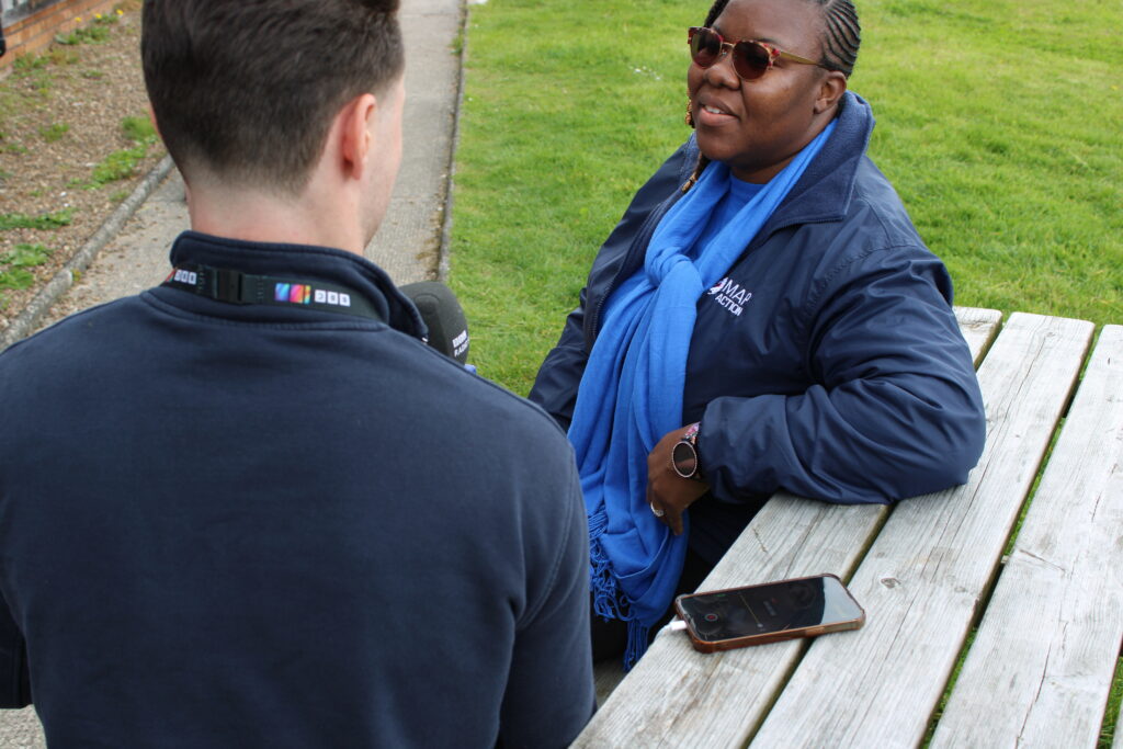
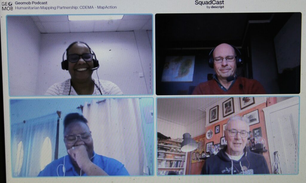
“I remember it like it was yesterday although it was 28 years ago,” Lavern recalled recently in a podcast with GeoMob. Lavern went on to recollect how many people on the Caribbean island of Montserrat tried to head north amidst the “chaos and panic” to get away from the erupting Soufriere Hills volcano. The current population of Montserrat is approximately 5000 people.
HEAR MORE: Podcast: Towards disaster resilience with CDEMA in the Caribbean
Lavern first moved to Antigua, the closest island to Montserrat, but found misfortune to have travelled with her. In September 1995, the Category 4 Hurricane Luis struck Antigua, meaning Lavern had now experienced two major natural disasters within three months. Lavern was 13 at the time. She went on to complete her secondary school education in Antigua and then a Bachelor’s Degree in Computer Science in Trinidad and Tobago. She later also studied at Edinburgh University and the University of Dundee in Scotland.
GIS to the rescue
When Lavern did return to Montserrat a few years later, the southern part of the island – still inaccessible today – was covered in pyroclastic flows. Her newfound skills in GIS and remote sensing were serendipitous however, “to identify where the best places were to occupy the northern part of the island.” Timely work as the volcano has continued to erupt since 1995, making half of the island uninhabitable.
Since 2002, Lavern has been the GIS Manager for the Government of Montserrat. She works closely with the Island’s disaster management authorities and cares for a broad portfolio: from leading hydrographic surveys and conducting aerial drone mapping to training the next generation of enthusiastic humanitarian mappers on the island.
“I really admire Lavern’s attitude to her life and work,” says MapAction’s Alan Mills, who has worked with Lavern for many years. “She not only juggles all her government duties on Montserrat with her priorities to her family and friends, she still has time to advocate across her community, kids and adults alike, of the importance of maps and geoinformation in everyone’s lives and apply all those skills with energy to spare.”

So what has Lavern’s work entailed most recently? “The capturing and processing of drone aerial images in Montserrat was an important aspect which helped with the successful implementation of enumeration for the 2024 Montserrat population and housing census,” Lavern told the MapAction communications team.
VIDEO: What is MapAction?
Never stop learning
Despite having more than 20 years GIS experience under her belt, Lavern continues to refresh and broaden her skillset. During a recent visit to the UK, Lavern attended courses, training and talks at key institutes.
At the UK Hydrographic Office in Taunton, Lavern had the opportunity to meet with other UK Overseas Territory delegates and engaged in discussions on hydrographic action plans, governance and marine spatial planning. There was also a focus on the need to upskill her use of software to conduct hydrographic surveys as part of Montserrat’s commitment to the International Convention on Safety of Lives At Sea (SOLAS). “This helps us to fulfil our international safety obligations,” says Lavern, the technical lead for conducting hydrographic surveys on the island of Montserrat.
READ ALSO: Gender in Maps, a MapAction report (2023)
“I also visited the Joint Nature Conservation Committee (JNCC) offices in Peterborough,” adds Lavern. “My focus there was to wrap up a project we were working on with respect to storm surge modelling.”
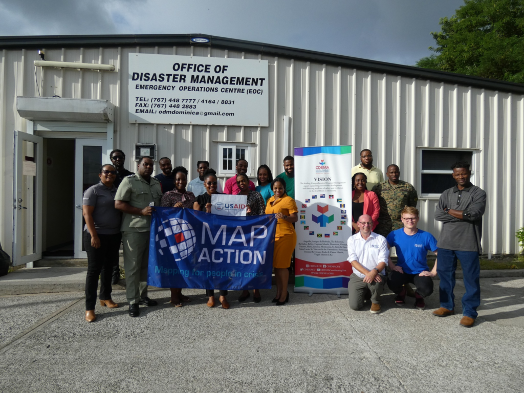
Lavern also managed to squeeze in a refresher security course, a prerequisite for all MapAction volunteers who deploy. Lavern began to volunteer with MapAction in 2019 and has been involved in several remote responses to natural disasters in the Caribbean since 2020. She expects to be involved in more this year, often together with the Caribbean Disaster Emergency Management Agency (CDEMA). After all, the Caribbean has its own season, she told GeoMob: “Hurricane Season,” from June to November each year. Her skillset will forever be needed.
READ ALSO: “We see real outcomes.” MapAction impact in Central Asia in partnership with CESDRR
MapAction’s internal and external capacity building programmes are funded by USAID’s Bureau for Humanitarian Assistance (BHA).


