MapAction supports response to deadly earthquake in Haiti

Over a thousand people have died and many more have been injured in a catastrophic earthquake in Haiti. The 7.2 magnitude earthquake hit on 14th August which has brought devastation to the Caribbean nation whose population is already highly vulnerable due to political and civil unrest.

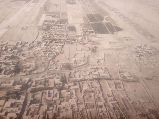
The epicentre of the earthquake was near the Northern coast of the Southern peninsula where it has caused significant damage to infrastructure such as hospitals, ports and roads in areas such as Jérémie and Les Cayes. 

Initial estimates show that the earthquake has caused over 700 buildings to collapse and damaged nearly 4,000 homes, resulting in many seeking refuge in shelters and many more that have been displaced. Search and rescue teams have been deployed to find any people still trapped under the rubble.

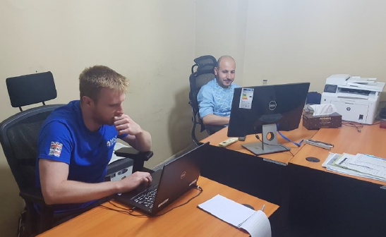
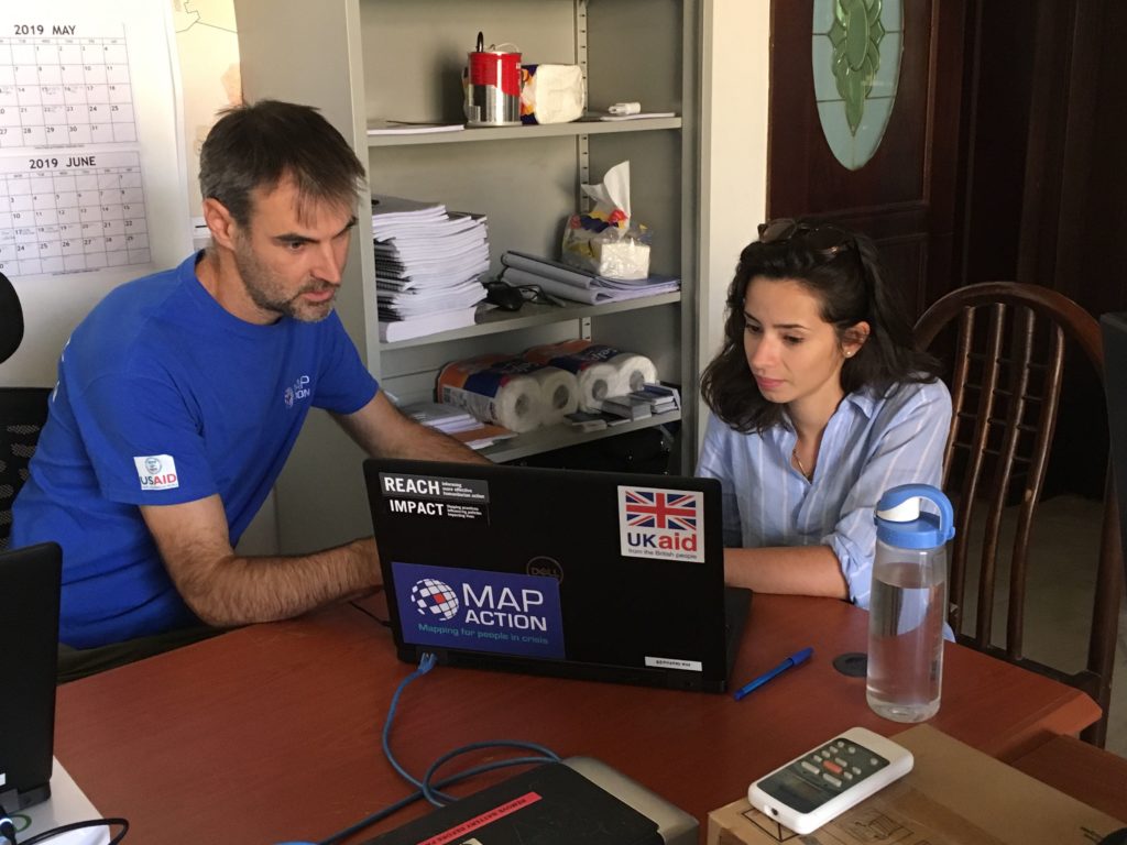
Along with partners, including ACAPS, REACH and UNOSAT, MapAction is supporting the United Nations Office for the Coordination of Humanitarian Affairs (UN OCHA) with a small team who will collect data and provide remote mapping and other visualisations of the situation to its Assessment and Analysis Cell. UN OCHA will be relying on it’s Regional Office for Latin America and the Caribbean (ROLAC) to coordinate its on the ground response. 

Haiti is due to be hit by Tropical Storm Grace on 17 August which will make it more difficult to reach those affected by the earthquake with shelter, food and water.

See our maps once they’re prepared.

German Federal Foreign Office logo
We’re grateful to the German Federal Foreign Office for funding this work.

Assessing communities’ needs in Afghanistan

After years of conflict, natural disasters and drought, a large proportion of communities in Afghanistan are in crisis and many people have fled their homes in search of safety and security.

Since last year, MapAction has been working with partners including REACH and ACAPS in Afghanistan to support country-wide assessments of humanitarian needs, including hard-to-reach areas.

Two MapAction volunteers have spent the past two weeks in Afghanistan working with the local REACH team to support REACH’s largest needs-assessment survey of the year across the whole of Afghanistan. They have been collaborating to analyse and present assessment findings and help plug information gaps. This will greatly help those working to assist communities that are caught up in what is one of the most complex humanitarian emergencies in the world.

We’re grateful to the UK’s Deprartment for International Development for supporting this important work.

Internal displacement crisis in Iraq

A two-person MapAction team is currently in Erbil, the capital of the Kurdistan Region of Iraq (KRI), working with the humanitarian information initiative REACH. We are supporting REACH to increase understanding of the region’s internal displacement crisis and the needs of those caught up in it.

Since the end of military operations, around 4 million people have returned to Iraq. Around half of these have been unable to return to their homes and are living at over 100 camps for internally displaced people. Since 2014, REACH has been carrying out assessments and providing information to support the humanitarian response.

Over a three-week period, the MapAction team is supporting REACH’s own international GIS team to optimise its data management and update overview maps of the camps. In the final week of the mission, the focus will be on analysing assessments of 13,000 camp households.

Thanks to the UK’s Department for International Development (DFID) and the Netherlands Ministry of Foreign Affairs for supporting this activity.