MapAction teams began responding to the devastating 6,8 magnitude earthquake in Morocco as news began to break on the morning of Saturday September 9th. The latest bulletin from the Moroccan Ministry of the Interior puts the death toll at above 2800, with thousands more injured.
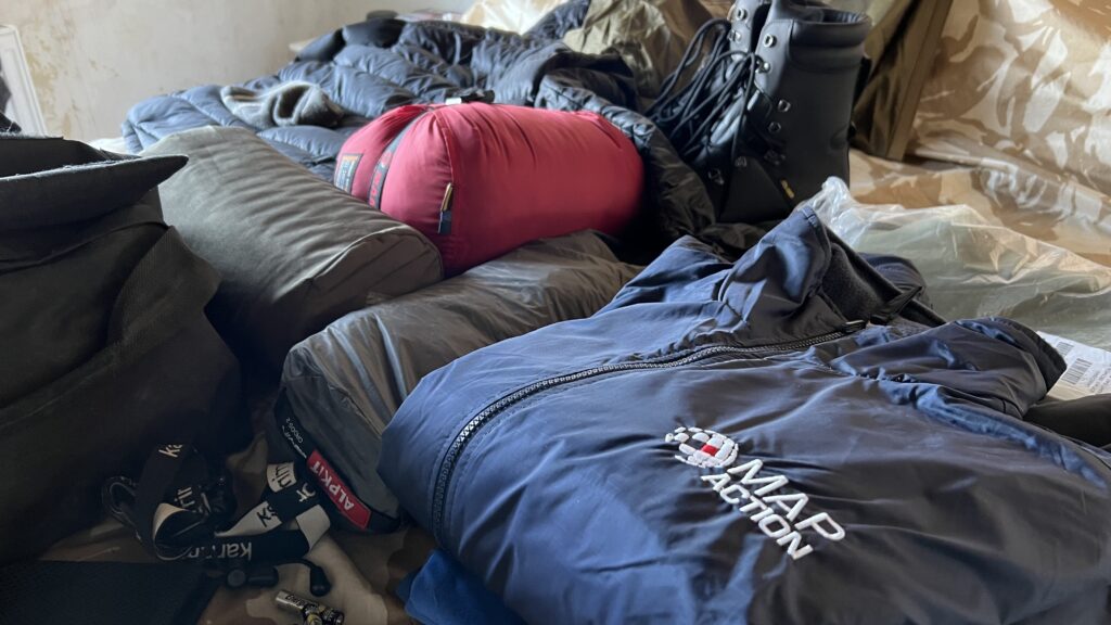
Every time a major natural disaster like this occurs, at MapAction we activate our internal emergency protocol and put out an alert among our cohort of 70+ expert data and geospatial volunteers. Based on availability, we build a team of ‘disaster landscape mappers’ on standby and ready to deploy to the field.
We currently have a team on standby to travel to Morocco if and when necessary and we have received a request for support from the United Nations Disaster Assessment Coordination office (UNDAC). Our remote team of mappers have begun to carefully select data points and package them into a set of useful maps, which are being shared with UNDAC.
The maps each paint their own picture: affected regions, provinces and prefectures, population density or elevation. Others highlight the shake intensity in different areas. We will continue to offer remote support and create maps that we know decision-makers will benefit from, drawing on our experience from 12 previous earthquake responses in the last 20 years.
READ ALSO: MapAction working to build disaster resilience globally
MapAction works on disaster preparedness 24/7, all-year-round. From the team that cancelled Christmas to rush to DRC in response to flooding, to those helping local communities to become better prepared for disasters, those delivering training, or advocating for better use of data for humanitarian response. We do the technical work that ultimately helps others save more lives. If you like the work we do and would like to support that work, or think you know somebody who would, please get in touch. MapAction doesn’t have the funds it needs, and the demands of responding to natural disasters are only getting greater. Read more in our appeal here.
