Key facts (April 26, 2023):
- More than 500,000 people severely affected by floods caused by heavy rains since December in Peru
- State of emergency declared by the national government in more than 50 percent of the country
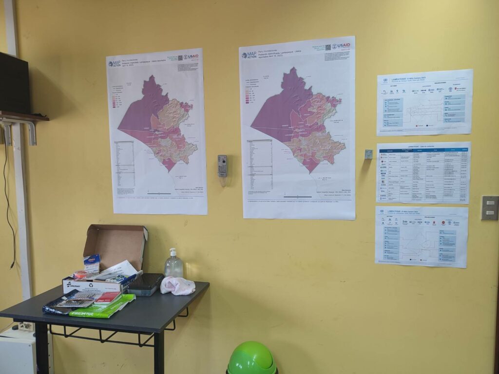
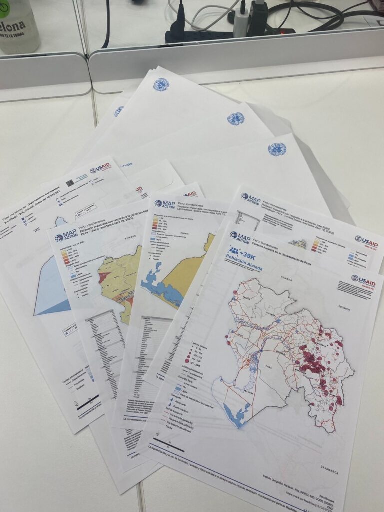
- Northern coastal regions of Lambayeque, Tumbes and Piura worst-affected
- MapAction rotating teams and mappers have been supporting the office of the United Nations Disaster Assessment Coordination (UNDAC) out of the capital Lima
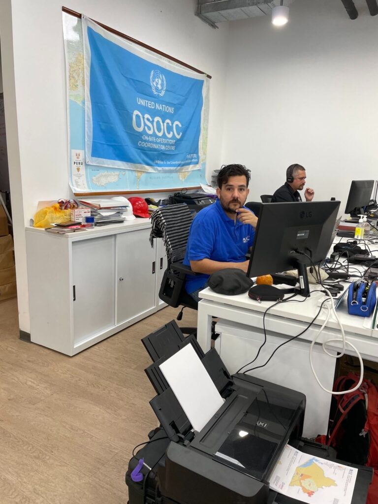
April 26. 09:30 UTC. MapAction’s mappers have set up temporary office in Lima, Peru, in the last week and maps are already reaching UNDAC and partners. Cue a new MapAction Wall.

April 14. 12:00 UTC. Experienced humanitarian mappers from MapAction have travelled to Peru to support the United Nations and the Peruvian government’s response to floods that have affected more than 500,000 people since December 2022. The Peruvian government has declared a state of emergency in 1056 districts, more than 50 per cent of the country, according to an update last week from the United Nations Office of Coordination for Humanitarian Affairs (UN OCHA).
In the northern Provinces of Tumbes, Piura and Lambayeque, among the most affected, the authorities issued an emergency declaration of the highest level. According to the latest report from UN OCHA, approximately 517,000 people have urgent humanitarian needs, 410,000 others have been directly affected, 12,000 houses have been destroyed and 73,000 damaged.
MapAction’s presence was once again requested by long-time partner UNDAC, the United Nations Disaster Assessment Coordination office. MapAction’s Luis Velasquez has travelled to Lima to be followed by experienced MapAction volunteer Becky Kervell in the near-future. MapAction’s Tom Hughes will support remotely from New York.
As the tweet below shows, roads and infrastructure in Peru have been heavily affected by the floods and landslides.
⚠️ #INFORMAMOS | Actualizamos la situación de la carretera:
✅KM 570 cerca a Tabalosos, región San Martín: PASE HABILITADO para todos los vehículos. Seguimos trabajando.
✅ KM 141, cerca a Ñaupe, región Lambayeque: PASE HABILITADO para todos los vehículos. Seguimos trabajando. pic.twitter.com/RbTQHghNLM— Concesionaria IIRSA Norte (@NorteIirsa) April 8, 2023
The Peruvian army has been evacuating children, elderly citizens and other vulnerable groups in some of the affected districts, reports Peruvian daily El Comercio.
MapAction’s work will be coordinated from the capital Lima but will focus on supporting regional hubs in each of the three most-affected regions: Tumbes, Piura and Lambayeque, all coastal regions in northern Peru.
Heavy flooding in Peru continues to threaten lives & livelihoods. Over 517,000 people need humanitarian assistance.
A @UNOCHA & UNDAC rapid response team is deployed to support the government-led response. Thank you to all partners and local organizations working on the ground. pic.twitter.com/2wkvoWSIeZ
— Edem Wosornu (@EdemWosornu) April 11, 2023
MapAction’s experience is often requested by international relief operators at the scene of natural disasters. Our disaster mapping helps inform better aid solutions for those affected, but remains under threat as it is not currently funded. If you would like to support this deployment financially, please get in touch with our Head of Philanthropic Giving, Howard Wheeldon: hwheeldon@mapaction.org
We need all the help we can get to continue to support unpredictable emergency responses. Please read about our Emergency Response Fund to understand more about the urgent need for more funding to mitigate the effects of natural disasters.