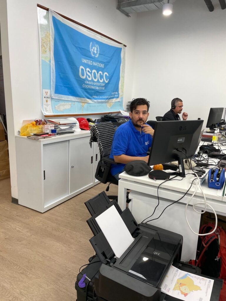
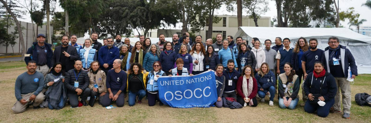
In early April 2023, a MapAction team led by Luis F. P. Velasquez deployed to Lima, the capital of Peru, to help map the response to deadly floods at the request of the local office of the United Nations Disaster Assessment Coordination (UNDAC), a longtime MapAction partner.
The government of Peru had declared a state of emergency in three northern coastal states and across 54% of the country, following heavy rains since December last year.
As roads and key transport hubs were blocked, schools forced to close and vulnerable people left stranded in large swathes of northern Peru, humanitarian respondents had to find ways to navigate the emergency and plan humanitarian support operations in an environment with limited data.
The MapAction team was supported remotely by Tom Huger, with volunteers Becky Kervell and Andy Kervell joining the mission a week later to support UNDAC’s efforts to map the aid response.
“There’s no way we could have produced such quality visualisation of the issues without MapAction’s team”, said a member of the UN’s Office for the Coordination of Humanitarian Affairs (OCHA), a key user of MapAction’s map products in Peru. “We would have had to rely on very simplified versions of maps, with a very limited update capacity,” added OCHA’s Peru flood response team member.
Portrait of an emergency
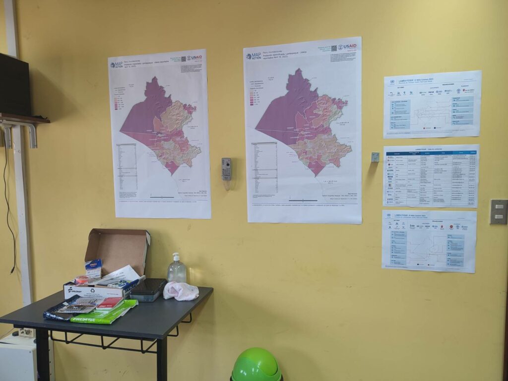
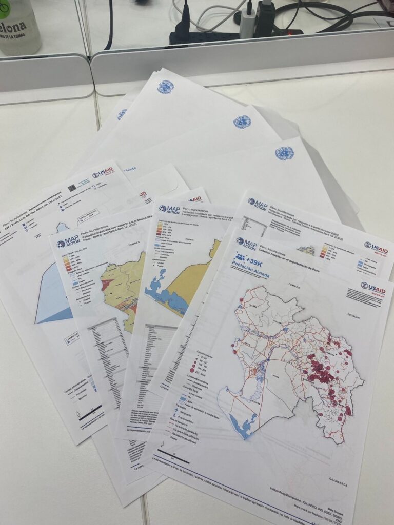
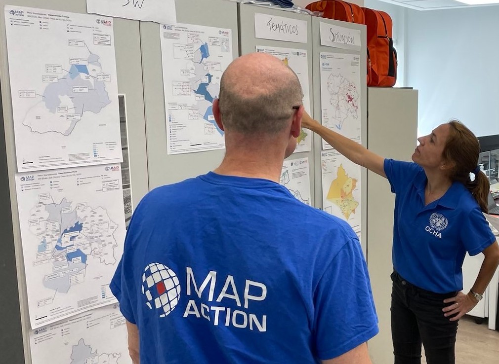
MapAction’s maps paint a clearer picture of the emergency for key managers and agencies involved in decision-making in any crisis. Besides the actual mapping, MapAction’s knowhow from over 140 emergency responses worldwide in the last 20 years acts as a radar for the most relevant data to map in a crisis scenario.
Feedback from partners suggests that MapAction’s intervention in Peru was timely and effective. “It would have been difficult to select the best, most relevant data that should be best presented in a map format,” without MapAction, added OCHA’s team member.
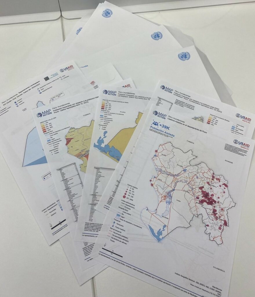
SEE ALSO: MapAction Peru floods maps
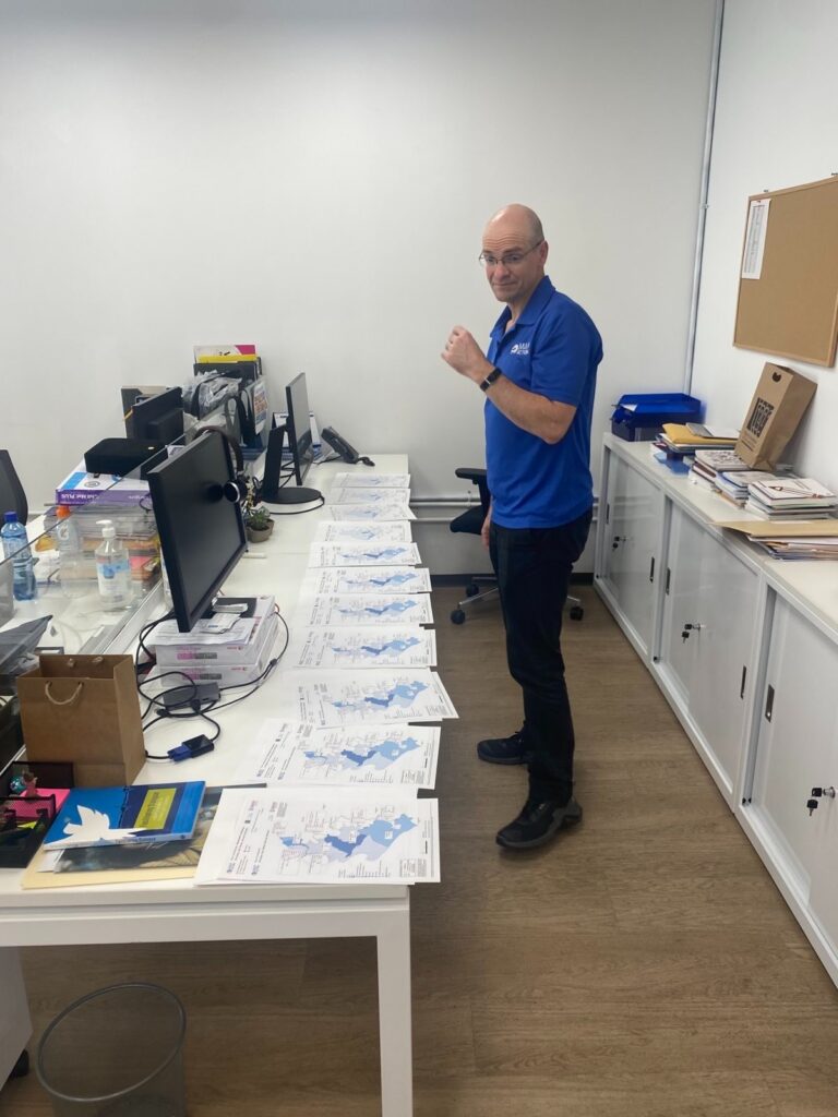
MapAction volunteer Andy Kervell, who also deployed, was happy to be able to visit old colleagues in Lima having previously worked on reconstruction efforts remotely as part of his day job with Arup* following previous floods in Peru.
“It really was about the opportunity to contribute to the response for communities affected by this event which I have previous involvement with from my day job with Arup,” said Andy Kervell, who spent two weeks mapping for UNDAC together with fellow geospatial humanitarian mapper, and partner, MapAction volunteer Becky Kervell.
“Clear way to identify most impacted areas”
Maps help everyone in an emergency response scenario get a better sense of a given humanitarian priority and co-produce the best possible relief decisions, whether it be in terms of shelter, resource allocation or getting aid to where it is most needed.
“It [MapAction’s maps] provided a clear way to identify most impacted areas – areas where there would be more people with humanitarian needs – in order to organise the response. This would have been done in people’s heads otherwise and not as effectively,” said a UN OCHA officer who worked on the flood response.
Volunteer Andy Kervell, one of circa 80 volunteers at MapAction, highlights how a map can also help decision-makers assess a specific crisis challenge with a given data set. This map of shelters in Piura, for example, highlighted that there was quite a difference in the number of people in shelters compared to those affected. This suggested that it was likely that families were staying within the community. Emergency responses require such key insights.
READ ALSO: MapAction conducts simulated volcanic eruption response exercise on Isle of Cumbrae
“Shaping of a clear situational picture”
“MapAction’s work helped increase the understanding of the humanitarian situation using the limited data available, as well as contributing together with other partners through other information products, in the shaping of a common and clear situational picture,” Antonio E. Miranda Melgar, information management officer at UN OCHA and a member of the Peru flood response in 2023, told MapAction.
The impact was tangible, adds Melgar: “This has helped the effective delivery of humanitarian aid by several humanitarian actors and decision makers.”
Team Leader Luis F. P. Velasquez added that MapAction’s presence helped to shape the humanitarian response. “MapAction’s work played an important role in advocacy, as well as helping in the effective delivery of humanitarian aid by strengthening decision-making processes through the use of data,” said Velasquez.
READ MORE: How maps can save lives when disasters strike
Want to support MapAction? Find out more about our work and current appeal here. We’re also on Twitter and LinkedIn.
*Andy Kervell’s time in Lima for MapAction was kindly part covered by the Arup Community Engagement Fund.