 KATHMANDU, 5 Oct – MapAction volunteers have been working to ensure the immediate availability of spatial data if disaster strikes the Kathmandu Valley of Nepal.
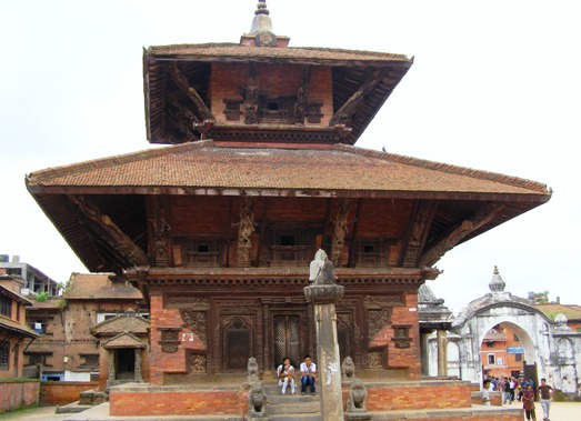
The Kathmandu Valley is highly vulnerable to earthquakes that tend to occur every 75 years or so – the last being in 1934. Fast urban expansion means that 1.7 million people are now potentially at risk. MapAction studied lessons from the Haiti earthquake in January this year where rapid situation mapping was constrained by the non-availability of base map data: which had existed but was lost beneath collapsed government buildings. A MapAction team was tasked with ensuring that this scenario cannot recur in any similar disaster in Nepal.
Alan Mills and Liesbeth Renders, both experienced volunteers with MapAction, visited Kathmandu in September and worked closely with United Nations and Nepal Government contacts to identify and review available map data sources.
At the end of the trip the team took with them more than eight gigabytes of map data copies that will be crucial in responding to a future emergency in Nepal. By holding copies of this data outside the country, a ‘worst case’ contingency can be covered.
MapAction’s Alan Mills said: “Knowing where vital data is held isn’t always enough in an emergency. Immediate access is vital to produce maps that can be used within hours by search and rescue teams after a catastrophic disaster.”
From a cartographer’s perspective, Nepal presents some interesting challenges. Several different geodetic datums and projection systems are in use. To ensure that satellite imagery can be combined accurately with other data if needed, Alan and Liesbeth surveyed a number of ground georeference points using GPS.
Using the experience gained, MapAction hopes to be able to do similar work to strengthen disaster preparedness in other potential urban disaster hotspots.