 BOTSWANA, 27 May – MapAction used a regional intergovernmental meeting as a means to kick off an initiative to enhance disaster readiness in southern Africa.
Spatial data is invariably a critical requirement for effective disaster response, but gathering datasets from scratch when a disaster is under way is never ideal, as data can be incomplete, old and not available at appropriate scales. Addressing preparedness of data can make a real difference in being able to produce required maps and information products for the crucial first stages of response. MapAction has become pro-active in addressing data preparedness, working with partner organisations. Following a pilot project in Nepal in 2010 (Disaster preparedness in Nepal ), and ongoing activities in the Caribbean islands (Caribbean kick-off for disaster preparedness), a new project, called Zambezi Emergency Basemapping and Risk Assessment (ZEBRA), has been conceived by MapAction to enhance emergency preparedness in southern Africa.
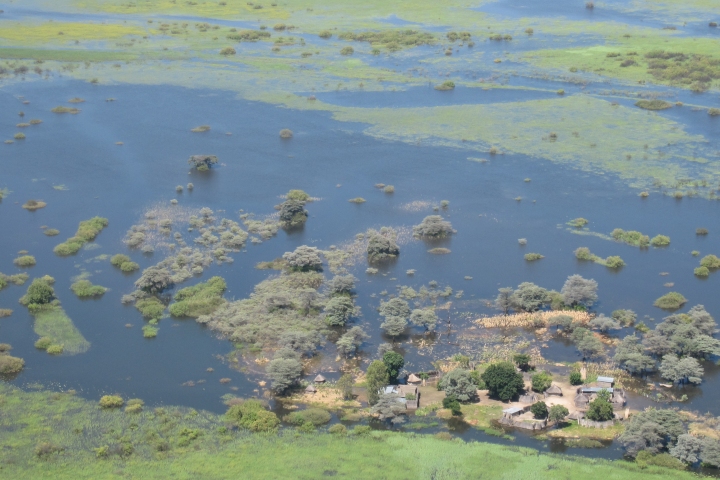
The ZEBRA project covers the Zambezi Basin (including parts of Angola, Botswana, DR Congo, Malawi, Mozambique, Namibia, Tanzania, Zambia and Zimbabwe) which is especially prone to long term droughts and recurring flood events.
MapAction is partnering with the Office for Coordination of Humanitarian Affairs (OCHA) Regional Office for Southern and Eastern Africa. The organisations jointly identified a draft Disaster Risk Reduction (DRR) strategy developed by the Southern Africa Development Community (SADC) as an ideal starting point for practical action on data readiness. SADC convened a planning meeting and workshop for national disaster management agencies (NMDAs), UN organisations, Red Cross, and NGOs in Gaborone, Botswana in late May. Alan Mills and Helen Campbell attended for MapAction to develop a coherent project plan. The meeting showed how building a collaborative network of data providers and information management structures, with the national disaster agencies at the centre, has the potential to produce long term solutions to both identifying good data and to updating it regularly.
ZEBRA project manager Alan Mills said: “This meeting has given MapAction a solid foundation for building the right links with both disaster management and GIS practitioners in southern Africa. In partnership with OCHA, and with the ratification of SADC and its member nations, we can now start the detailed work of identifying and assembling those datasets that will improve our ability to help people caught up in natural disasters throughout the region.”