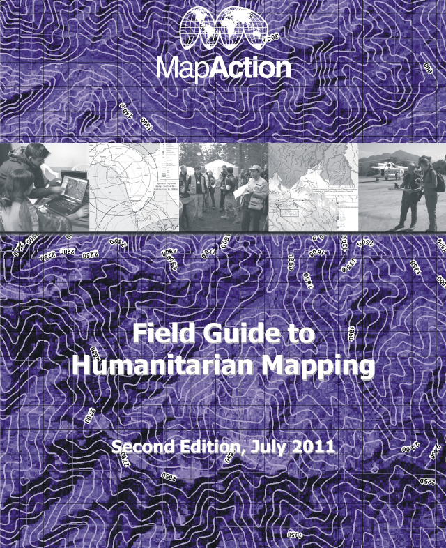
 UK, 23 Aug – MapAction’s popular Field Guide to Humanitarian Mapping, first published in 2009, has just been updated and expanded.
The second edition of the Guide contains 35% more content than the first edition. In response to requests from users there is a completely new chapter on data collection with step-by-step instructions on accessing many free map data and satellite imagery sources available for various parts of the world.
The new edition continues the principle of helping aid organisations on limited budgets to find and use free and open-source software. This year’s Guide contains an in-depth manual for the use of the Quantum GIS open source software suite, which in MapAction’s experience is now reliable and well supported. As before, the Guide also contains many tips and techniques for using Google Earth.
The Guide’s principal author Naomi Morris is one of MapAction’s experienced volunteers and has used a wide range of GIS techniques and tools in challenging field environments including Haiti, Pakistan and Papua New Guinea. She said of the new edition: “We got great feedback from users of the first edition. It helped us to make the new Guide even more relevant and useful for aid workers who need practical solutions that work in the field, and who don’t want to waste time reinventing the wheel.”
Because the publishing costs have been covered by a generous grant from the Dulverton Trust, the new Guide is available as a free PDF download – Field Guide to Humanitarian Mapping (13mb). A printed version in handy A5 wire-bound format will shortly available to purchase via the online bookshop of the RGS-IBG website page for £16 including postage and packing.
Download here – Field Guide to Humanitarian Mapping – hi res (13mb).
A low res version is available here – Field Guide to Humanitarian Mapping – low res (4.2mb)
