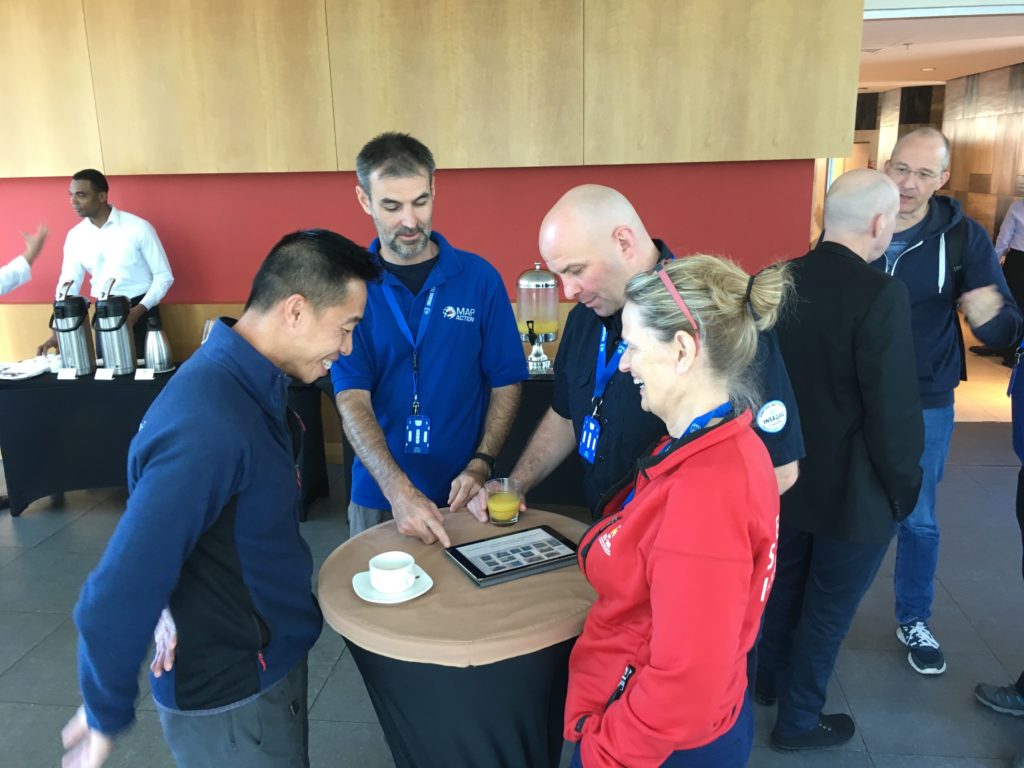
MapAction has been collaborating for a number of years with French NGO and fellow humanitarian information management specialists CartONG.
In addition to our operational activities, we thought it would be worthwhile to pool our collective knowledge to create an informative article. The ten-minute read aims to give some helpful tips for people creating maps intended to assist humanitarian responses to the Corona virus and other pandemics.
Between us, we have a lot of experience of using geospatial analysis and visualisations to inform decision-making in this and previous epidemics, such as Ebola, as well as the current pandemic. We wanted to share this knowledge more widely and felt that, by working together, we could create something really useful and reach more people. Although it was written with pandemics in mind, many of the points apply to all kinds of map making.
You can read the article on the CartONG blog below.

This project was co-funded by the French Development Agency (AFD) and the H2H Network’s H2H Fund, the latter supported by UK aid from the UK government.