 UK, 22 Feb – Following the success of the inaugural Introduction to Humanitarian Mapping course in London last October, MapAction is pleased to announce the dates of two further courses.
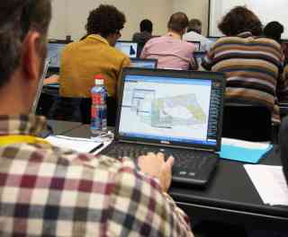
The 3 day introduction to humanitarian mapping course will run in London on 4-6 April 2011. It is designed for humanitarian and development field workers and others who want to use GPS and free/open source mapping tools in their work. The syllabus is grounded in practical, proven methods used by MapAction in disaster emergencies and development projects. It will include advanced use of Google Earth, how to find useful map data, and using the open source Quantum GIS software package.
The new 1 day GPS and data collection for humanitarians course will cover the essential skills in using a GPS and data collection in the field.
The venue and facilities for both courses are being provided by the UK Royal Geographical Society, which is an experienced provider of training on fieldwork methods.
Full details about the course and how to book a place can be found on the following RGS-IBG website page.