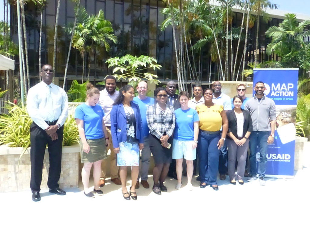
Two MapAction training courses are in progress in Trinidad & Tobago this week.
Three MapAction team members are privileged to be working with members of civil protection response teams from Trinidad & Tobago, Guyana and Surinam. We are collaborating to share geospatial skills and experiences to support readiness for response to communities.
In the region, hurricanes and storms are a key concern, but several countries also respond to a multitude of different concerns affecting their citizens including earthquakes and other seismic risks.

We are very grateful for the support of The Office of Disaster Preparedness and Management of Trinidad & Tobago for their support. This is part of an ongoing joint programme we are carrying out with the Caribbean Disaster Emergency Management Agency (CDEMA). We have already run humanitarian mapping courses with CDEMA in Antigua & Barbuda, Barbados and Jamaica. This important work is funded by US Foreign Disaster Assistance (OFDA).
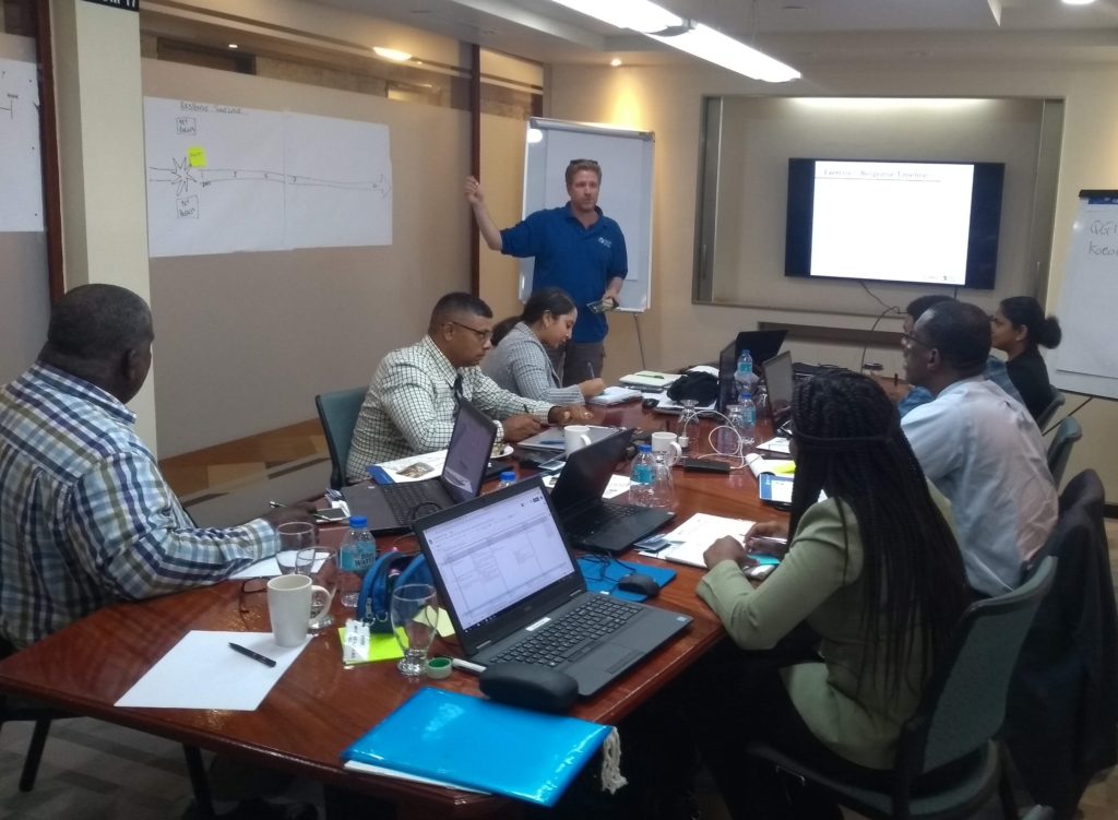
Training MapAction’s latest recruits
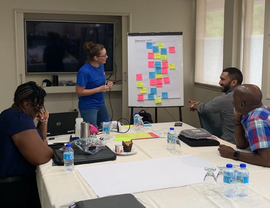
Also in Trinidad & Tobago this week, the newest members of MapAction’s Caribbean section are being put through their paces on our Conversion Course which, through a combination of theory and practical exercises, prepares our GIS expert volunteers for deployments to humanitarian emergencies.
The week-long course covers numerous topics including sources and collection of humanitarian data, mapping in emergency conditions, priority needs and the timeline of a response.