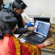
 Two MapAction volunteers have completed a project to provide GIS know-how to the NGO Chirag based in the Indian Himalayas. Chirag's team are now equipped to use GPS in conjunction with free GIS software tools to track their reforestation programmes that deliver social, environmental and disaster risk reduction benefits. (Picture: MapAction)
