At least 5000 people have been confirmed dead (updated: Feb 7, 09:30 GMT) after a devastating 7.8 magnitude earthquake, and subsequent aftershocks, struck southeast Turkiye (formerly known as Turkey) and northwest Syria on Monday February 6th. That seismic event was swiftly followed by a second 7.5 magnitude earthquake in the same region and dozens of aftershocks, according to UN agencies and mainstream media, including Al Jazeera and the Guardian.
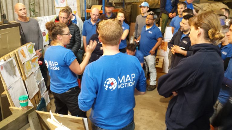
Humanitarian mapping and data charity MapAction began working in the early hours of Monday Feb 6th, as team members saw early news of a devastating earthquake near the Turkish/Syria border. With remote work already underway on updating of key maps and data, MapAction has been planning with UN and other emergency response partners and its own standby team members.
The first earthquake struck Kahramanmaras Province in southeast Turkiye in the early hours of this morning, states an initial report from the Global Disaster Alert and Coordination System (GDACS). The same source estimates that 4.8 million people who live within 100 kilometres of the epicentre will be exposed to the disaster, many of whom live in temporary camps and are facing sub zero winter temperatures.
“It’s a very shallow earthquake beneath highly populated areas and in a region which the buildings just can’t stand this level of shaking,” Stephen Hicks, a computational seismologist from University College London (UCL), told Sky News of the largest quake, adding that this earthquake – the “worst kind” – had ripped through an area 400-kilometres wide in under two minutes. “When we talk about earthquakes this large, the epicentre is not a single point. It’s actually ruptured along a fault of about 400km,” explained Hicks.
The EU and UN jointly-run GDACS assessment team has declared the disaster level as red, the most severe for an earthquake. Many governments have already offered assistance. Disaster relief agencies have deployed teams to the area and MapAction is coordinating with partners on how to best support the emergency response.
MapAction: 11 earthquake responses
MapAction has been involved in providing mapping, data and information tools to disaster relief agencies coordinating key emergency responses in 11 earthquakes in the last 18 years: from Haiti, to Pakistan, Indonesia, Nepal and several other countries, MapAction has accrued extensive knowhow in how responses to earthquakes develop, as well as an understanding of the most urgent mapping and data management needs for disaster relief agencies.
The initial response to such an earthquake focuses on search and rescue operations, as well as damage assessment. The two major earthquakes, and subsequent shocks (reported to be up to 40), have affected a very wide area, much of which lies within conflict zones.
“Search and rescue teams require rapid detailed maps of collapsed site locations and search sector boundaries, as well as hospital locations and status, base of operations and other resources,” note MapAction’s guidelines on mapping needs in search and rescue operations. The status of all key data points like roads, transport hubs, hospitals and urban landmarks will all need to be mapped.
Please stay tuned for updates and further information about MapAction’s response in the coming days.